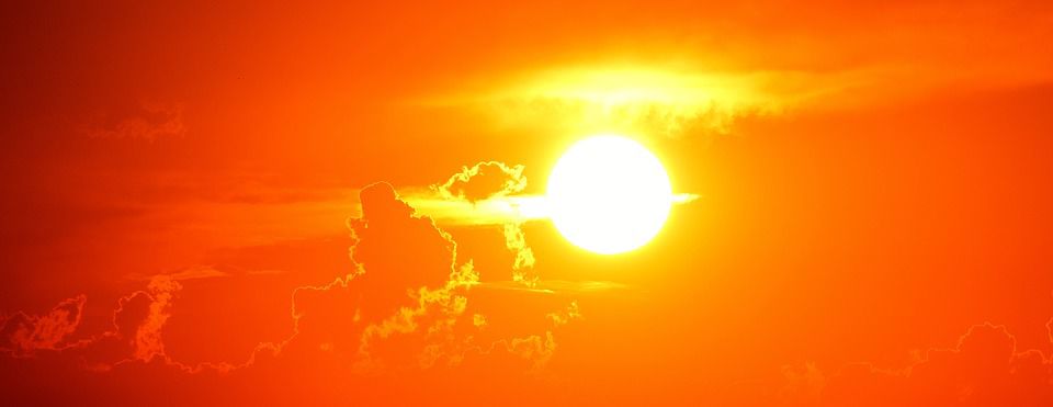
Over the last several days we’ve had record heat, with temperatures at least 10-15 degrees above average. This pattern of hotter than normal temperatures looks to stick around for the remainder of the week. You have likely noticed the high heat, but have you noticed the lack of rain? These are going hand and hand because of a weather phenomenon called a heat dome.
A heat dome is the result of a couple factors coming together. First, is the position of the jet stream, sitting very far north. Second, is a building ridge of high pressure south of the jet. High pressure leads to sinking air, which compresses and warms, increasing our already hot temperatures.
While record temperatures are possible under heat domes, they aren’t the biggest problem. The danger comes from days and days of high heat and poor air quality. This can become dangerous, or even deadly, for anyone with respiratory issues or anyone out in the sun or in non-air conditioned places.
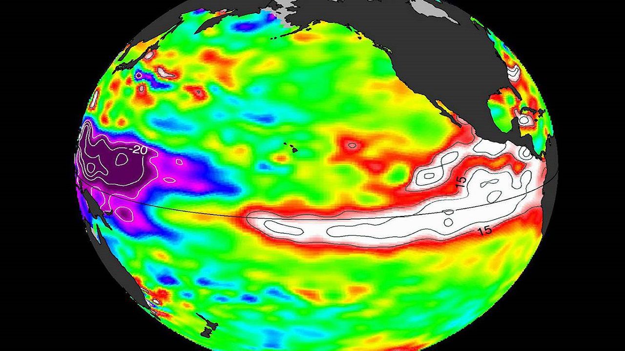
A team of NOAA scientist found heat domes are mainly caused by a strong change in ocean temperatures in the tropical Pacific ocean, during the winter months before. NOAA uses a heated swimming pool as an example, explaining the areas around the heated jets will warm up first, while the rest of the pool will follow. Over the last few decades, the water in the western Pacific ocean has warmed faster than the eastern Pacific. This creates a gradient, which is turn drives wind. The gradient leads to more warm air rising over the western Pacific, in turn decreases convection over the central/eastern Pacific. The wind that drives our weather moves the hot air east. Then the jet stream traps the air and moves it towards land, where it sits for several days and a heat wave develops.
Stay hydrated, use sunscreen, wear lightweight/light colored clothingm, and take breaks often if you are spending time outside. Remember to keeps pets safe in the heat and check on eldery neighbors.