Hurricane Helene made landfall Thursday night along the Big Bend coast of Florida as a category 4 storm. The storm is now weakening as it tracks to the north, bringing flooding rain, strong wind gusts and the threat for tornadoes to North Carolina.
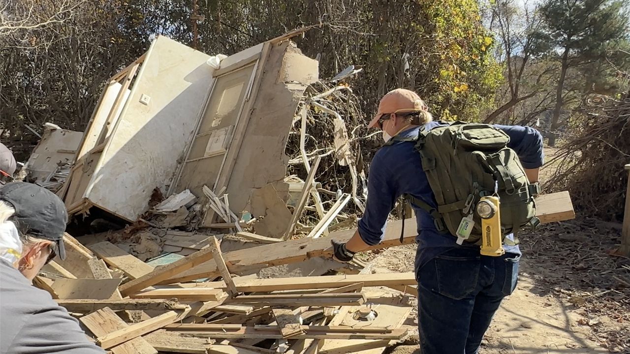
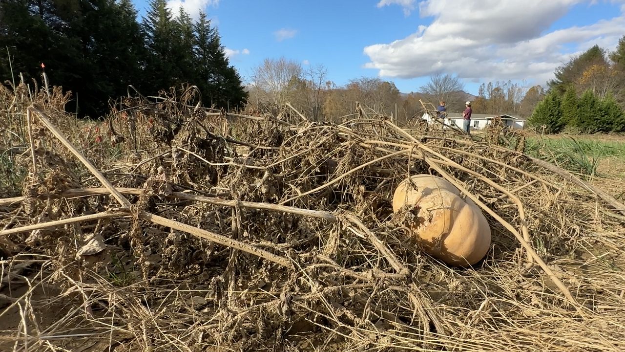
Flooding has already been occurring around the mountains of western North Carolina since Wednesday night.
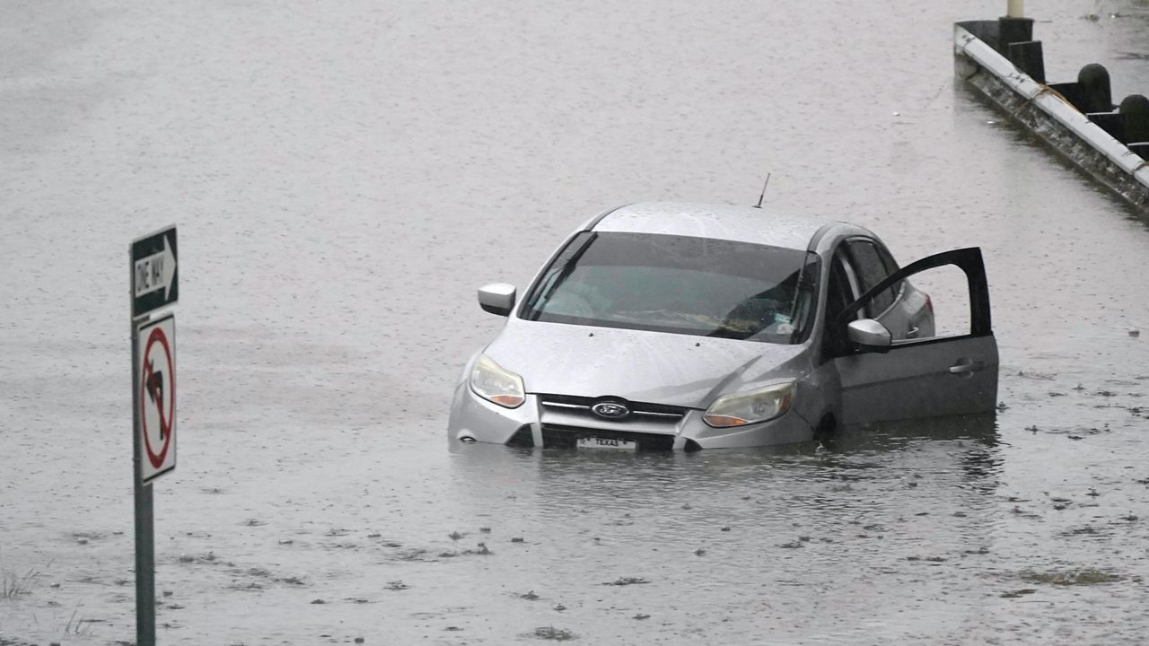
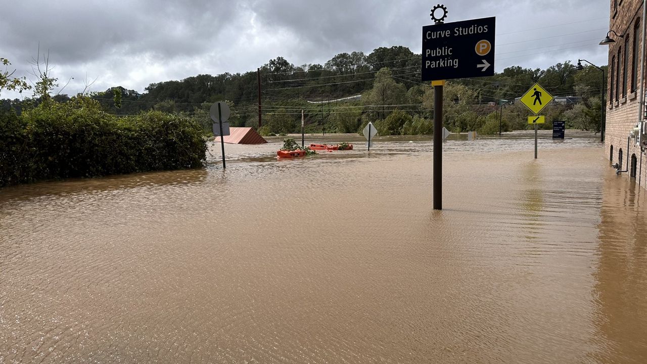
Heavy rain through Friday morning is forecast to produce widespread flash flooding that could wash out roads and cause landslides in the mountains and foothills.

Rainfall totals up to 18 inches are possible in some mountain communities.
Travel across parts of western North Carolina is dangerous and roads could become impossable in some areas.
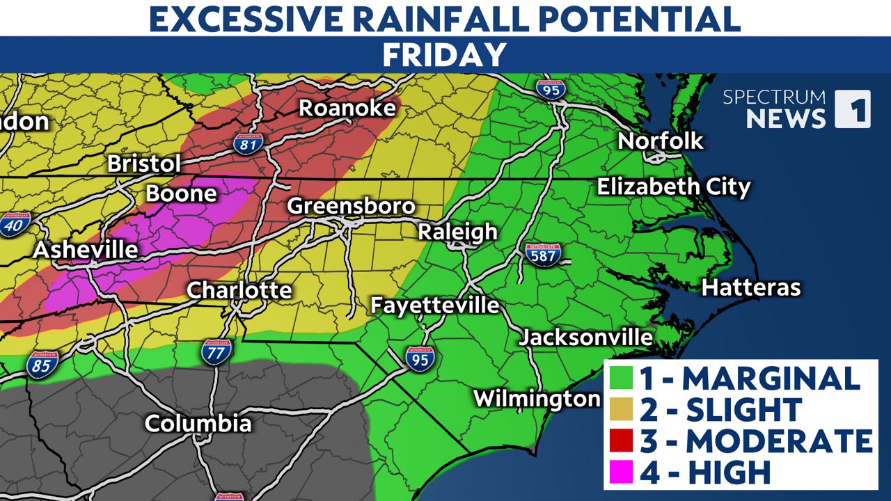
Other parts of North Carolina are expected to see rain that could lead to more localized flooding.
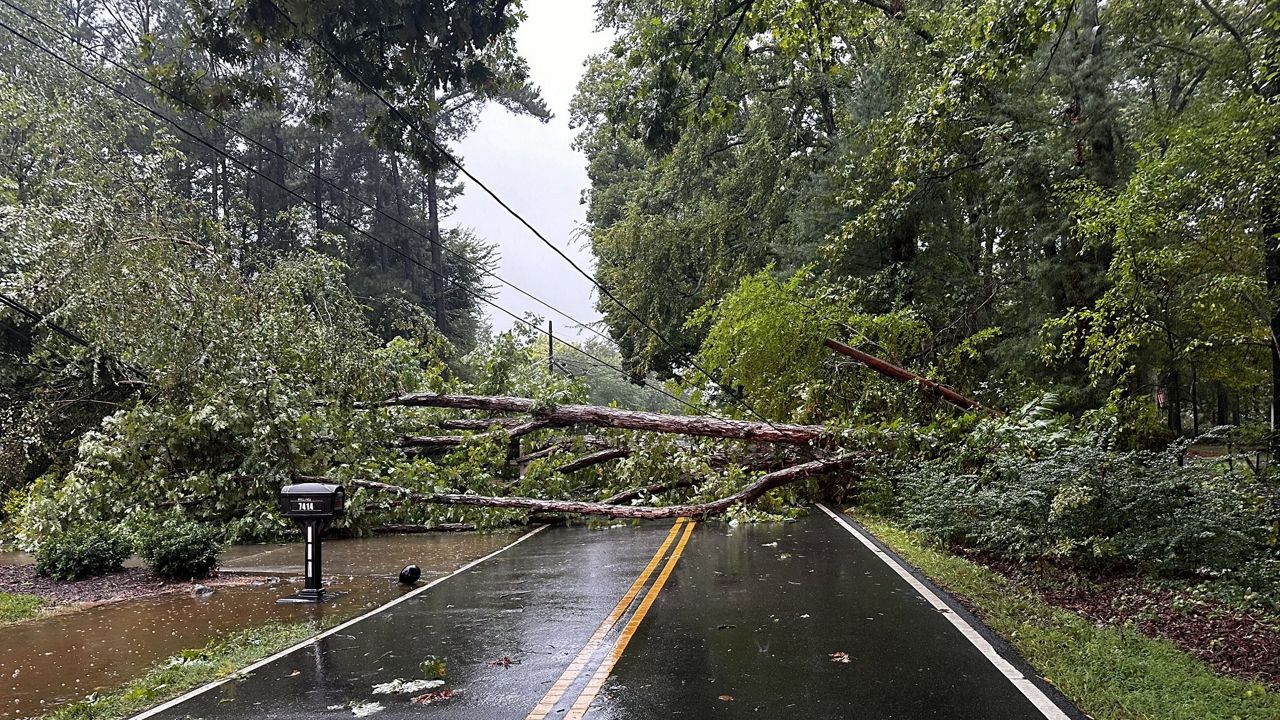
The strongest wind gusts in North Carolina with Helene will likely also occur around the mountains and foothills. Gusts up to 70 mph, along with saturated ground will lead to downed trees and the possibility for widespread power outages.
Other parts of the state could experience gusts up to 35 mph.
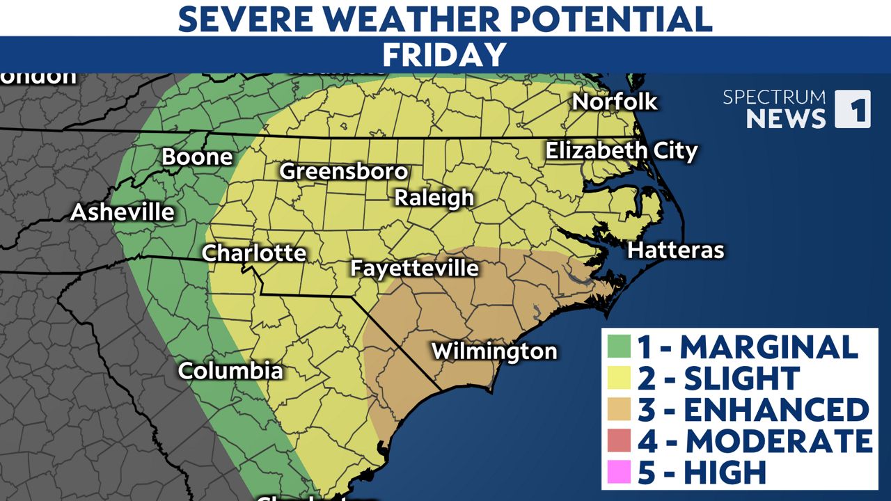
Most of the state will be on the side of the storm where tornadoes could spin up. Make sure you have a way to receive weather alerts Friday.
If a warning is issued, be ready to seek shelter quickly. Tornadoes with tropical systems can spin up quickly, giving little lead time for warnings.
A small, interior room on the lowest floor of a sturdy building is the best place to seek shelter. Basements, closets, hallways and windowless bathrooms often provide the best protection.
The expected impacts from Helene could still change if the forecast track of the storm shifts over the next couple of days. Stay tuned to Weather on the 1s on Spectrum News 1 for updates.
Our team of meteorologists dives deep into the science of weather and breaks down timely weather data and information. To view more weather and climate stories, check out our weather blogs section.