


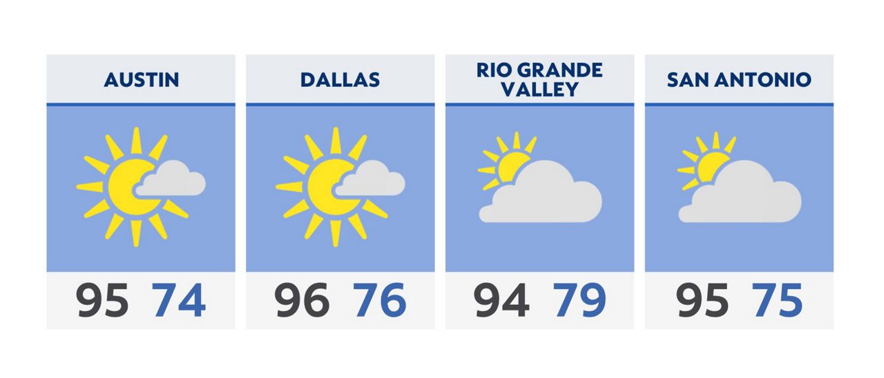
Skies are expected to be mainly clear as we kick off our Thursday morning. Low temperatures will be in the 70s.
You can leave the umbrella at home, as we are expecting sunny and dry conditions for the afternoon with highs in the middle and upper 90s. A similar forecast is expected Friday.
Unfortunately, the weekend will likely bring additional rain and storms. We are still ruling out the exact timing and potential rainfall amounts for Saturday and Sunday.
For now, enjoy the welcome break in inclement weather!
Click here for the latest 7 Day Forecast | Click here to share your weather photos