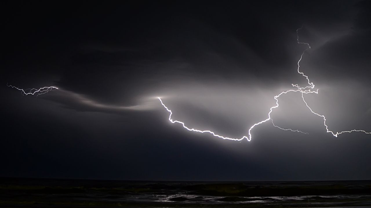
A developing nor'easter will bring rain and storms to North Carolina, especially overnight and into early Saturday morning.
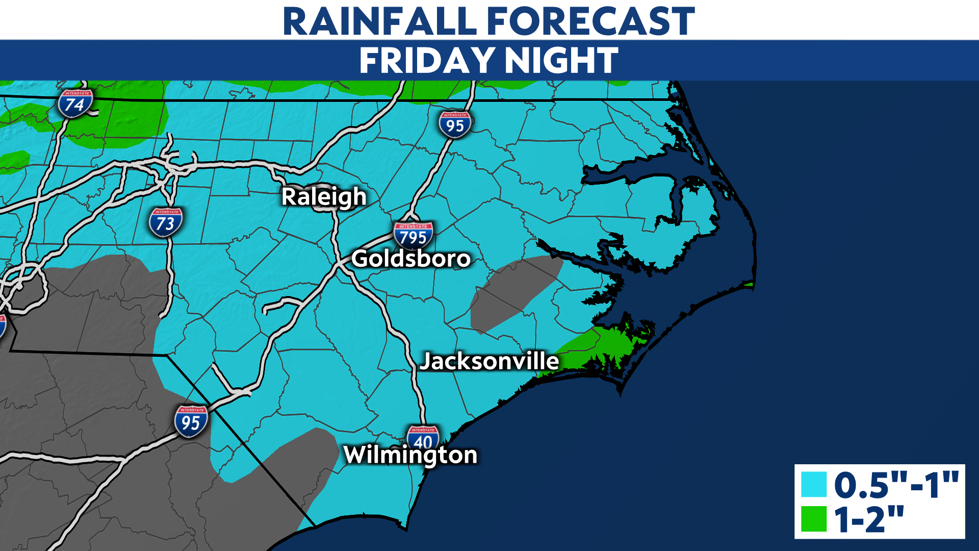
A cold front sweeps across the state Friday night, leading to the likelihood of storms. The opportunity for rain really picks up after about 9 p.m. and is done by daybreak Saturday.
The severe weather threat is over the eastern part of the state, particularly east of the Raleigh area.
If storms do turn severe, the main threat will be gusty winds. A tornado is also possible, mainly closer to the coast.
While the heaviest rain will fall to our north, we are in line for local downpours as well. Rainfall amounts could push to around an inch in spots.
The main threat for severe weather will be east of Interstate 95 in eastern North Carolina.
Because rainfall over the past month is about double the normal amount, it won't take much to cause ponding and standing water. Flash flooding is not a concern at this time though.

Stay with Spectrum News for more details on this storm system and potential impacts.


