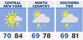
Look for showers and storms to end overnight with lows ranging from the mid 60s to low 70s.
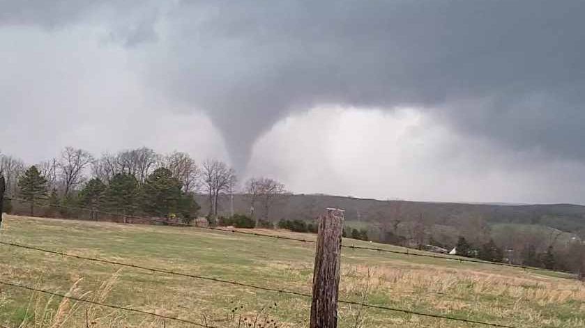
Continued warm and humid Thursday with highs mostly in the 80s. After a dry start, a strong cold front will move through with showers and storms for the second half of the day. Storms may produce damaging winds, large hail and torrential rain which may lead to flooding. The highest risk for severe weather Thursday afternoon will be for areas east of I-81.
The first day of sunny will be sunny and pleasantly warm with highs in the 70s/80s. Heat and humidity will ramp back up for the weekend and first half of next week.
Watch live | Share your weather photos | Hourly forecast and latest radar | Active weather alerts | Closings and delays