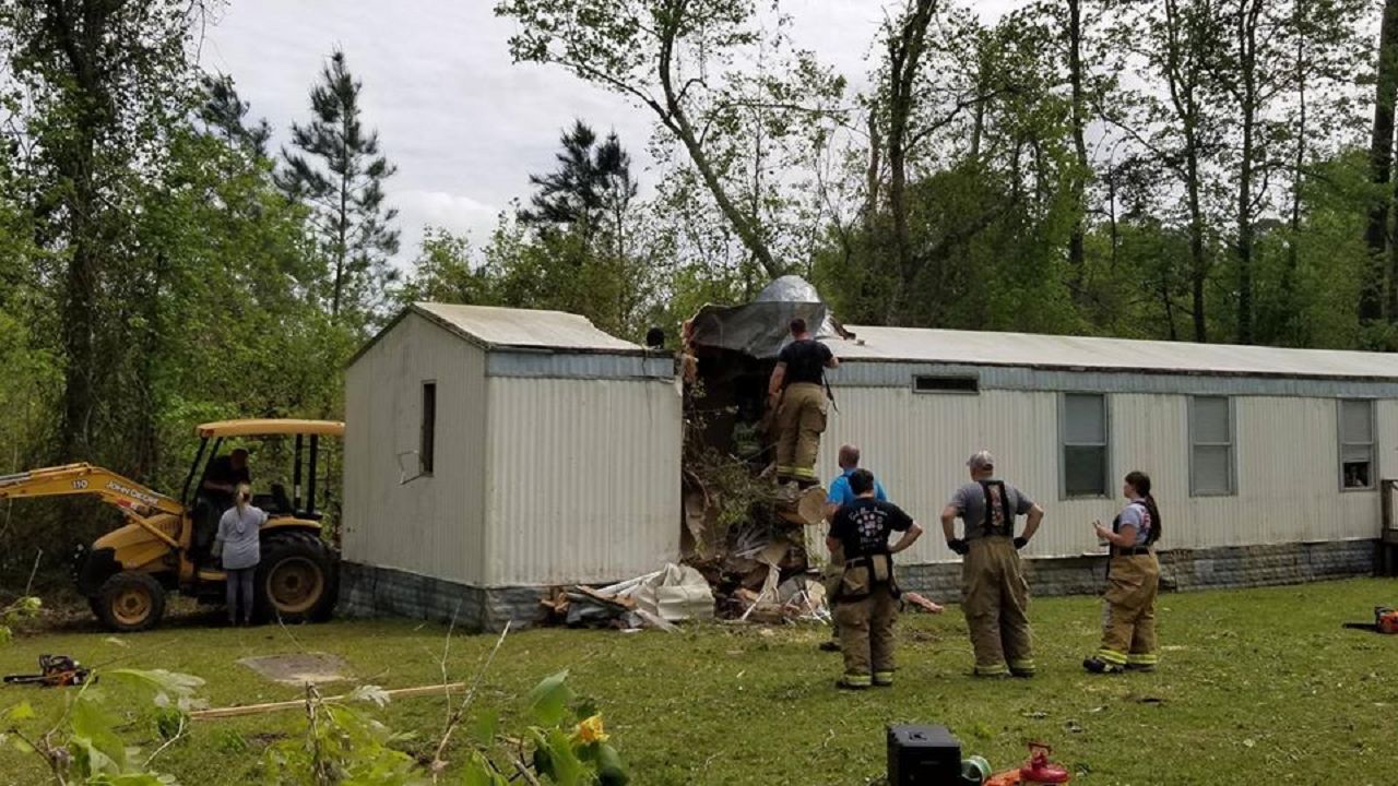
NORTH CAROLINA – A line of severe storms marched across North Carolina Monday morning, leaving numerous damage reports across the state. While most of the damage was caused by straight-line winds in severe thunderstorms, the National Weather Serivce has now confirmed 12 tornadoes in North Carolina.
Eleven of the 12 tornadoes were rated either EF-0 or EF-1. That is on the "weaker" side of the Enhanced Fujita scale that ranges from EF-0 to EF-5.
The strongest tornado in the state was an EF-2 that struck near Morven in Anson County destroying two chicken houses and lifting a mobile home off its foundation.
A second tornado that touched down in Anson County was rated an EF-1.
Here are the findings from the storm survey conducted in Anson County yesterday. For more info: https://t.co/5Ic7uNkM3a #ncwx pic.twitter.com/4cHFHaAvMY
— NWS Raleigh (@NWSRaleigh) April 14, 2020
One of the first tornadoes to touch down was in southeastern Alamance County around 6:30 a.m.
Here is the tornado track from the strong EF-1 that touched down in Alamance County. #NCwx pic.twitter.com/eDDhkkKVnJ
— NWS Raleigh (@NWSRaleigh) April 13, 2020
- PHOTOS: Early Morning Storm Damage Around North Carolina
- Coronavirus Plus Severe Weather Takes Mental Health Toll
- Power Outage Map in North Carolina
Later in the morning, storms produced several tornadoes near the coast. The National Weather Service Office in Wilmington has confirmed tornadoes near Whiteville, south of Burgaw, and a waterspout that came inland at Oak Island.
PNS has been issued for 3 of the 4 storm surveys conducted today. EF-1 damage was found in Columbus County SE of Whiteville and in Pender County south of Burgaw. EF-0 damage found in Oak Island. Survey in Georgetown still ongoing. Full PNS: https://t.co/J6OpZpnlRV #scwx #ncwx
— NWS Wilmington NC (@NWSWilmingtonNC) April 13, 2020
The National Weather Service Office in Newport/Morehead City also confirmed four other tornadoes.
EF1 Tornado with top winds of 100 to 105 MPH confirmed today near Jacksonville just after 930 AM. More details on path width and length are coming. pic.twitter.com/HHJWYKWTKE
— NWS Newport/Morehead (@NWSMoreheadCity) April 13, 2020
A storm survey confirms an EF0 tornado with top winds of 60-65 MPH today at 1001 AM in Maysville. More info to follow. pic.twitter.com/1q0ehWJWG4
— NWS Newport/Morehead (@NWSMoreheadCity) April 13, 2020
Another tornado from April 13th was confirmed today. This one was about 5 miles southeast of Pollocksville and was an EF0 with top winds of 75 to 80 mph. More info: https://t.co/oEvTkc3vzq pic.twitter.com/esPWaO9jrI
— NWS Newport/Morehead (@NWSMoreheadCity) April 14, 2020
In addition to the photos tweeted from tornadoes near Jacksonville, Maysville, and Pollocksville, EF-0 tornadoes was reported near Havelock, Bayview, and Roper .
The National Weather Service in Newport did note that it is possible the Pollocksville tornado may have been a continuation of the Maysville tornado, but that could not be fully determined due to the location.
- Project Weather: Tornadoes
- Sign Up for Text and E-mail Weather Alerts
- North Carolina Severe Weather Statistics
The total number of tornadoes in the state is still subject to change as the National Weather Service continues to gather damage reports.


