This week's unsettled weather across North Carolina will continue for one more day.
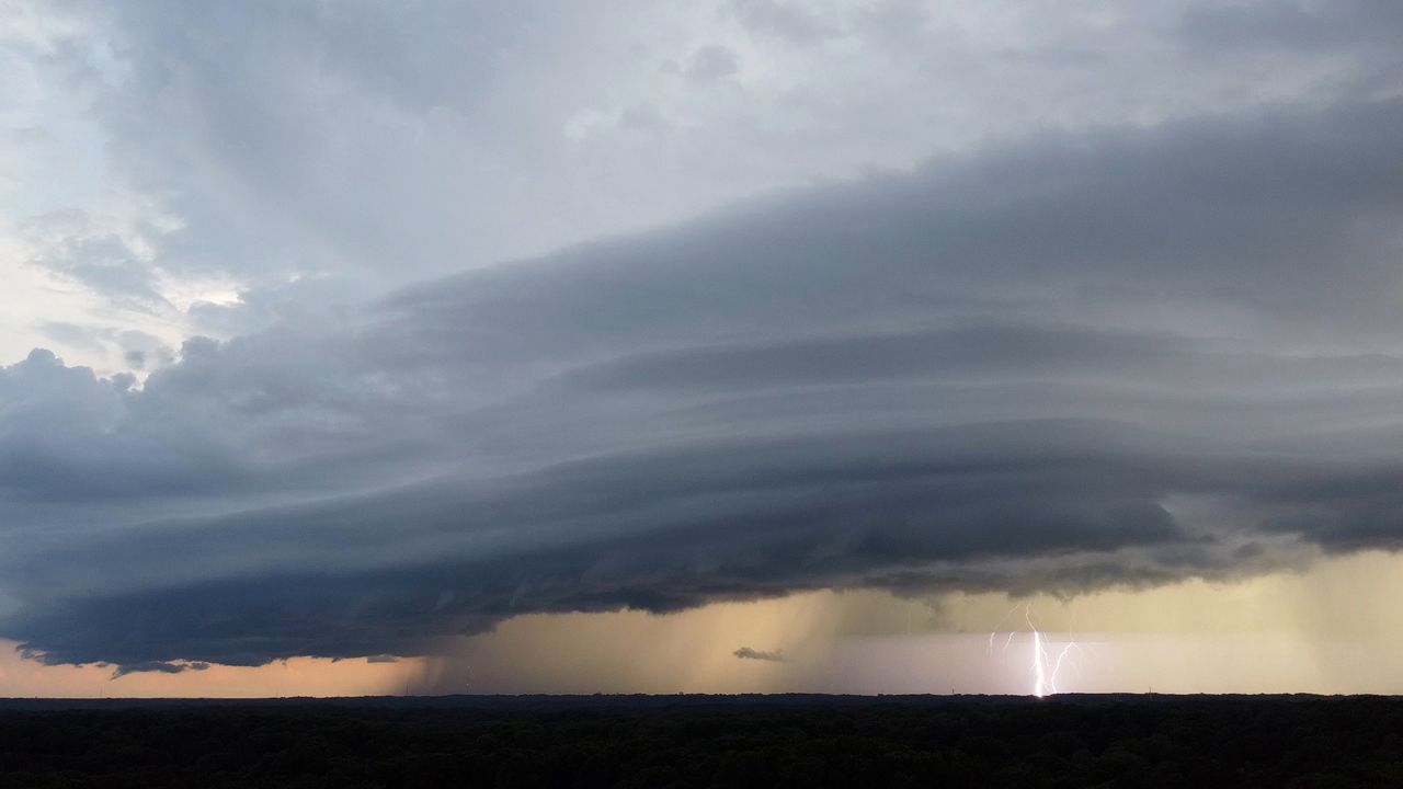
Nearly 100 separate reports of damaging winds and large hail have occurred across the state since Wednesday from the mountains to the coast. Some of the worst storms hit near Gastonia. The National Weather Service confirmed two EF-1 tornadoes in Cleveland and Gaston counties.
This week's stormy weather hasn't been an issue in just North Carolina. Since Monday morning, severe weather has produced well over 1,000 reports of damaging winds, large hail and tornadoes across the country.
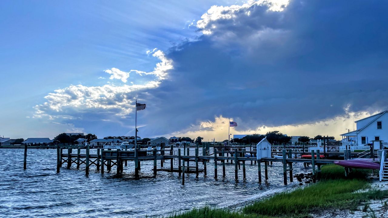
Storms well south of North Carolina and early morning rain helped to keep things calmer on Thursday, but scattered storms are expected to linger this evening with the warmth of the afternoon from Friday.
A few of the storms may remain strong enough to produce damaging wind gusts and hail along with downpours and lightning through this evening. The threat for a tornado is not zero but does appear low at this time.
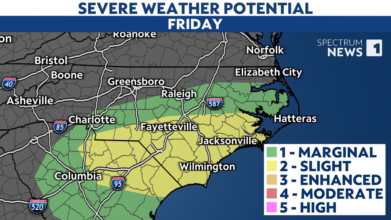
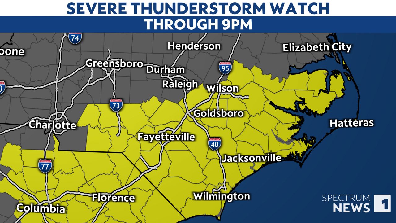
A severe thunderstorm watch remains in effect for much of the area through 9 p.m. with storms tapering off in the Sandhills first and finally for the coastal plain after sunset.
It's still important to make sure you have a way to receive weather alerts through Friday evening and move to a safe location if a warning is issued for your area.

After tonight, we can then look forward to a storm-free weekend across the state.
Shower and storm chances will return around Tuesday and Wednesday of next week.
Our team of meteorologists dives deep into the science of weather and breaks down timely weather data and information. To view more weather and climate stories, check out our weather blogs section.