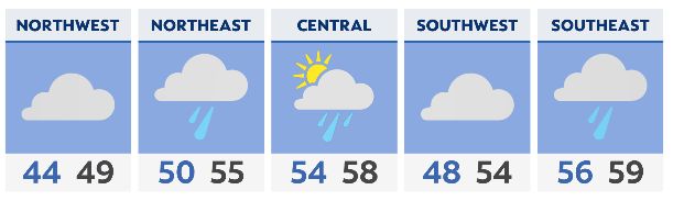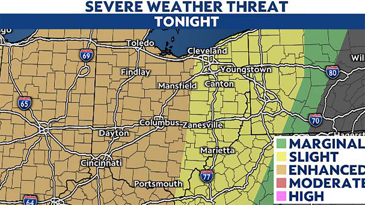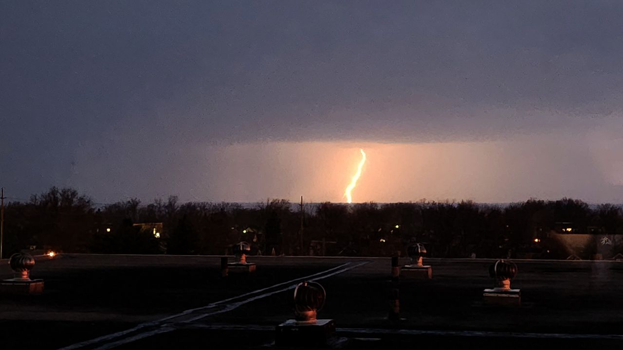
Showers and light rain will be possible this afternoon. Otherwise it will be mainly cloudy, mild and breezy with highs in the mid-60s to lower 70s. Then comes the risk of severe weather this evening as a strong to intense line of thunderstorms moves across the state.
Heavy rain, thunder, lightning, and gusty winds are pretty much a given with the line as it moves through. Damaging wind gusts, spin-up tornadoes and hail are all possibilities, with the wind damage risk will be the biggest concern.
The storms will enter western Ohio between 5 p.m. and 7 p.m. and depart into Pennsylvania and West Virginia shortly after midnight. Any one location will experience an hour or less of really intense weather given this will be a line of storms.
Once the main line clears your area things will relax quite a bit. Only some leftover showers are in the forecast later tonight into Monday morning. As we move through the day Monday the chance of rain will end and temperatures will drop.
Monday afternoon will be cloudy, breezy and chilly. Tuesday will also be rather cool with less wind and a mix of sun and clouds. Then it's right back to an active pattern across the state.
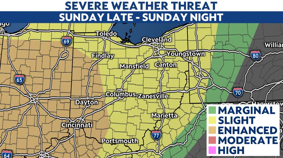
Wednesday we'll warm right back up and see another strong system move in from the west. This will result in a good chance of rain and thunderstorms once again Wednesday and Wednesday night. There will also be a risk of severe weather.
Multiple rounds and waves of rain, downpours and thunderstorms are expected between early Wednesday and next Sunday. There will likely be some breaks in the rain, but a good deal of wet weather is likely during this period, possibly leading to an elevated flood risk.