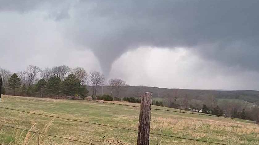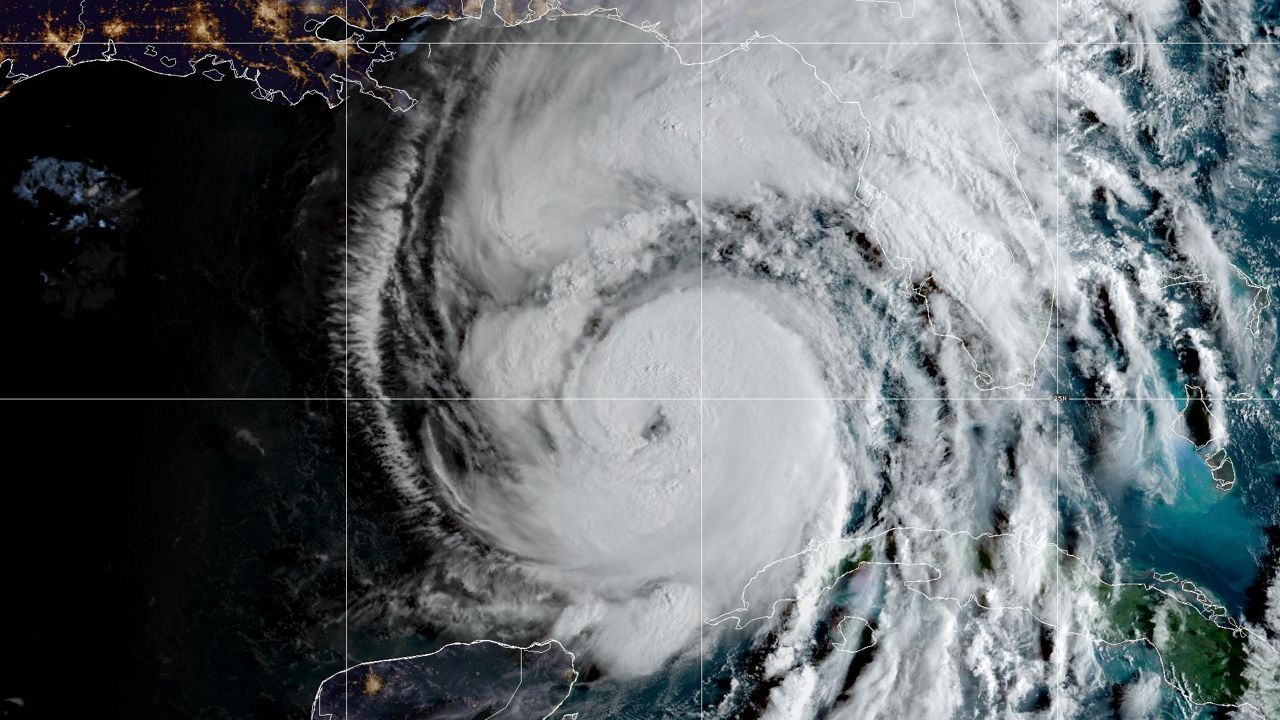
Wind is the movement of air, and in order to move air a force is required. That force is known as the pressure gradient force (PGF). Several factors contribute to the PGF, but air density is the biggest contributor and that is closely related to air temperature. Essentially, warm air is less dense than cold air. Therefore, warm air rises and cold air sinks. That means when warm air rises, cold air will often move in to replace it. This process will lead to wind flowing from regions of high pressure to regions of low pressure. The closer the regions are together the faster the air will flow.
Now, since we know wind flows from high (clock wise) to low pressure (counter clock wise) that allows us to predict wind direction based on the positions of these pressure regions. That means, certain wind directions will often lead to certain types of weather. This might not always be the case, but in general the following wind directions give you a "feel" for the days weather:
North: Dry, sunny, seasonably cool weather
Northeast: Cool, showers, cloudy
East: Cloudy, cool, rainy
Southeast: Humid, mostly cloudy, scattered showers
South: Warm, humid, isolated storms
Southwest: Hot, humid, stormy (severe weather possible)
West: Hot, dry, breezy
Northwest: Seasonable, dry, breezy
)