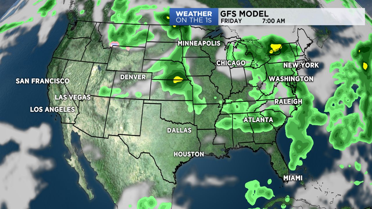
NORTH CAROLINA -- Since 2002, the main weather model run in the United States has been the GFS Model. GFS stands for Global Forecast System.
Like its European cousin, the EURO Model, the GFS looks many days into the future to predict upcoming weather events.
The newest version of the GFS Model was released on June 12.
The hope is, that the updates and improvements on the model will improve weather forecasting across the United States. Over the years, the American model has been trailing in accuracy to the European Weather Model.
Over the past year, meteorologist have been testing the new GFS by doing retrospective forecasting. Looking back at previous weather events and seeing how the new model handled those forecasts. In this testing, scientist used several hurricane and winter seasons to look at the forecast accuracy of the latest GFS model.
At this point, this version of the model looks to be more accurate at a five day forecast. It also looked to be better at forecasting the tracks and intensity of tropical systems. However, the models showed some negative issues with winter weather forecasting including a cold bias (showing atmospheric temperatures colder than they should be).
With the new version of the GFS now operational, meteorologist will continue to monitor its forecasts and make adjustments as needed.
And we will see how the model performs as we head deeper into the tropical season.


