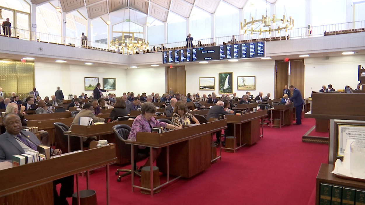

RALEIGH, N.C. -- A party-line vote on Thursday evening left a single legislative chamber between voters and a new district map.
- The new map splits fewer counties than the current one
- The map still needs Senate approval before it becomes law
- Analysts believe it would lead to an 8-5 Republican majority in NC's Congressional delegation rather than the current 10-3 majority
The N.C. House of Representatives green-lit a map that redraws the state's 13 Congressional districts. The new map would assign the 2nd District to the southern two-thirds of Wake County, including Raleigh, Cary, and Apex. The 12th District would consist of nearly all of Mecklenburg County, while much of Forsyth County, including Winston-Salem, would share the 6th District with Guilford County. Rep. David Lewis, R-Harnett County, who led the House's map-drawing effort, said the map in its current form splits 12 counties and 19 voter tabulation districts, fewer than the current map.
North Carolina's current Congressional district map, which lawmakers approved in 2016, faces a lawsuit that claims the Republican majority used partisan voting data and racial data to draw a map that heavily favored their party. A Wake County three-judge panel this fall struck down North Carolina's state legislative district maps on similar grounds.
If the Senate does not agree with the House's proposed map, the matter would have to go to a joint House-Senate conference committee, as with any other legislation. House Speaker Tim Moore has said Senate leaders will keep close tabs on the House's actions to minimize the chances of this happening.
Candidate filing for the 2020 elections runs from December 2 to December 20.