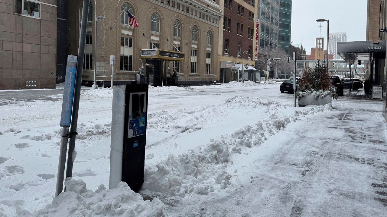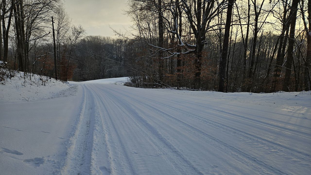
Friday night's wintry precipitation ended before sunrise Saturday for most of North Carolina.
The only areas expected to see snow showers during the day Saturday will be the higher elevations of western North Carolina.
Locations north of Raleigh to near Greensboro and the mountains mostly saw snow Friday and Friday night. Other areas near Charlotte to south of Raleigh ended up mostly with sleet and freezing rain.
As expected, many coastal areas mostly saw rain.
Here's a look at some of the snow and ice totals from around the state from Friday through early Saturday morning:
- Newfound Gap: 8.2" snow
- West Jefferson: 6.5" snow
- Little Switzerland: 3.5" snow
- Kernersville: 3" snow
- Greensboro: 2.3" snow
- Thomasville: 2.1" snow
- Henderson: 2" snow
- Durham: 1" of snow/sleet
- Raleigh-Durham International Airport: 0.7" snow/sleet and 0.1" of ice
- Gastonia: 0.25" ice
- Fayetteville: 0.11" ice
Temperatures will be above freezing most of Saturday afternoon with the exception of the mountains. Snow and ice outside the high country will melt through the afternoon with plenty of sun.
Temperatures will drop quickly tonight, though. This will lead to the melted snow and ice refreezing through the night. Icy road conditions will be possible, especially in parts of the Piedmont and western North Carolina.
Stay tuned to Weather on the 1s on Spectrum News 1 for updates.
Our team of meteorologists dives deep into the science of weather and breaks down timely weather data and information. To view more weather and climate stories, check out our weather blogs section.