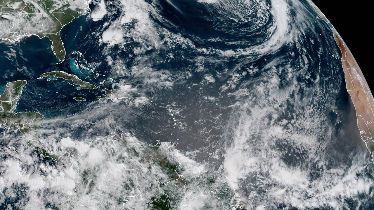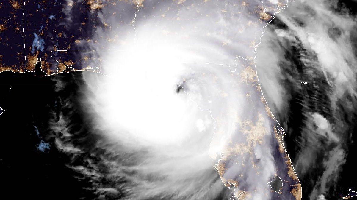
Helene weakened to a tropical storm Friday after making landfall in Florida as a Category 4 hurricane Thursday night. The storm hit the Carolinas with heavy rain and wind, spinning up tornadoes and leaving destruction in it's wake.
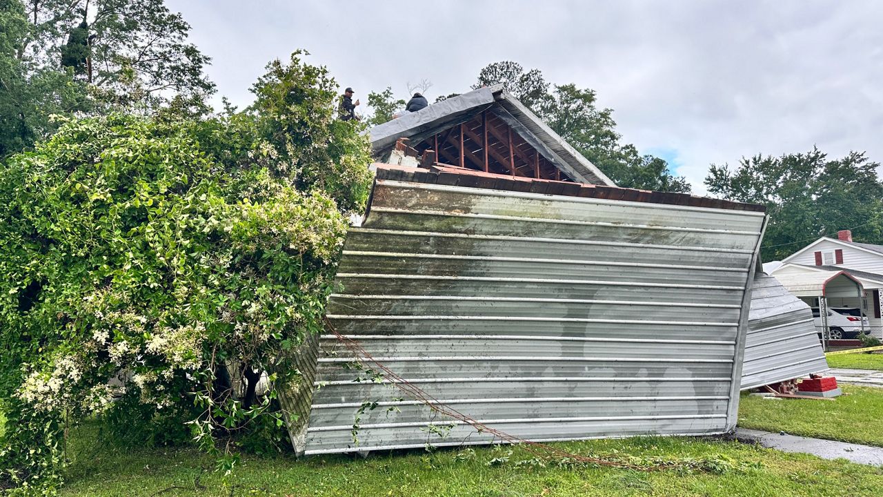
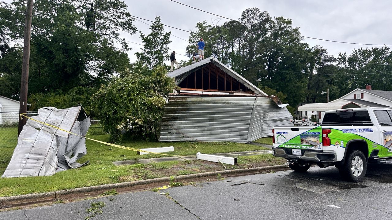
In North Carolina, the mountain region took a huge blow, with catastrophic floods forcing evacuations and killing dozens. The death toll continues to climb
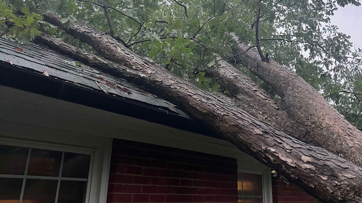
Many communities were cut off in the storm, with roads washed away by floods or blocked by downed trees and mudslides.
Related article: Helene could produce catastrophic flooding and tornadoes in North Carolina
See these moments from the storm:
Spectrum News 1 crews are gathering photos from across the state as recovery from Helene begins.