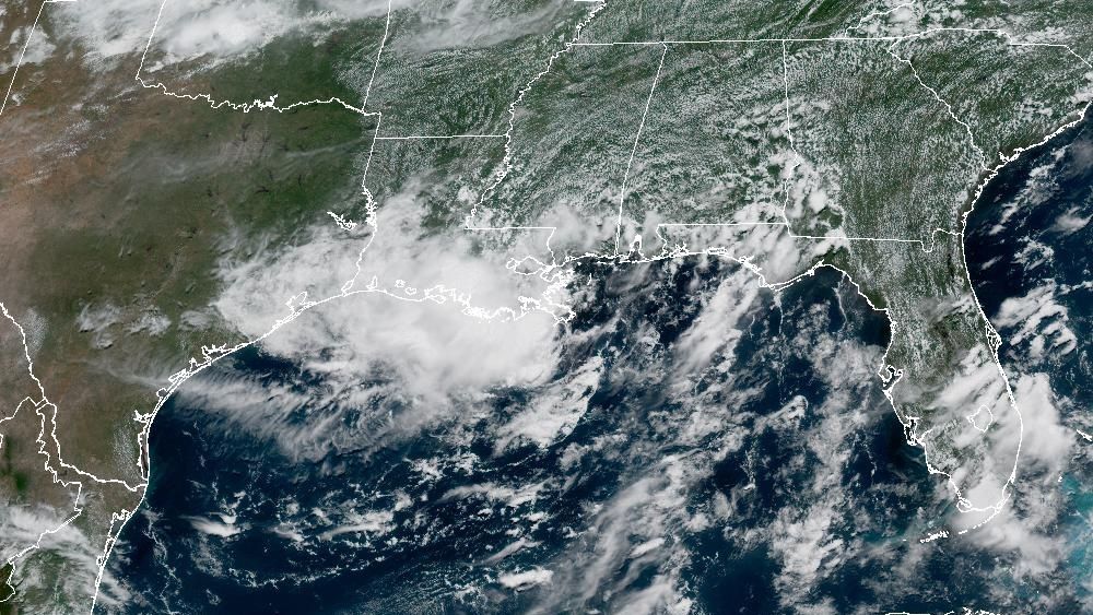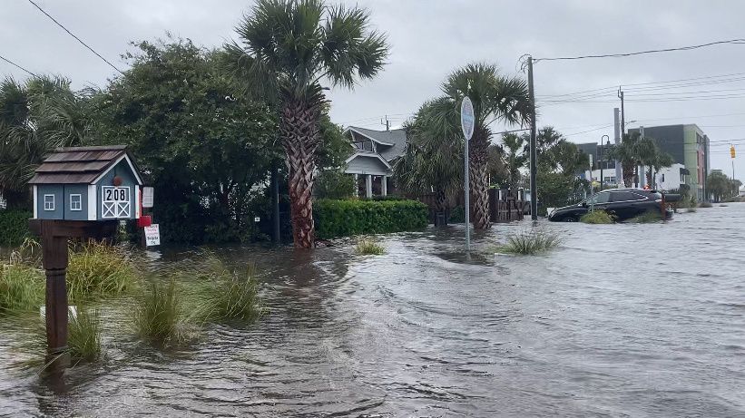
A storm system is bringing heavy rain to most of North Carolina Monday and into Tuesday, with high winds and possible tornadoes along the coast.
The system has the potential to become Tropical Storm Helene before it moves inland in the afternoon, according to Spectrum News 1 meteorologists.
Areas between Wilmington and Fayetteville will likely see the most rain, where three to seven inches are possible. The rest of North Carolina should see around one to three inches with higher totals possible in some areas. Wind gusts up to 45 mph are also possible near the southern coast and across southeastern North Carolina.
Some of the rain bands Monday afternoon and night in eastern North Carolina could spin up tornadoes, according to Spectrum News 1 meteorologists.
Coastal flooding will be possible at high tide, and rough surf is also likely through the day. Keep an eye on our beaches with a live look at these cameras along the North Carolina coast:
Wrightsville Beach
Whirligig Park in Wilson, N.C.
Sunset Beach
Ocean Isle Beach (Soundside)
Holden Beach
Northern Outer Banks
Offshore
Frying Pan Shoals