WILMINGTON, N.C. — Research is happening at the University of North Carolina-Wilmington that could transform the response to coastal flooding issues.
The assistant professor of coastal engineering at UNCW has been awarding nearly $1 million to study the "swash zone" on beaches. The swash zone is known as the area along the shoreline where breaking waves rush in and out. It's an area where important sand movement occurs, which shapes the nation’s coastlines over time.
The research could revolutionize existing models, proving more accurate data that can aid communities in adapting to and mitigating the impacts of coastal changes.
UNCW says to better understand how this sand is transported, the U.S. Coastal Research Program, via the U.S. Army Corps of Engineers, is funding a research project led by UNCW's Ryan Mieras.
The $999,186 grant includes the University of Delaware and University of Texas at Austin.
“Even more percentage than 50% of sand that moves along the beach is transported within this region,” Mieras said.
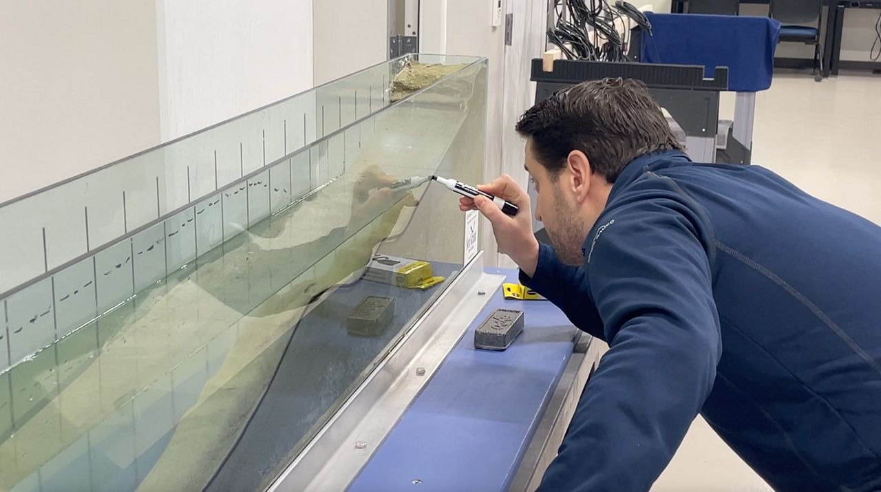
A lot goes into making devices that can measure sand movement, including 3D printed pieces, which Mieras works on.
“What we're doing is we're building these sensors that can measure essentially how much sand is moving at a single location at the beach, in the swash,” Mieras said.
Originally, Mieras wanted to design ships and boats. But he found that it was too repetitive for him. He realized beaches change every day and became mesmerized by the sediment transport and mechanics.
“There's a famous quote that is attributed to Albert Einstein that he was actually speaking to his son and his son chose to study sand and transport, actually, and he said, 'So why don't you study something easy like physics?' So sediment transport is sort of classically really complicated and complex,” Mieras said.
Through his research, Mieras is trying to find tools to help answer many questions people have about our coastlines.
“How is this beach going to respond if, let's say, for example, I don't need to worry about the dunes being eroded away and then storm surge inundating my area after the dunes have been eroded away. And moving forward and backwards and forwards and backwards, but sometimes it moves a little bit more forward, then it goes,” Mieras said.
Mieras' efforts anticipate outcomes that will contribute to improved weather predictions and beachfront property management.
“We can then better predict or understand longer term how a barrier island or beach nourishment or just a local beach might respond to changing wave conditions or changes in sea level, or respond to increasing intensity of storms that strike our,” Mieras said.

_Cropped)