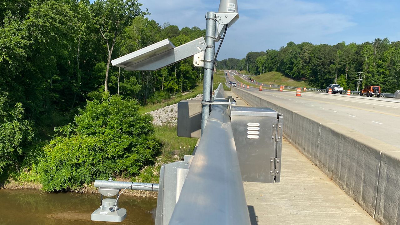
NORTH CAROLINA — The North Carolina Department of Transportation has new tools at its disposal to help analyze, map and communicate real-time flood risk to roads, bridges and culverts across the state.
The network of 400 river and stream gauges will, for the first time, allow NCDOT to gather critical information to better inform and coordinate with local emergency management officials and the public.
“This state-of-the-art warning system our department has created will help us be better prepared for the next major storm,” Transportation Secretary Eric Boyette said in a release.“This state-of-the-art warning system our department has created will help us be better prepared for the next major storm,” Transportation Secretary Eric Boyette said in a release. “Even though we’ve had some quiet hurricane seasons recently, we cannot let our guard down.”
You can learn more about the new system and the technology behind it here.
Officials say the new early flood-warning system comes at a good time as researchers at N.C. State University and the National Hurricane Center are predicting an above-average hurricane season for 2022.
Hurricane season officially starts June 1.
The new system is the product of a $2 million grant given by the N.C. Legislature following the devastating impacts of Hurricane Florence in 2018, according to NCDOT, and taps into existing gauges operated by other agencies, including N.C. Emergency Management and the U.S. Geological Survey.
While NCDOT says it has been preparing for the upcoming hurricane season through procedure reviews and exercises both internally and with partner agencies, officials say the public should also begin preparations. This includes gathering supplies for possible extended power outages, restricted travel or need to be at a shelter.
For more information on how you can prepare for this year’s storms, click here.
Justin Pryor - Digital Media Producer
Justin is a Charlotte-based digital media producer. He is a South Carolina native who worked in similar roles at a Charlotte TV station before joining Spectrum News 1 in 2019. Justin is a graduate of the University of South Carolina.


