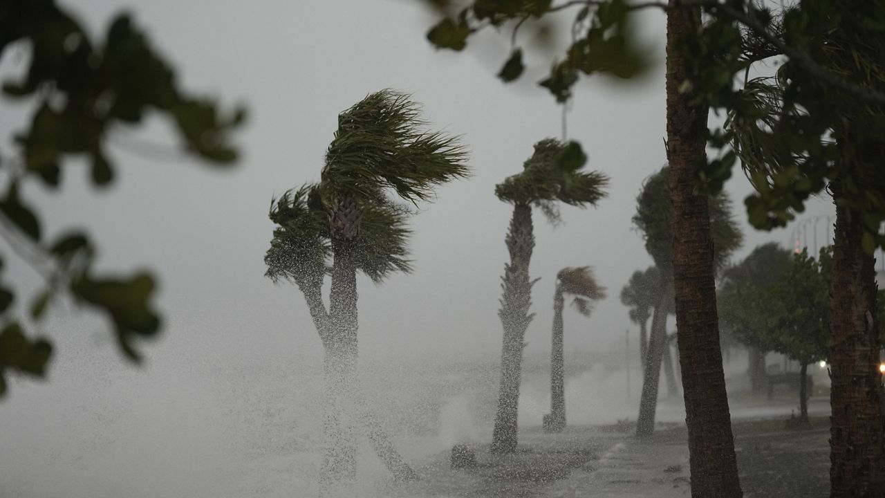
While we enjoy highs in the low 80s Thursday and Friday, everyone should keep a close eye on Friday's forecast. The Storm Prediction Center has already placed the Triangle, Sandhills, and eastern North Carolina under an enhanced risk for severe storms Friday.
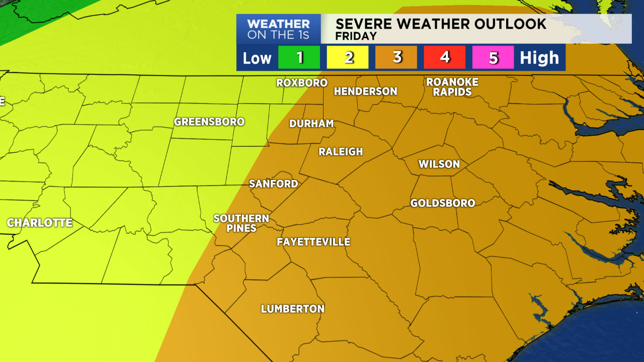
The Storm Prediction Center uses a five level scale ranging from low (level 1) to high (level 5). An enhanced risk is level 3 on that scale and means that numerous severe storms are possible.
The storm system that will impact the Carolinas on Good Friday is developing over the central United States Wednesday. Severe storms are forecast to break out across Texas Wednesday night and move east across Louisiana eventually into Mississippi by Thursday afternoon.
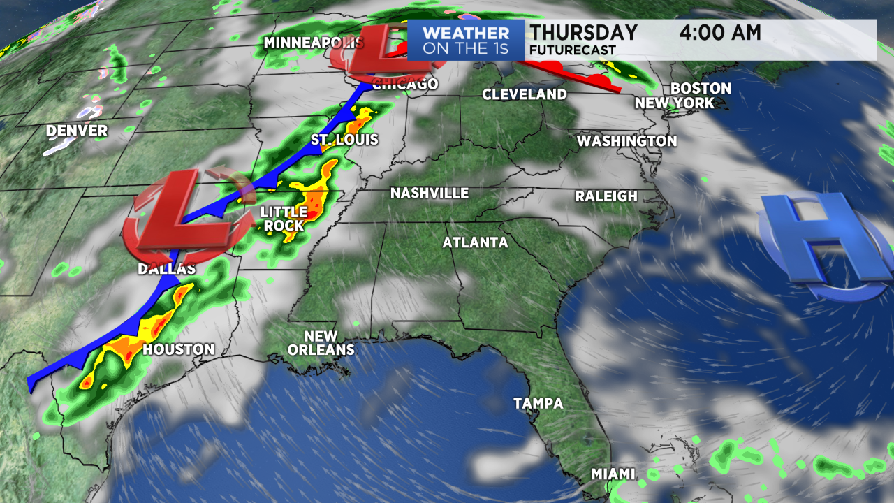
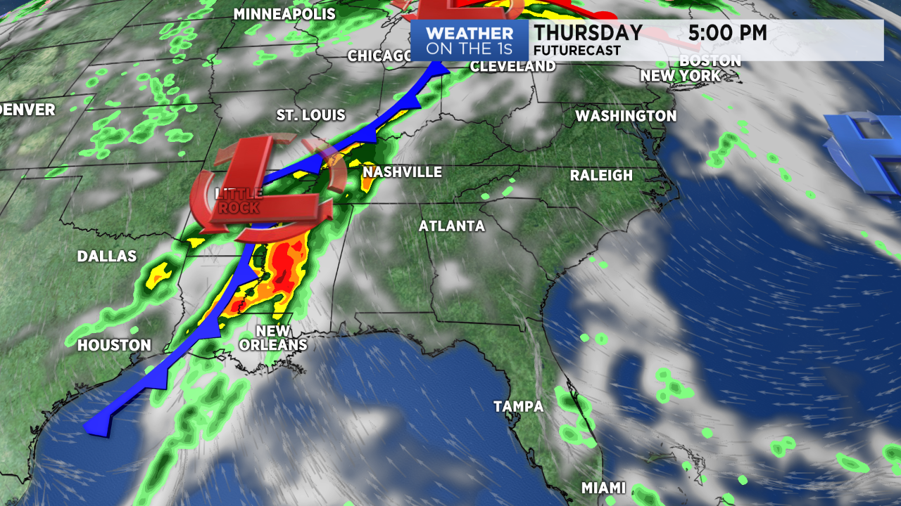
The storms should arrive in western North Carolina early Friday morning possibly before sunrise. A period of off and on rain and storms is then expected anytime between 10am and 10pm Friday in the Triangle and Sandhills. The heaviest rain and strongest storms would likely come during the afternoon.
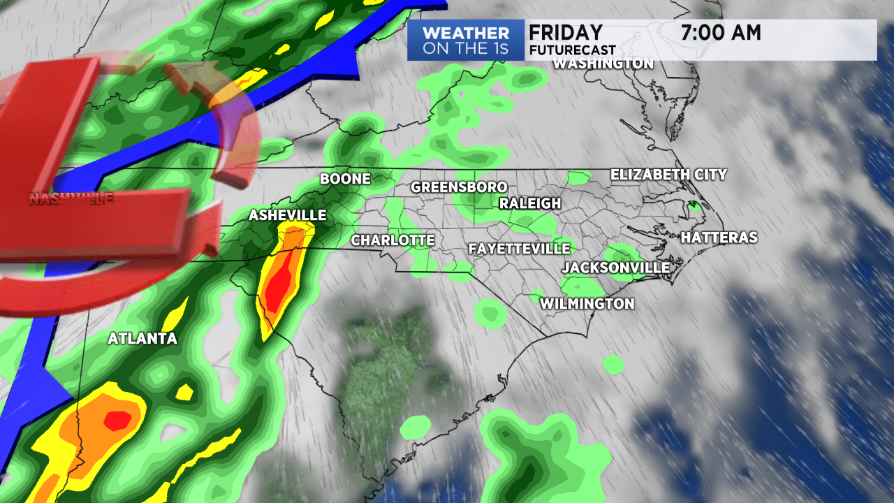
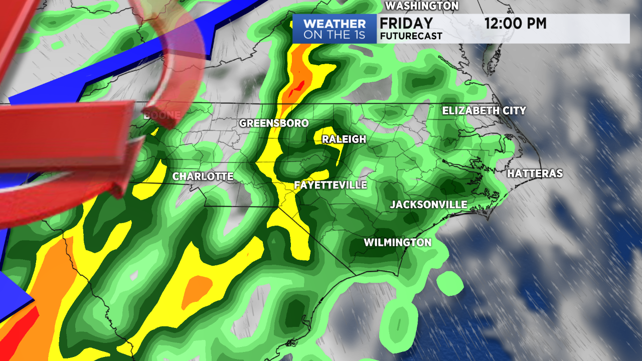
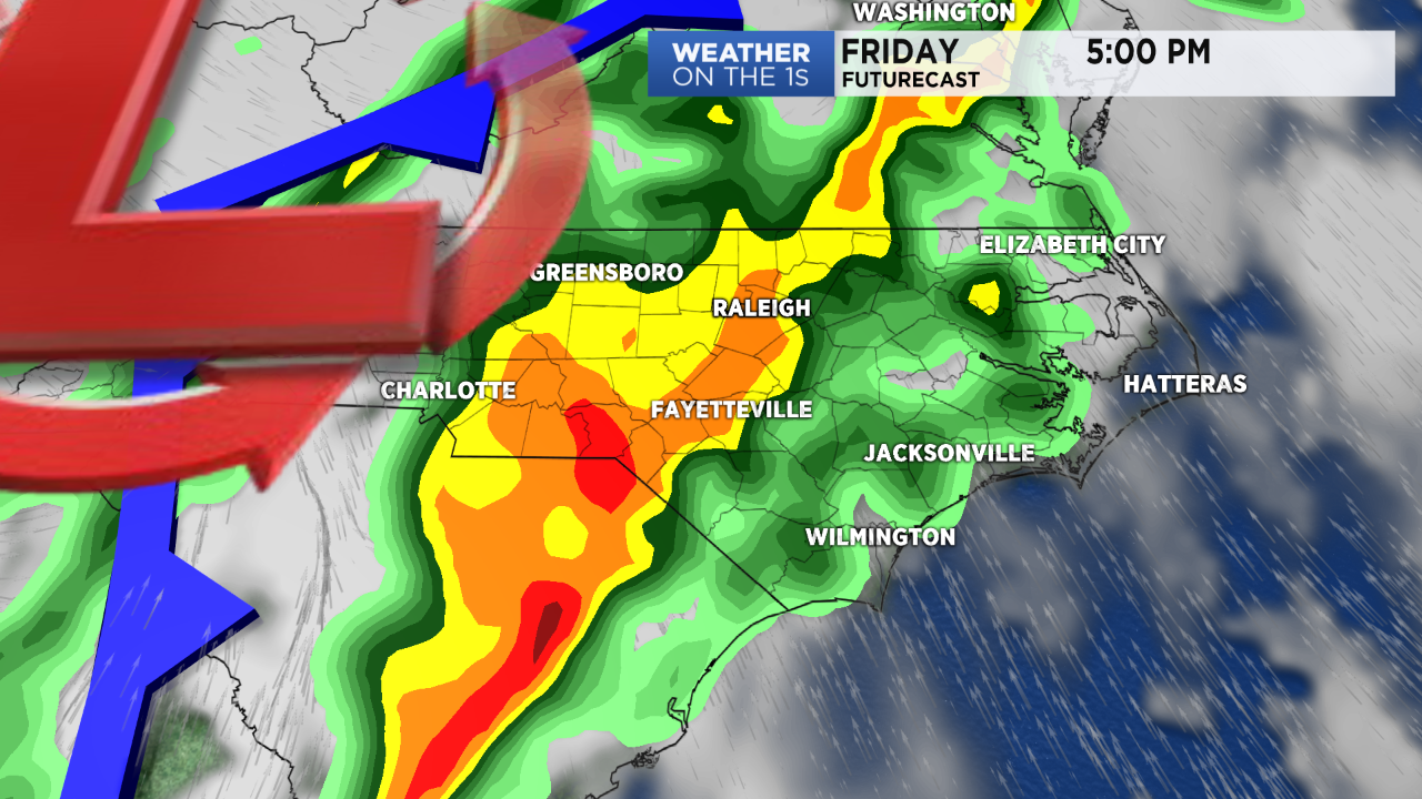
Most of central North Carolina should see at least one to two inches of rain Friday. Some of the stronger storms could produce isolated higher amounts resulting in localized flash flooding.
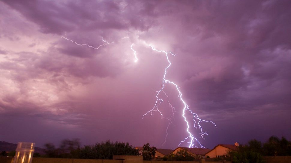
Friday's storms will also be capable of producing damaging straight line wind gusts and tornadoes.
- Sign up for text and e-mail weather alerts
- Interactive radar
- One Simple Way to Be Prepared for Severe Weather
Since Friday is still a couple of days away, some parts of the forecast could change including the timing of the storms. Everyone should continue to monitor the forecast closely and have a plan in case severe storms develop over your location Friday.
The Weather on the 1s team will be monitoring the latest weather data through the end of week. Stay tuned to Spectrum News for updates.
Follow Meteorologist Lee Ringer on Facebook and Twitter for weather updates on social media.


