WILMINGTON, N.C. -- A cold front is working through the Carolinas today. In response to the arrival of that front, a warmer airmass is getting drawn into our area on southwesterly winds. Highs in many areas will push well into the 70s, and a few places could hit 80.
- A few showers and storms remain possible today, and our best chance of some scattered showers and storms will likely be this evening
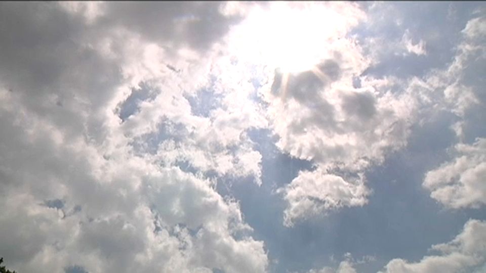
- Look for a partly cloudy Monday sky with highs again mild
- We will have plenty of sunshine Tuesday and Wednesday with highs remaining near to a touch above average
A few showers and storms remain possible today, and our best chance of some scattered showers and storms will likely be this evening. A couple of storms could produce some gusty winds, but the overall severe weather threat is not terribly significant.
Look for a partly cloudy Monday sky with highs again mild.....lower 70s for much of the area with some 60s in the Outer Banks.
We will have plenty of sunshine Tuesday and Wednesday with highs remaining near to a touch above average.
Our next storm system then approaches Friday. I expect some showers to be possible later Friday, lingering into Saturday.
At this point, it appears that system will be out of the way in time for a primarily dry Sunday.