


WILMINGTON, N.C. -- A strong cold front will move through the coastal zones of North Carolina Wednesday, allowing for one more day of humidity and scattered storms. The rest of the work week will bring a hint of fall to the area as cooler, drier air moves in behind the front.
- Cooler, drier weather is set to move in behind a strong cold front.
- Showers ands torms possible in afternoon and evening.
- Lowws may drop to the mid-60s for many inland locations later in the week.
Expect more of the same today as humidity and temperatures ramp up ahead of an approaching cold front. With this front expected to move in sometime late Wednesday, showers and storms will fire up along it by the afternoon and evening -- some of which could be strong to severe. Highs will be back into the upper 80s and low 90s with dewpoints in the 70s.
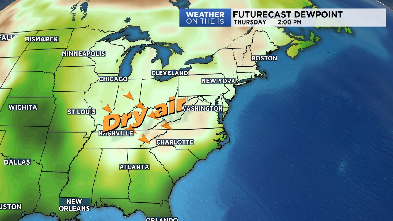
The front will clear the area by Thursday morning, and in comes the drier, cooler air! Skies will clear by mid-morning Thursday as winds turn back to the northwest, allowing for abundant sunshine to end out the day with lower humidity. Highs will be below average for the following few days, with temperatures topping off in the low to mid 80s. Nights will be cooler as well, with lows expected to drop into the mid 60s for many across the inland locations.
Soak in the early-Autumn like conditions while they last! Summer makes a comeback late in the weekend and into early next week.