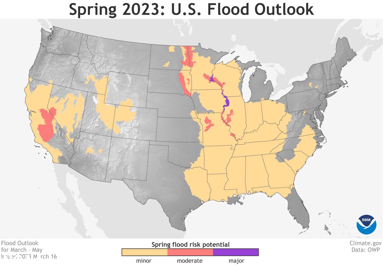
ST. LOUIS–The spring could bring moderate to major flooding along the Mississippi River stretching from Minneapolis to St. Louis, that’s according to the National Oceanic and Atmospheric Administration’s (NOAA) Spring Outlook.
The report says there is a risk for most of the eastern half of the continental United States with elevated flood risks along the Mississippi River from heavy snowpack in the upper Midwest.
The only areas forecasters believe could see major flood risks are along the Mississippi River in parts of Minnesota, southern Wisconsin, Iowa and northern Illinois.
"Approximately 44% of the U.S. is at risk for flooding this spring,” said Ed Clark, director of NOAA’s National Water Center. “California’s historic snowpack, coupled with spring rain, is heightening the potential for spring floods.”
The winter precipitation wiped out the extreme drought in California for the first time since 2020, according to NOAA. However, experts caution the relief may be temporary as the long-term effects persist from what has been a stubborn dry-streak.
Federal forecasters outlined other predictions for temperature, precipitation and drought over the next three months, saying the spring wet season is expected to improve drought conditions across parts of the northern and central Plains and Florida could see dryness disappear there by the end of June.
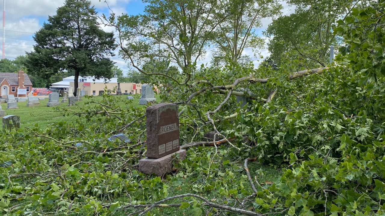
Missouri and Illinois aren’t predicted to have drought concerns, which comes after last summer’s severe drought conditions in Missouri. Last fall also saw very low river levels along the Mississippi River, affecting barge traffic, exposing sunken ships and allowing people to touch rock formations usually inaccessible by foot.