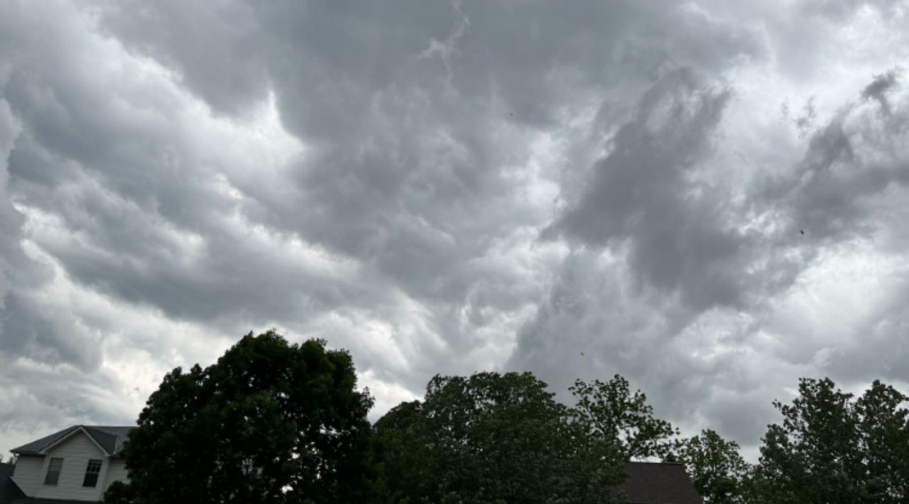
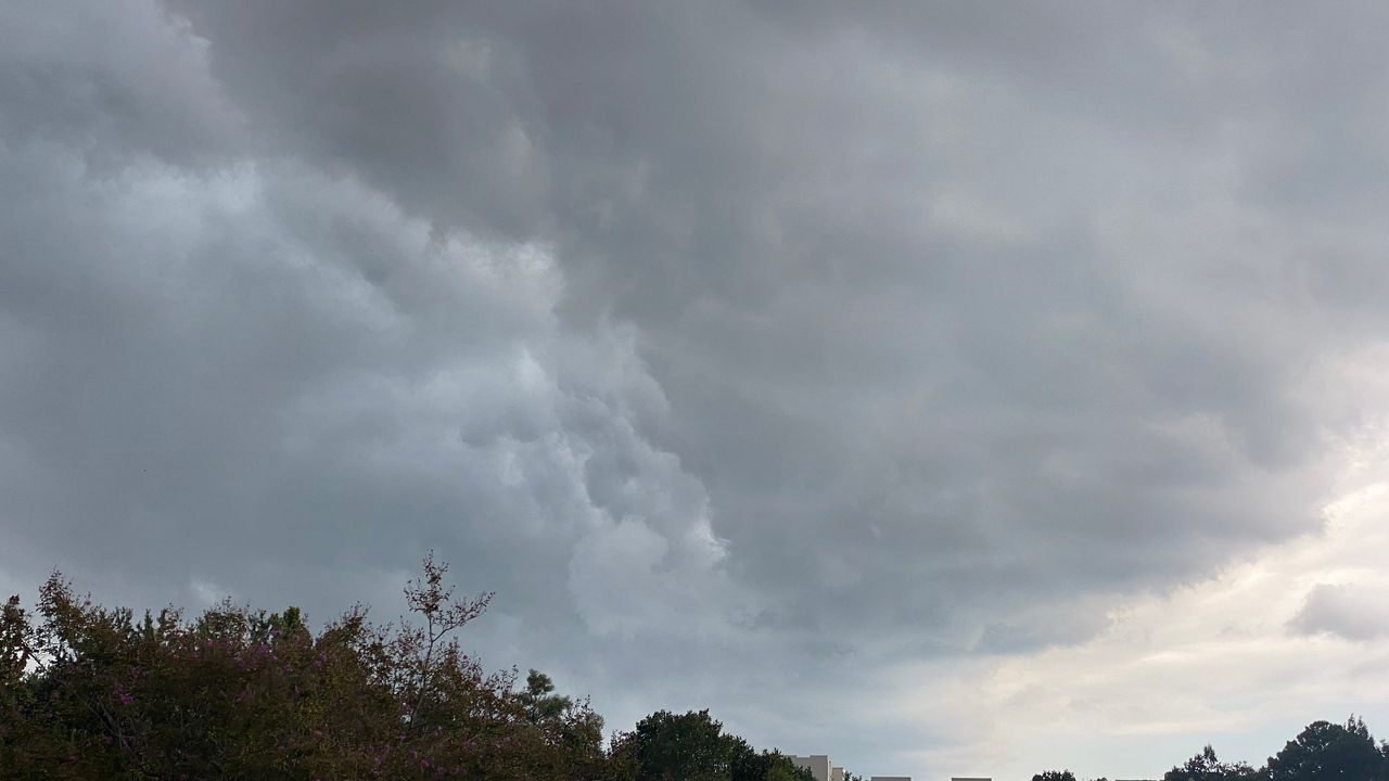
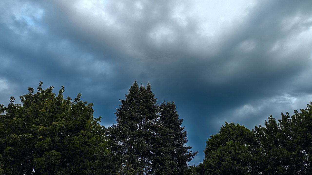
When you think of Maine weather, you think of cold weather and nor'easters. Many nor'easters have blanketed the state, including the April 2007 storm that just missed this list.
But Maine is no stranger to a variety of high-impact weather events and natural disasters, despite being located geographically far north.
What You Need To Know
- Maine experiences frequent natural disasters
- Despite a high latitude, the state sees wildfires, ice storms, flooding and hurricanes
- The top natural disaster is not related to snow, ice or extreme cold
Since Maine became a state in 1820, many natural disasters have plagued the Pine Tree State. We have seen hurricanes, wildfires, floods, heatwaves, droughts, ice storms, arctic blasts, blizzards and tornadoes. You name it, it's happened.
Let’s look back in recorded history at some of the biggest natural disasters that have impacted the state.
Hurricanes don’t happen often in Maine, but when they do, they can bring devastating effects.
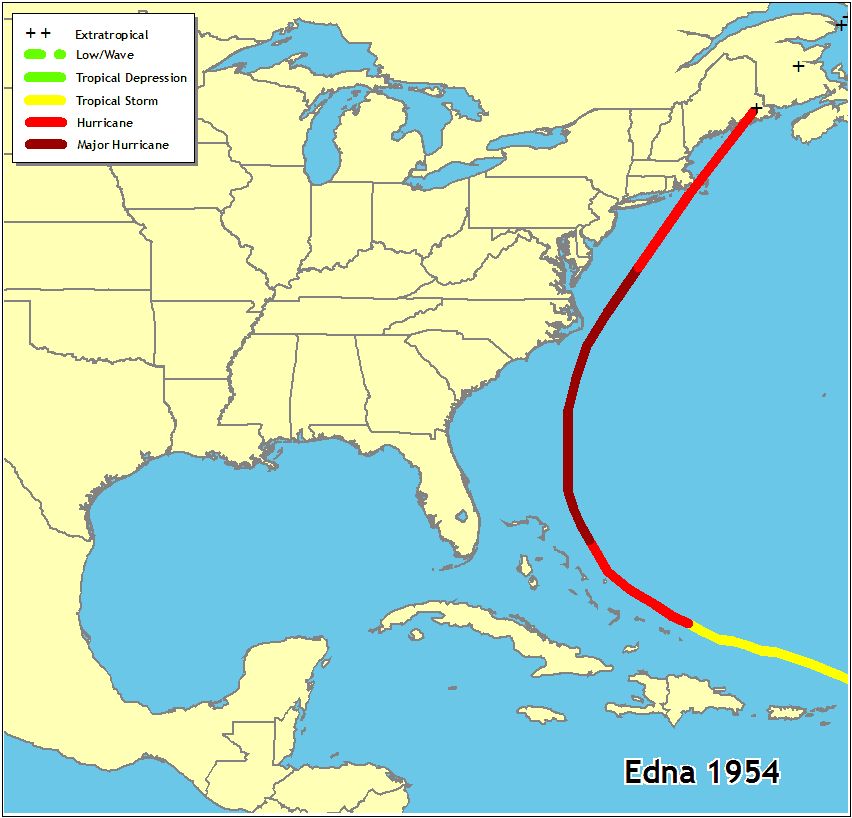
A handful of hurricanes have traveled through the state, but the most memorable hurricanes slammed the state in 1954.
Both Carol and Edna struck the state in back-to-back months, August and September. The two storms, only 12 days apart, caused 11 deaths and 17 million dollars in damage.
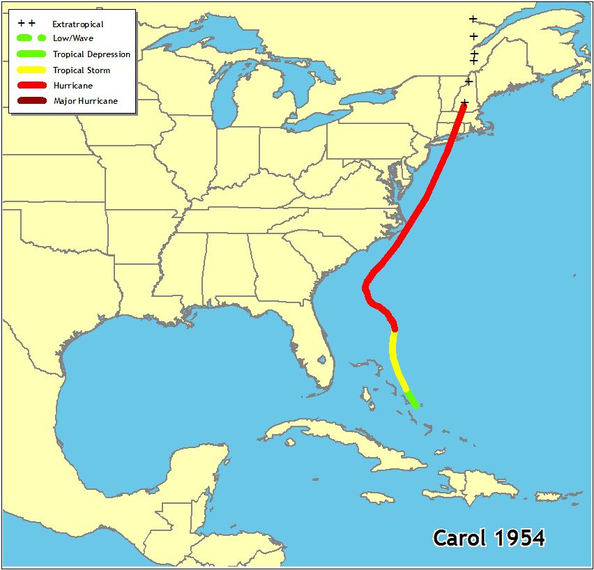
The parts of the state that saw the greatest effects were coastal and southern Maine, but the entire state saw heavy rain and flooding with Edna.
Heavy snow is common in Maine. What’s not common is inches of ice.
A deadly and costly ice storm glazed the state in January 1998. As much as 3 inches of ice glazed parts of the state from January 6 to January 8.
The heavy ice snapped trees and downed power lines. Over half a million people lost power, which is more than half of the population.
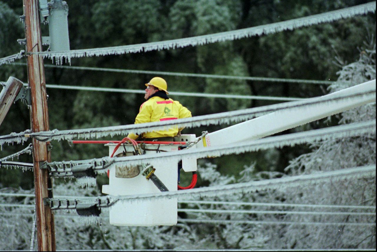
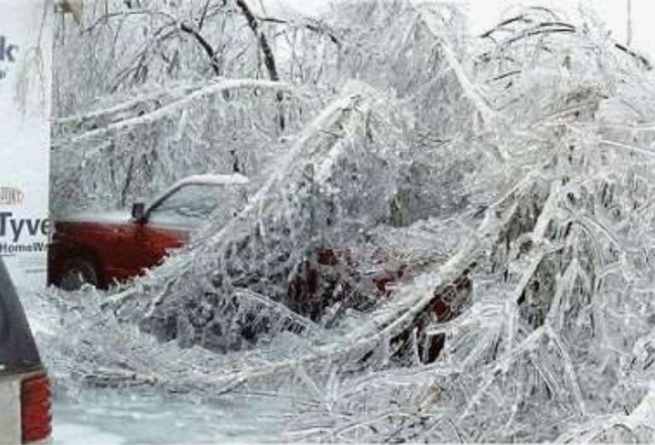
The storm claimed the lives of at least four people and cost the state 320 million dollars.
After a relatively mild winter in 2014-2015, February roared in like a lion, slamming Maine with an intense Arctic air mass.

Temperatures were 9 to 15 degrees below average for February 2015, making it one of the coldest months on record in Maine.
Portland, Maine experienced temperatures 11.7 degrees below average for February.
Caribou, Maine was 11.3 degrees below average and observed its all-time coldest February on record.
Bangor, Maine set an all-time coldest February record of 6.1 degrees, shattering the previous record of 11.3 (1993).
Portland, Maine observed its coldest February on record and the second coldest month of all time.
The cold was so extreme; it led to ice buildup on waterways, leading to commerce difficulties.
An abnormally cold and snowy winter set the stage for the spring floods of 1936. Prolonged periods of heavy rain fell from March 11 through March 13.
The nearby mountains enhanced the rainfall amounts, causing orographic lift. Orographic lift occurs when air moves up the side of a mountain, creating large amounts of rain or snow.
Over 5 inches of rain fell with this event. The heavy rain, paired with melting snow, resulted in extensive flooding. Another complication was ice jams in the rivers worsening the flooding.
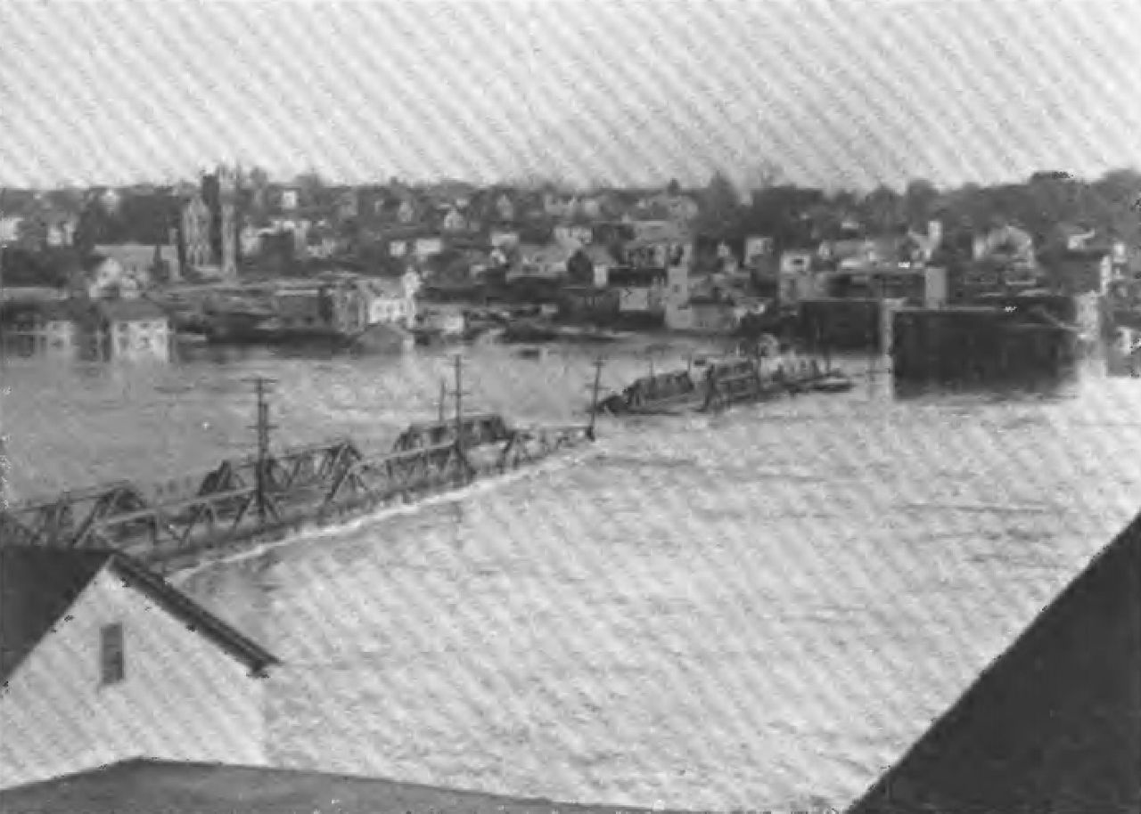
This event was a one-two punch with a second wave of heavy rain moving into the region on March 18 and 19. Several more inches of rain fell across the state, causing even more severe flooding.
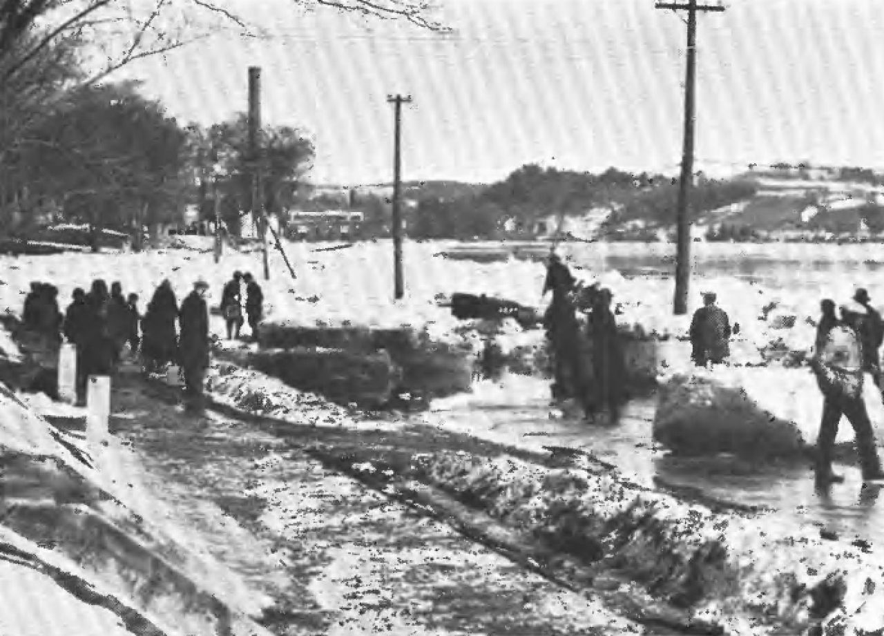
Between 150 and 200 lives were lost in New England because of the flooding.
The top natural disaster to impact the state was the expansive wildfires that charred Maine in the 1800s.
The summer of 1825 was very dry, which helped set the stage for the fire to grow explosively when it ignited on October 7. The fire started in the township of Guilford and burned outward in every direction.
Most of the fire occurred in the Piscataquis River Valley. The fire burned 832,000 acres, amounting to 1,300 square miles. This is almost the size of Rhode Island.
There are no known deaths from the fires. The 1825 wildfire is the largest east of the Mississippi River.


-1)
