

New England will feel one more day of record heat on Thursday, along with the potential for some strong to severe thunderstorms during the afternoon and evening.
Heat Advisories and Excessive Heat Warnings are in effect across parts of the Northeast and New England again through Thursday evening. Record heat is possible again with highs in the mid-to-upper 90s.
Factoring in the humidity, heat index values should easily climb above 100 degrees this afternoon.
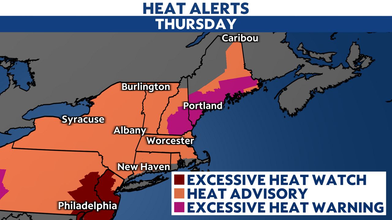
Worcester is forecast to top out at 96 degrees on Thursday, which would tie the old record of 93 degrees set in 1953.
In Maine, both Portland and Bangor will climb into the mid-90s and potentially setting record highs. Portland's record high today of 96 degrees was set in 1926.
Southern New Hampshire will once again top out in the upper 90s near 100 degrees in some places.
Here are some helpful tips on how to beat the heat:
- Stay hydrated and drink plenty of water
- Wear loose, lightweight, light-colored clothing
- Take frequent breaks and seek shade if you work outside
- Limit time outdoors if possible
- Spend time in cooler, air-conditioned places
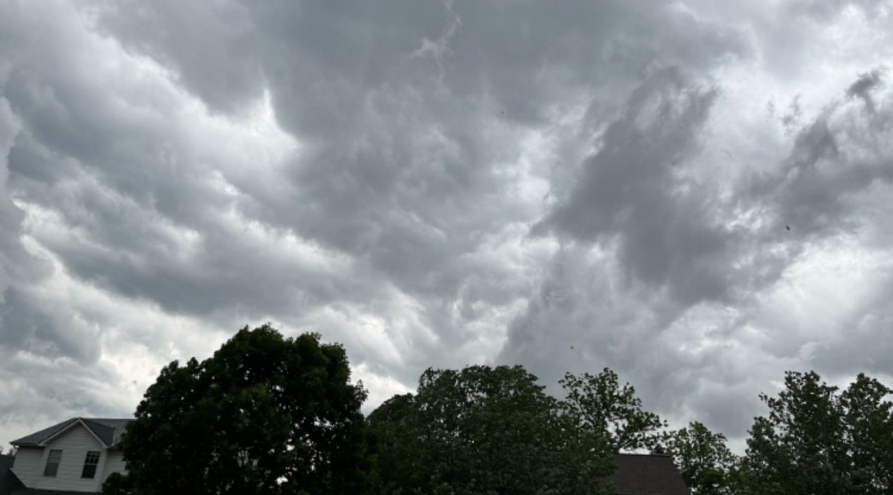
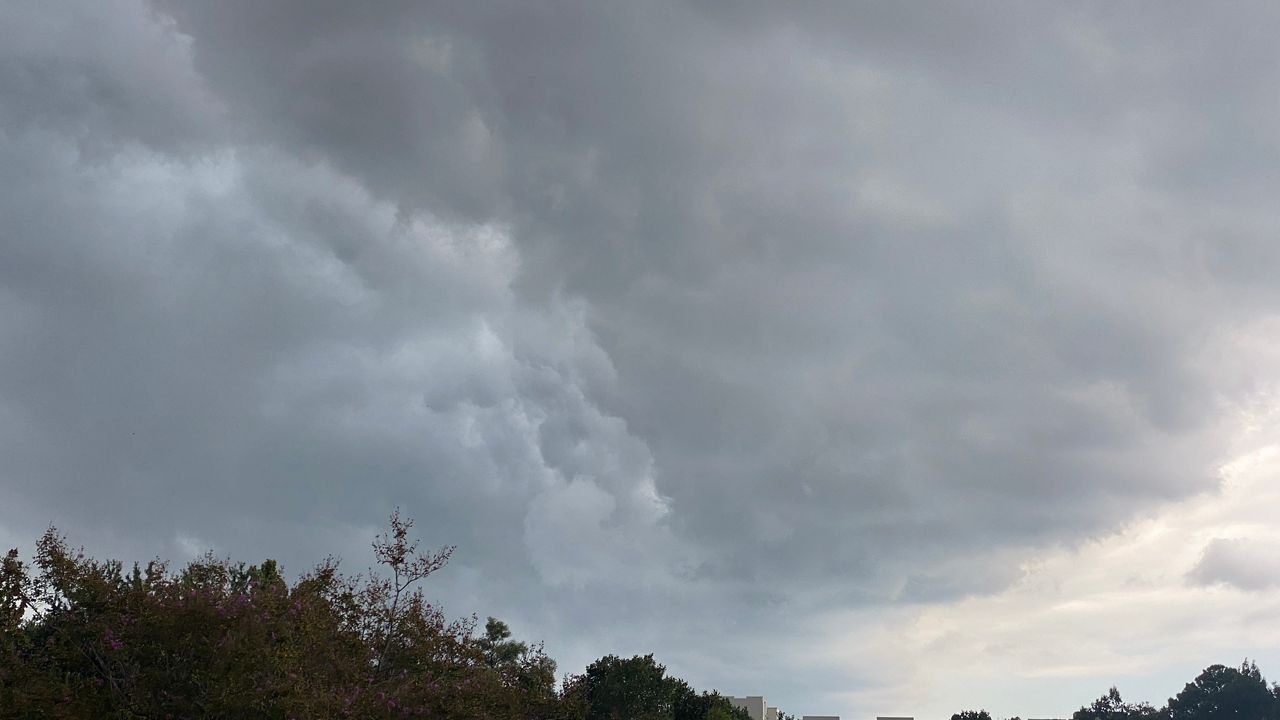
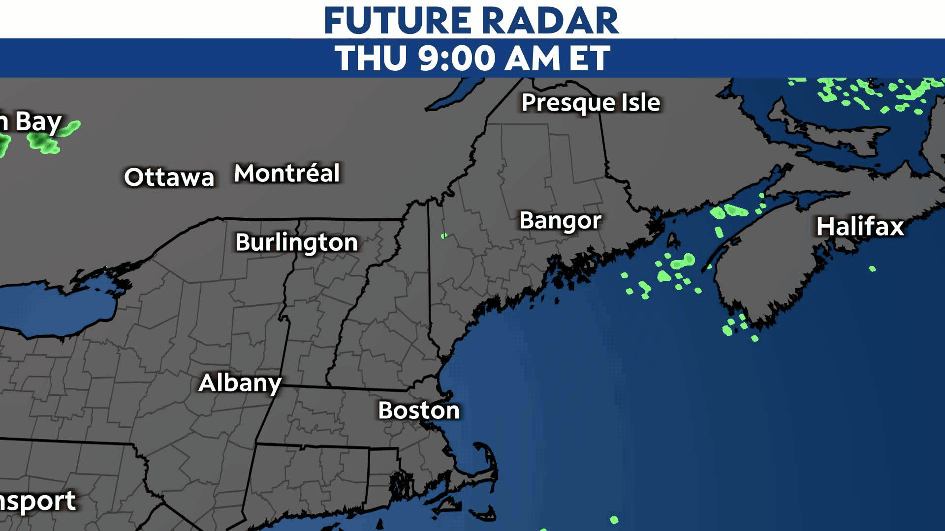
Along with the excessive heat and humidity, strong to severe storms are also possible Thursday afternoon and evening. A Severe Thunderstorm Watch is in effect across New England until 8 p.m. Thursday.
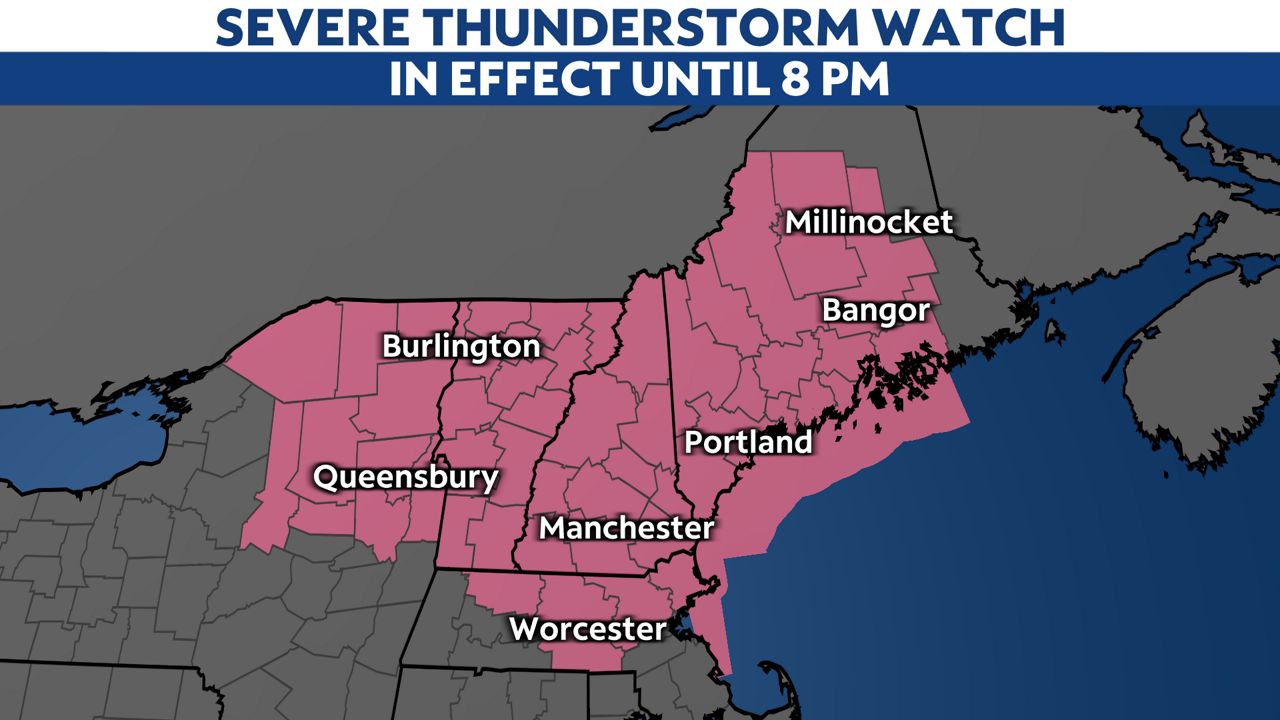
A level 2/5 threat for severe weather has been issued.
Storms could contain heavy rainfall with damaging wind gusts and large hail.
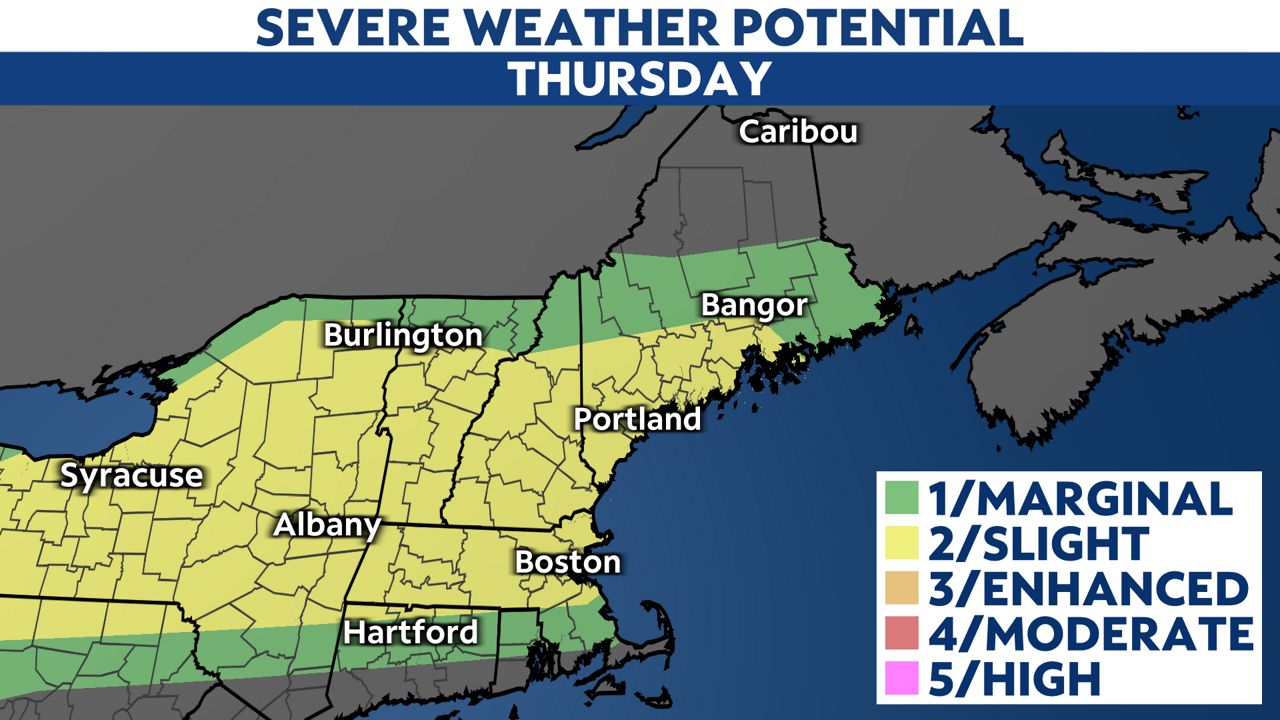
The best chance for storms will be this afternoon as they move in from the west.
It begins to turn cooler on Friday. The weekend forecast will be unsettled with cooler and cloudier weather, along with daily shower chances.
You can get the latest forecast updated and heat alerts sent to your phone by downloading the Spectrum News App and turning on notifications.
Our team of meteorologists dives deep into the science of weather and breaks down timely weather data and information. To view more weather and climate stories, check out our weather blogs section.