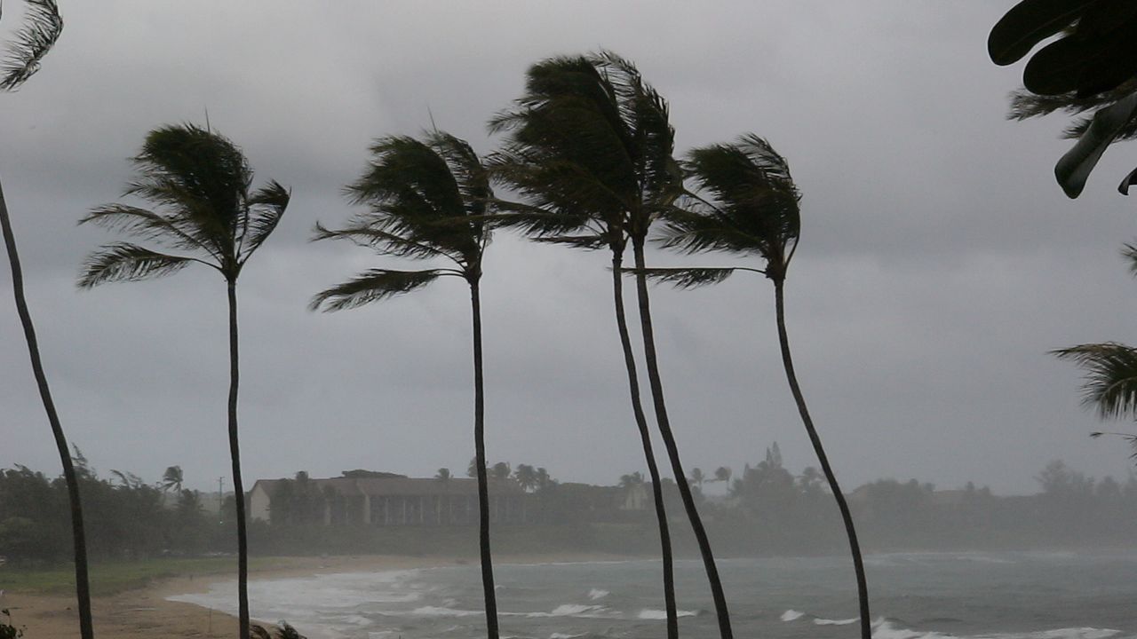


A powerful winter storm system is bringing heavy rain and strong storms to the Big Island Friday as the cold front pushes east across the state. Conditions will continue to rapidly improve from west to east as the system clears out through Friday afternoon and evening.
A low pressure system is dragging a cold front east across the islands as conditions improve for the western end of the state.
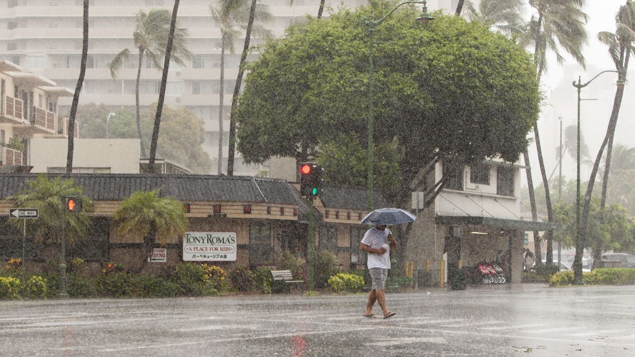
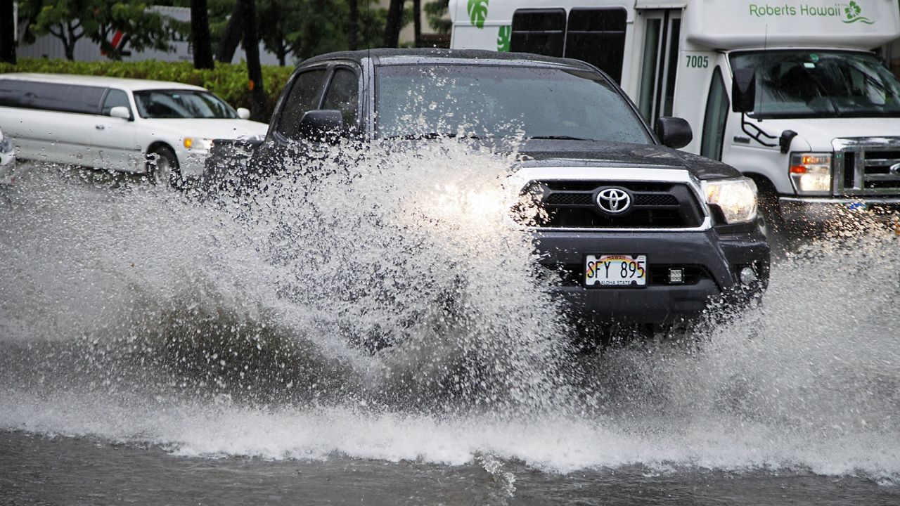
This storm system brings potential for heavy rainfall capable of producing flash flooding, damaging gradient and downslope winds and severe storms. The highest impact will be for the Big Island Friday.
High winds and flooding are still possible on the Big Island. Flood Watches and Warnings are in effect.
Flood prone roads and other low-lying areas could be closed because of elevated runoff and overflowing streams. Flash flooding is possible, so be careful driving and avoid flooded roads.

Honolulu set a daily rainfall record on Thursday with 3.57 inches. The old record was set in 1975. Here is a look at the current radar.

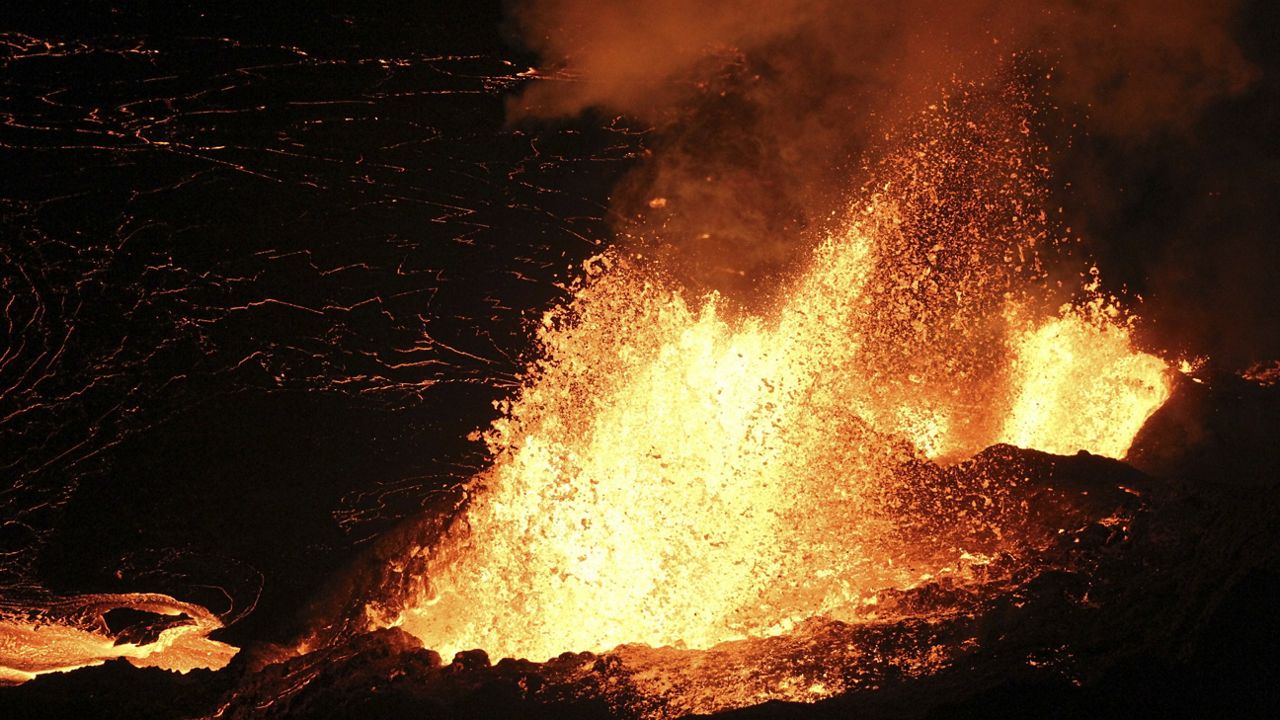
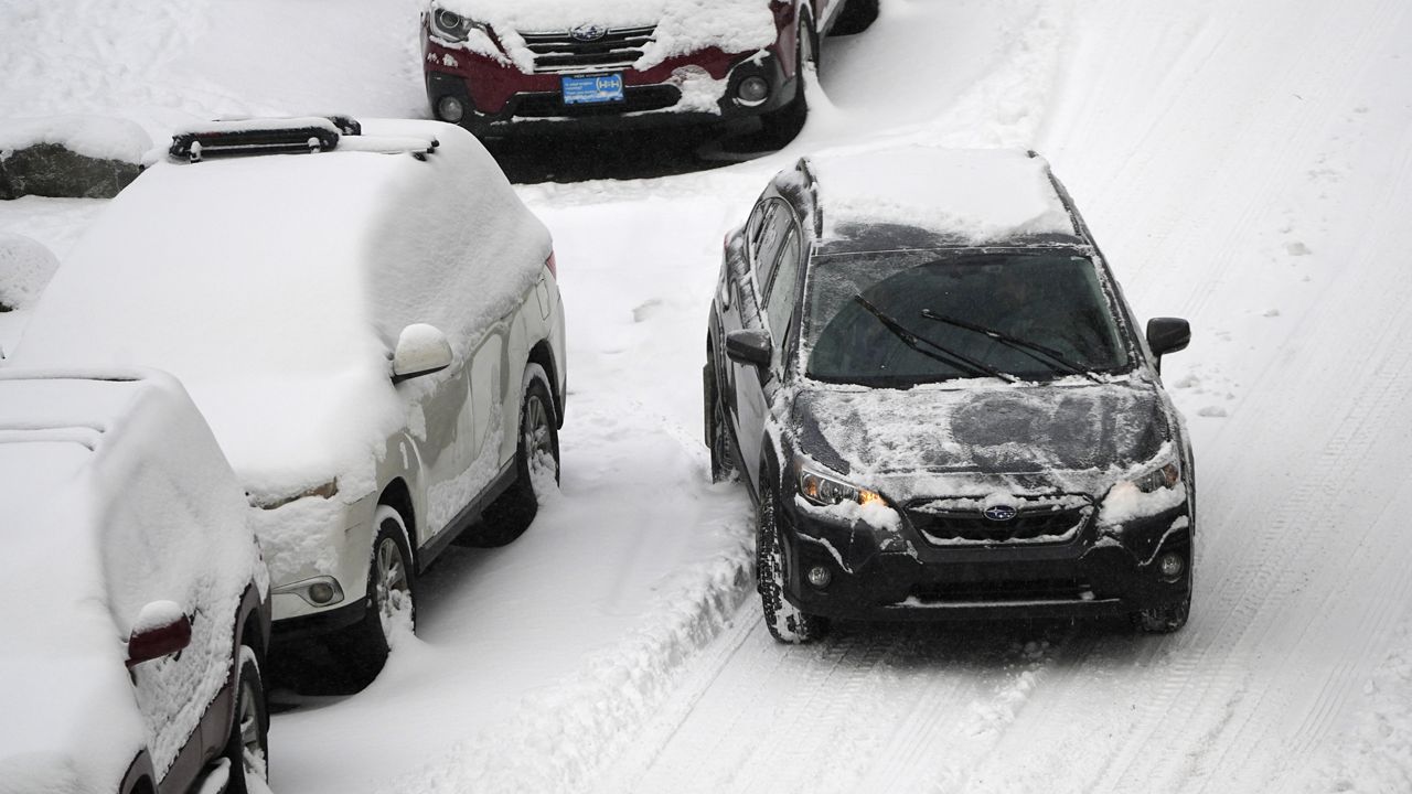
Big Island Summits remain under a Winter Storm Warning. In the highest elevations, periods of heavy snow and ice accumulation is expected. Snowfall totals up to 12 to 24 inches is possible, along with a light glaze of ice on wet surfaces.
Wind gusts as high as 85 mph will lead to blowing snow

We'll continue to monitor the forecast and bring you the latest updates on the Spectrum News App.
Our team of meteorologists dives deep into the science of weather and breaks down timely weather data and information. To view more weather and climate stories, check out our weather blogs section.