


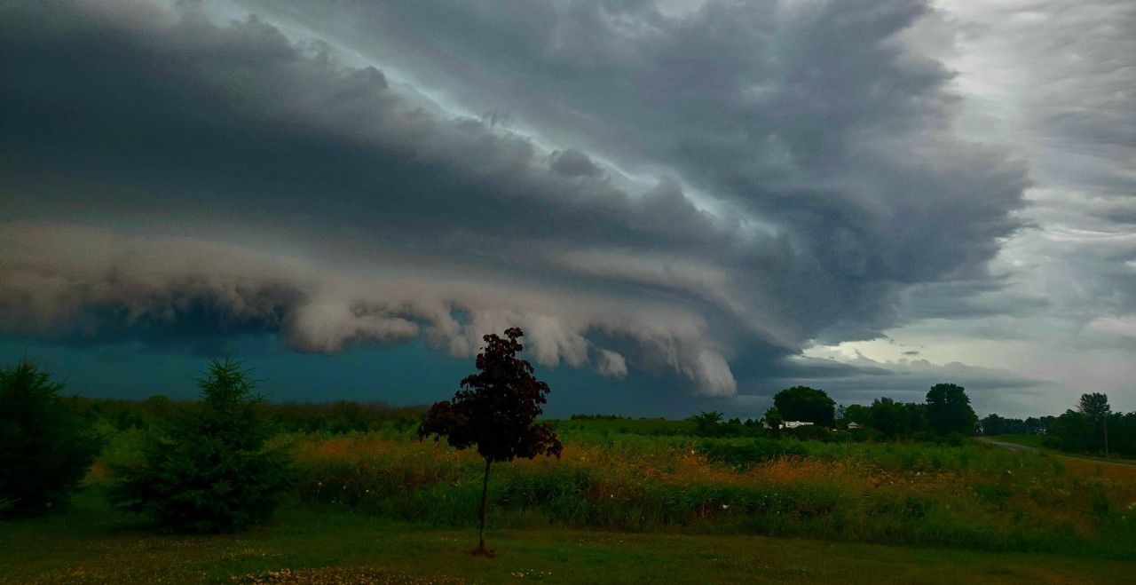
Strong to severe storms capable of producing large hail, damaging winds and heavy rainfall press into North Texas and parts of Central Texas today.
Along with severe storms, torrential rains will likely cause flooding, as many creeks, streams and drainage areas have yet to fully recover from this active storm season.
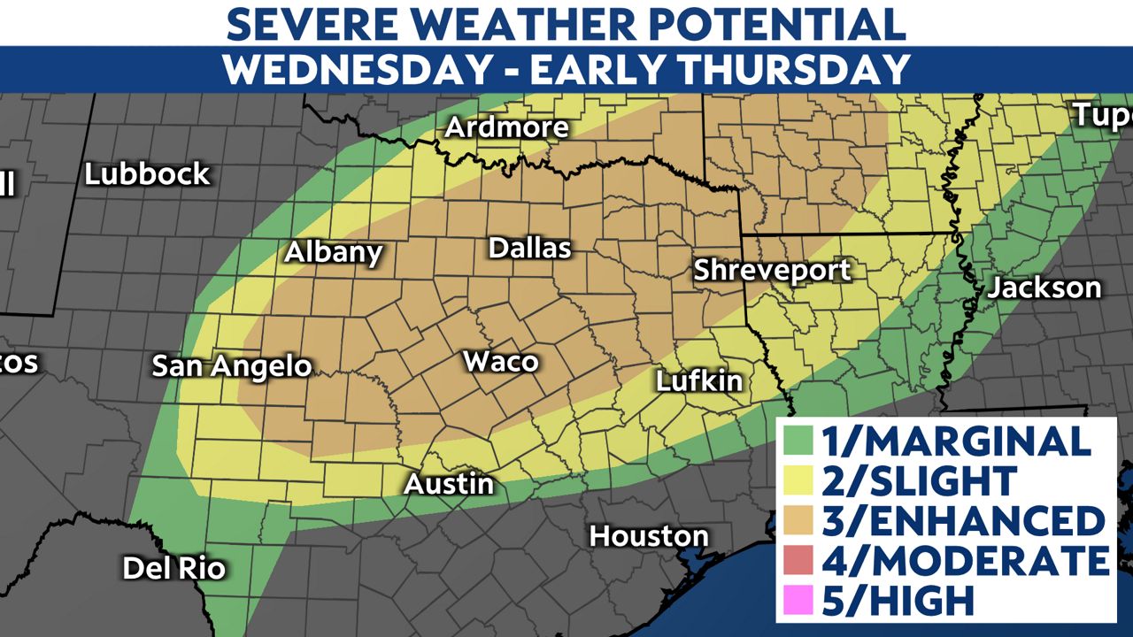
The NWS Storm Prediction Center has issued an enhanced risk (level 3/5) for severe storms across North Texas, including Dallas, Fort Worth, Arlington, Plano, Garland and Waco. A slight risk (level 2/5) is issued for Austin and extending north into Kileen and Temple.
The primary threats are large hail and damaging wind gusts from the early afternoon through this evening.
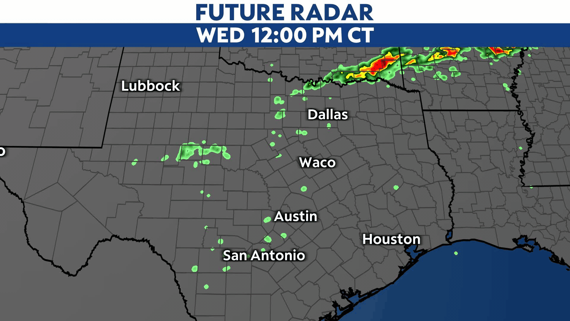
Heavy rainfall is also expected, with Flood Watches in effect across parts of North Texas. Widespread rainfall totals of 1 to 3 inches are expected and localized 4 to 5 inch totals possible.
Download the Spectrum News App and turn on weather notifications to get all the latest weather alerts sent straight to your phone.
Our team of meteorologists dives deep into the science of weather and breaks down timely weather data and information. To view more weather and climate stories, check out our weather blogs section.