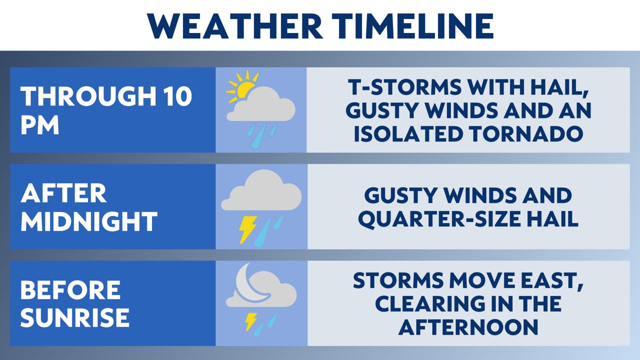
Strong to severe storms are possible across Texas tonight and early Thursday. Another chance is expected from late Friday into Saturday.
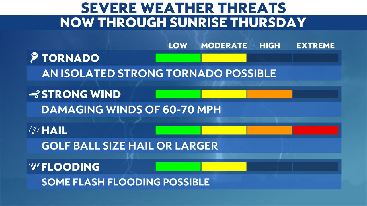
While all severe weather hazards are possible, large hail and damaging winds will be the greatest threats.
Abundant low level moisture and an advancing surface cold front will likely break the atmospheric cap on Wednesday afternoon.
This will spark storms first in North Texas, with the line advancing southward to central Texas by early morning Thursday.
Strong to severe storms will initiate in the Big Country around Wichita Falls through the afternoon. Storms will then affect Dallas and Fort Worth between 5 p.m. and 9 p.m.

The cluster is likely to become more linear as it surges southward, arriving in Waco around 9-10 p.m. and Austin between 11 p.m. and 3 a.m. The system will weaken as it approaches San Antonio in the predawn hour.
Large hail is by far the biggest concern for both events written above. Damaging wind gusts are also likely between 60-70 mph.

The tornado threat is the highest for North TX for the afternoon and evening today.
This is a developing forecast, and we will update the timing and threats as new data arrives.
Our team of meteorologists dives deep into the science of weather and breaks down timely weather data and information. To view more weather and climate stories, check out our weather blogs section.


