Spring is just around the corner, but before we talk about the bluebonnets and severe weather season, let’s give a good wrap up of our recent record-breaking ice storm.
This ice storm had the highest impacts statewide in nearly a decade since the last major ice storm on Dec. 6, 2013.
The Jan. 30 through Feb. 1 event brought upwards of 0.75 inch of ice to Central Texas and the Hill Country. Camp Mabry recorded 0.69 inch of ice. A total of 0.50 inch of ice fell in Paris, Belton and Cameron in North Texas.

DFW airport received 1/3 inch of ice and 1.3 inches of sleet. For most in North Texas, this was a major sleet event, along with the intermittent ice. Dallas reported 1.3 inches of snow.
Many interstates, including interstates 35W, 30 and 20, were shut down because of car accidents that the winter storm caused.
All roadways across the northern half of the state were affected, and this paralyzed many cities for days as ice-coated trees and power lines led to widespread power outages and massive tree damage.

Keep in mind: 0.5 inch of ice is 500 pounds on one span of power lines, and 0.5 inch of ice on a 30-foot tree canopy is 7,125 pounds. And sadly, Texans saw firsthand how our live oaks, ashe, Juniper, cedar, elm and hackberry trees crumbled under the intense weight of the ice.
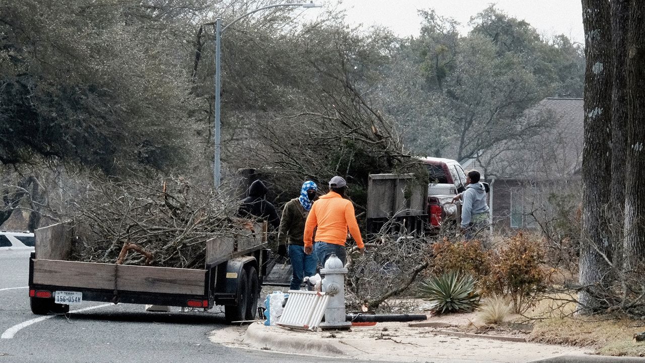
In Central Texas, it looked like a series of tornadoes ran through the entire region with large trees and limbs downed everywhere and blocking roadways. Austin alone saw 10.5 million trees damaged and 31% of its total canopy affected.

350,000 people were left in the dark during this event and of those, 160,000 were in Austin. Tragically, seven Texans lost their lives in this winter storm.
At least 1,600 flights were canceled, and 888 of them were at DFW airport.
Our team of meteorologists dives deep into the science of weather and breaks down timely weather data and information. To view more weather and climate stories, check out our weather blogs section.


