


Widespread freezing rain spreads across the Lone Star state today into Thursday.
Winter Storm Warnings and Ice Storm Warnings are in effect through Thursday morning across the northern half of Texas.
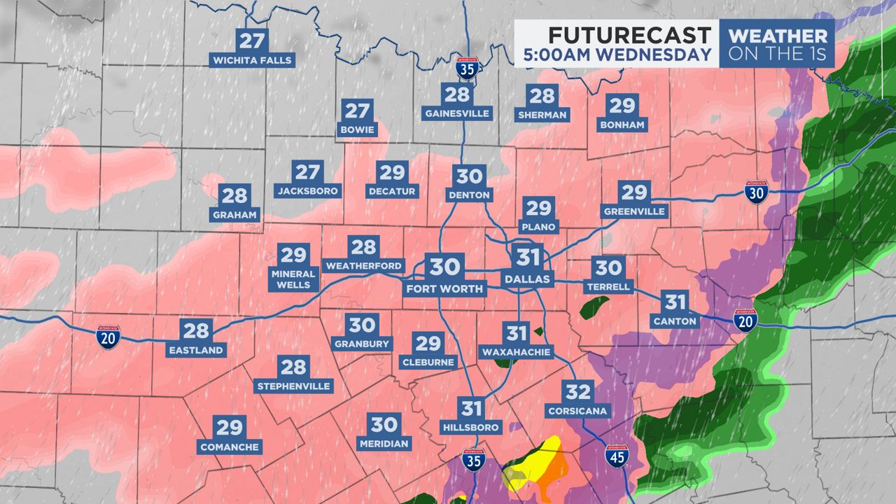
Currently a dangerous ice event is unfolding with rounds of wintry precipitation still trailing from the southwest to the northeast due to an upper level system and cold air mass in place.
Our region is facing additional significant icing as moisture continues to run up the state. We should see more ice accumulations of 1/4 to 1/2 inch in some areas. Higher values up to 0.75 inch in the higher elevations and in North Texas are possible.
The freezing rain will last into Thursday morning until the temperature rises above freezing.
Today seems to be the worst day for travel. So, please avoid driving if possible.
You can now get weather push alerts through your Spectrum News app. These alerts allow you to get advanced notice of various weather conditions in and around your location.
Also, download our app to get up-to-date information on traffic and road conditions, along with potential closures.

Stay alert and weather aware. Your "Weather On The 1s" team will continue to bring you the latest weather updates on air and online.
Our team of meteorologists dives deep into the science of weather and breaks down timely weather data and information. To view more weather and climate stories, check out our weather blogs section.