“When it rains, it pours!” If you ask me, I believe this saying came from Texans when describing the weather, especially this week across North Texas.
However, that’s not the case. According to The Farmer’s Almanac, its origin comes from an unlikely place: the Morton Salt Company. Ad executives developed the expression in the early 1900s to sell salt. Interesting, huh?
What You Need To Know
- Abundant tropical moisture, along with a slow-moving front, produced all the heavy rain
- Rain totals exceeded a foot in a few locations in North Texas
- Many roads were closed because of the fast rising flood waters
There were torrential downpours in North Texas from Sunday to Monday, setting many records for Dallas and Fort Worth. Dallas Airport picked up 9.49 inches, which put a huge dent in our yearly deficit.
It was the wettest 24 hours in almost a century and less than a tenth of an inch behind the top spot of 9.57 inches set on Sept. 4-5, 1932. It’s in the top spot for the wettest August on record with 10.38 inches and we had two days of back-to-back daily rainfall records.
Also, to top it off, 3.01 inches of rain fell between 1 and 2 a.m. on Monday and that was the highest one-hour rainfall ever recorded.
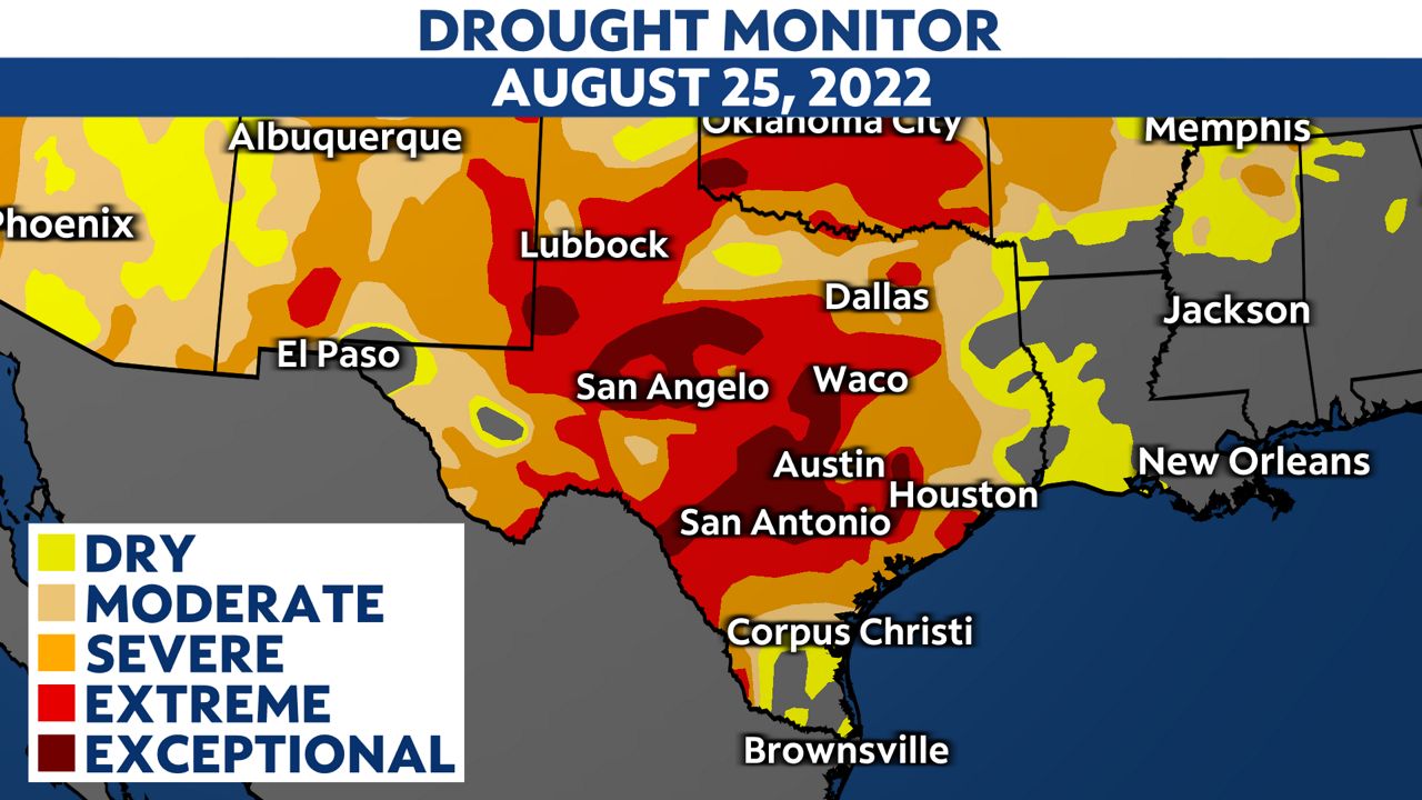
The latest Drought Monitor came out on Thursday and shows some major improvements across North Texas. Last week DFW was in an exceptional drought but is now in the moderate to severe category.
Overall, Texas saw a drop of 14% in the exceptional drought and a 19% drop in extreme drought.

Even though we saw some improvement, we have a way to go. 22.1 million, or 93%, of Texans are still in a drought.
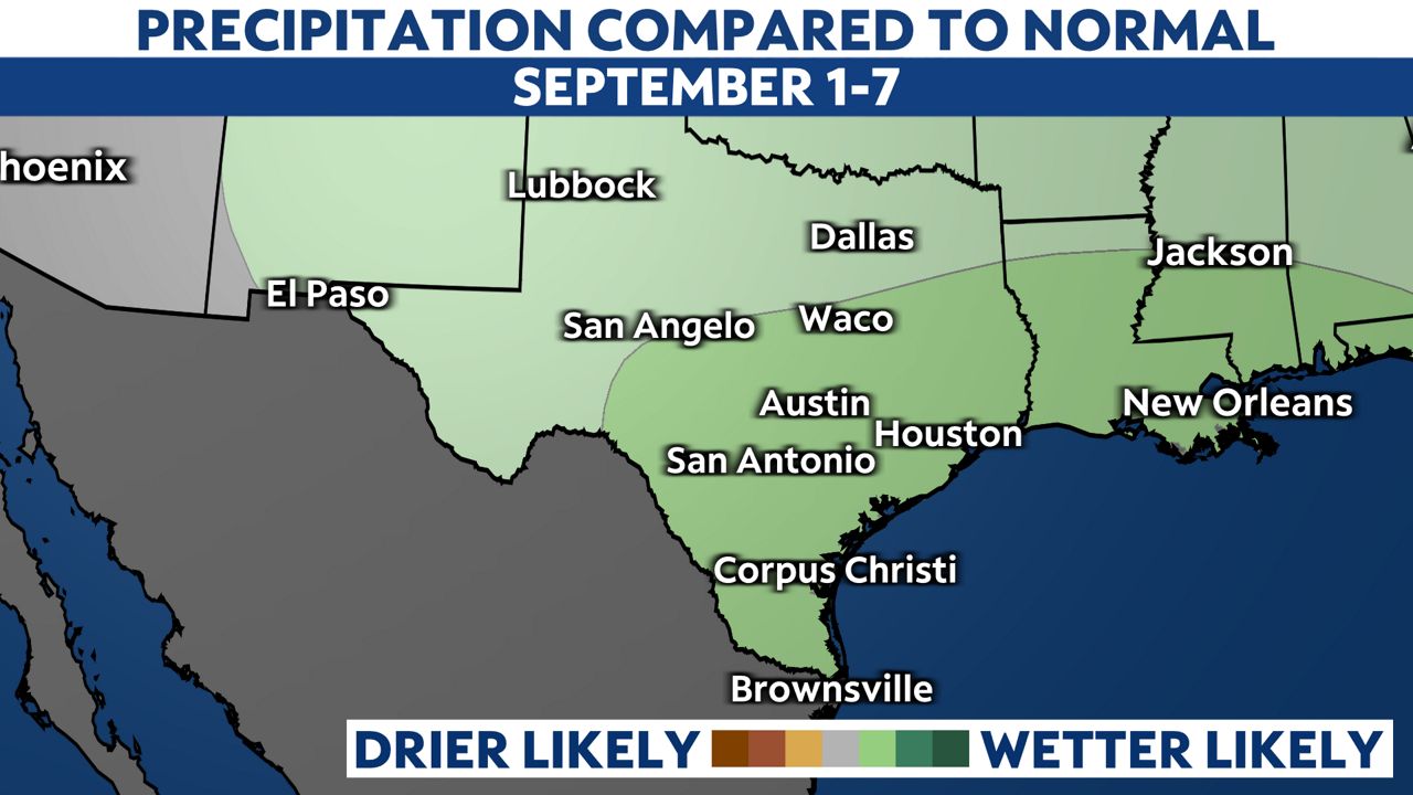
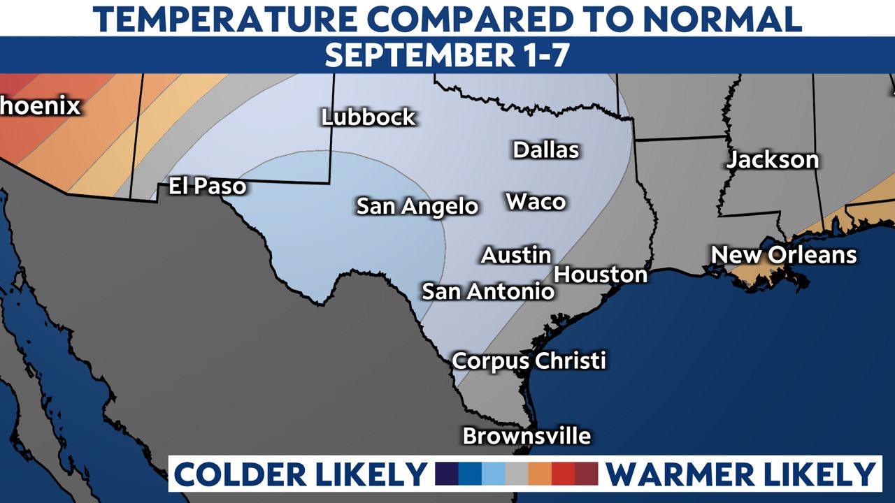
The good news is we have some rain in the forecast through next week and the extended outlook through early September looks promising!


Be sure to follow me on Twitter, Facebook and Instagram.
Our team of meteorologists dives deep into the science of weather and breaks down timely weather data and information. To view more weather and climate stories, check out our weather blogs section.


