The persistent weather pattern that's brought several rounds of rain and thunderstorms is relaxing somewhat, although East Texas remains at risk of flooding.
While rain and thunderstorms are less widespread and the threat of flooding and severe weather have come down as a result, some areas are still on alert.
Go here to check your local forecast as well as the latest view of radar.
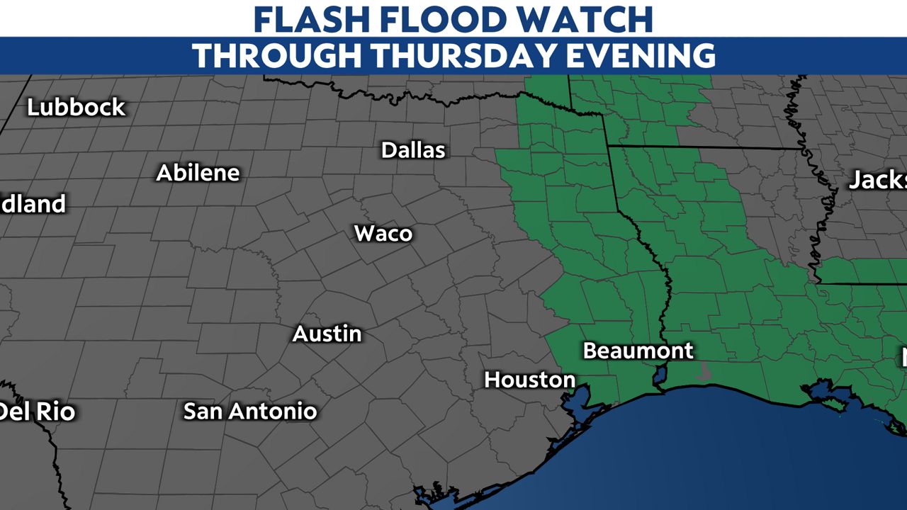
A big area of high pressure over the Eastern U.S. is still sending waves of deep moisture streaming out of the Gulf of Mexico, setting up both a flash flood (shorter term) and a longer-lasting river flood threat.
Because the far eastern part of the Lone Star State is waterlogged, a Flash Flood Watch remains in place through this evening. It won't take much to flood; Beaumont has been drenched with more than 14 inches of rain since Monday.

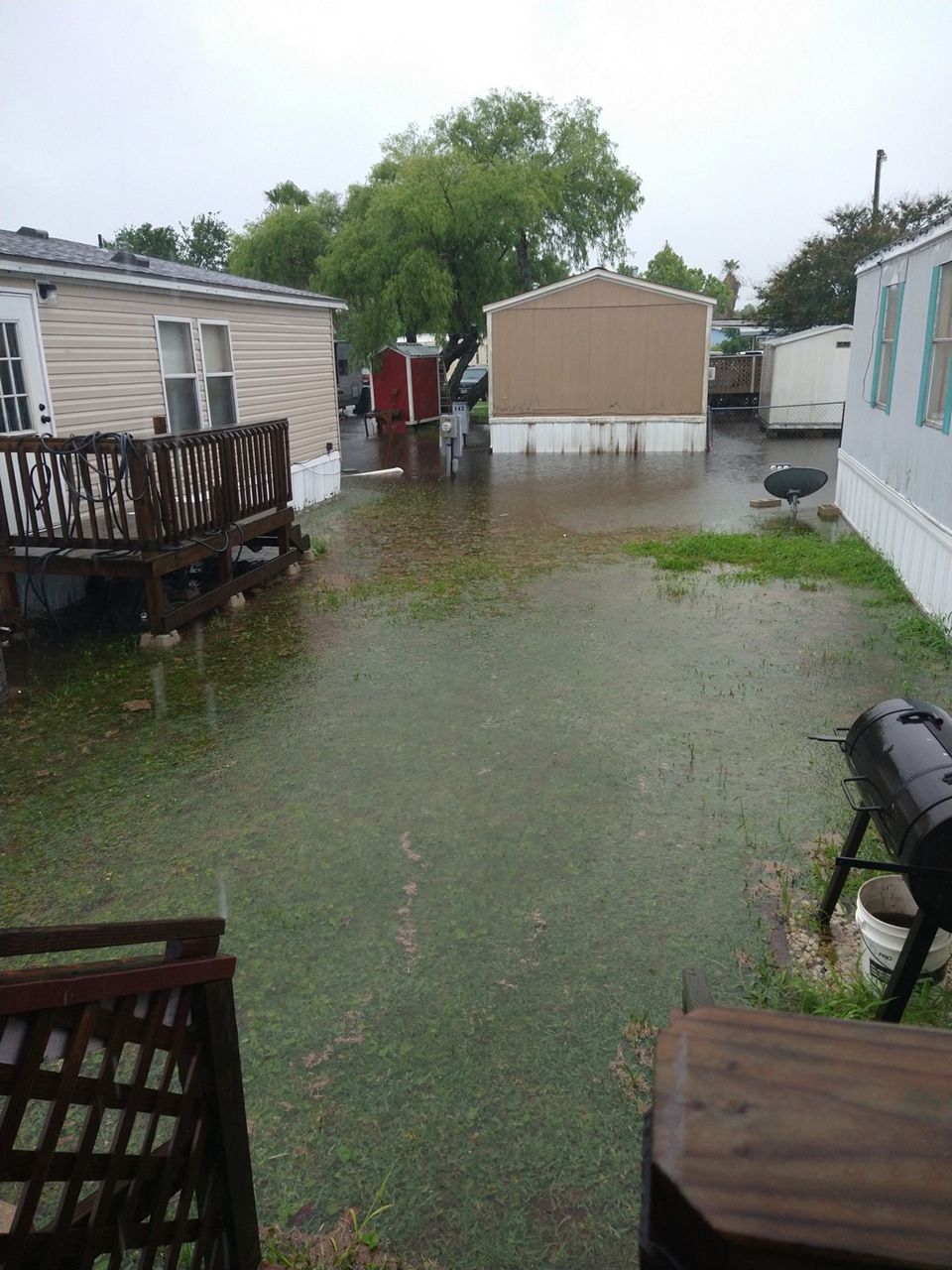
Flooding hit parts of South and East Texas on Wednesday.

After today, the threat of flash flooding will diminish. However, some river flooding may continue toward the weekend.
Flooding is still the primary concern with the active weather. Fortunately, the threat of severe storms is very limited on Thursday. None of the state is is a severe weather risk zone, although scattered thunderstorms remain possible.
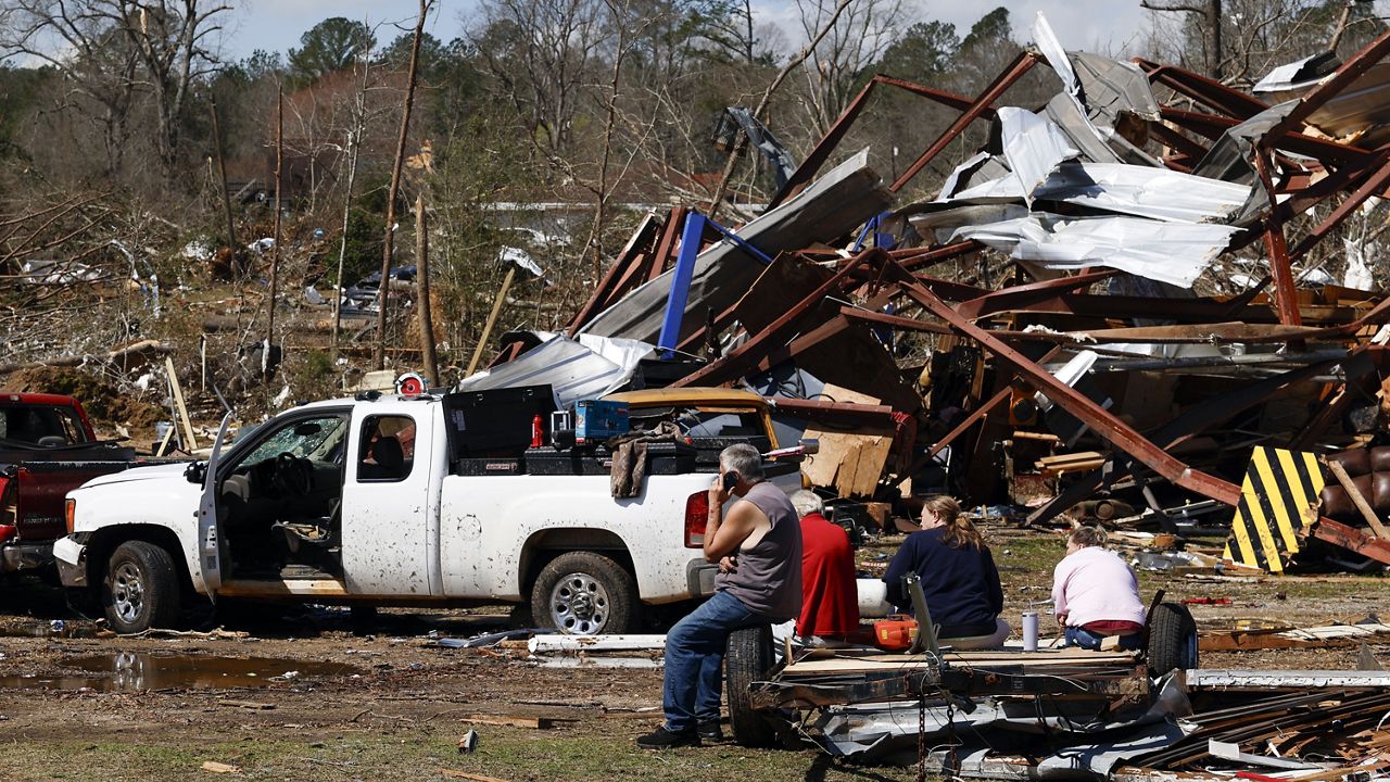
At least six tornadoes were confirmed to have touched down on Sunday in north Texas, including two in Dallas County. An EF-1 in Northhaven led to occasional roof and shingle damage, with one single-family home sustaining a partial roof collapse as a result of the tornado.
Another EF-0 led to minor damage in Dallas' University Park neighborhood.
None of the tornadoes were rated higher than EF-1, and no injuries or deaths were reported with any of the tornadoes.
Damage overnight Monday night west of Corpus Christi came from straight-line winds, peaking at an estimated 85 mph.
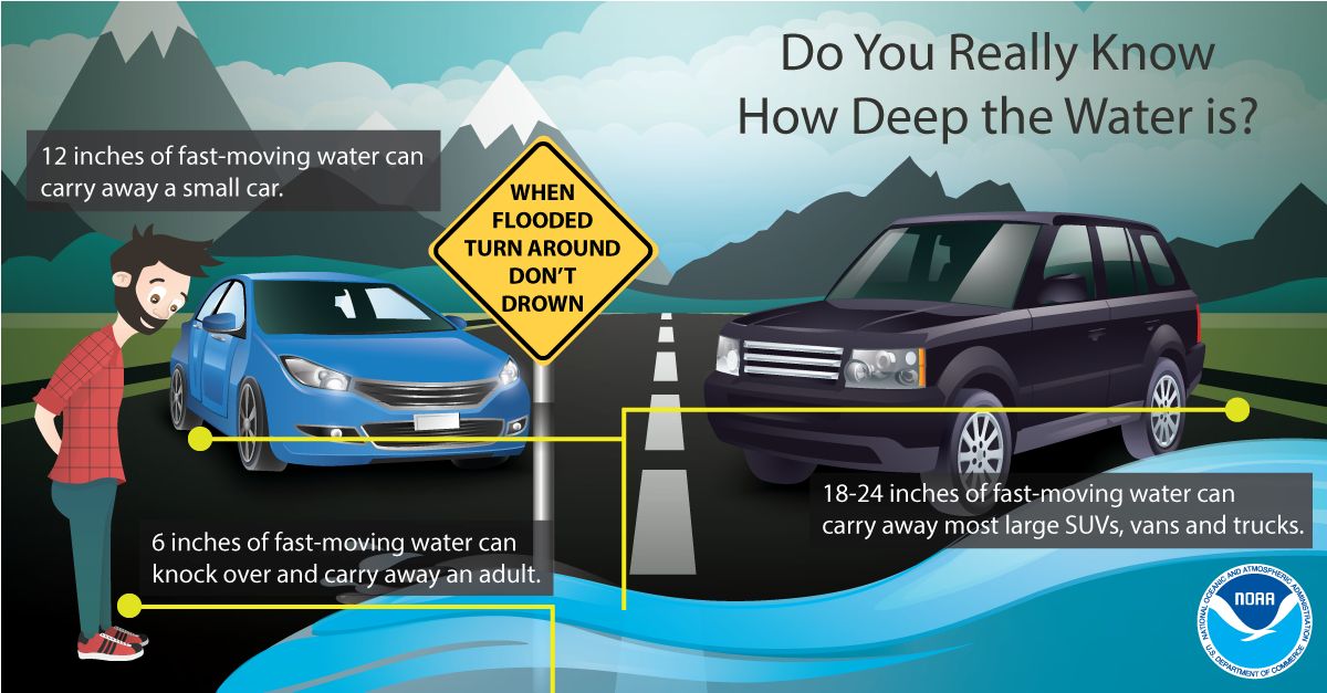
Despite Sunday's tornadoes and the severe weather threat, the main concern this week will be flash flooding. Remember: if you come up to a water-covered roadway, turn around, don't drown.
Here are some other flash flood safety tips to keep in mind as well as we prepare for an active week of weather.


