


The impacts of the fresh snow will last through the day as arctic air has a firm grip on the state.
The National Weather Service in San Antonio issued its first-ever wind chill warning. Here's a feed of the latest information.
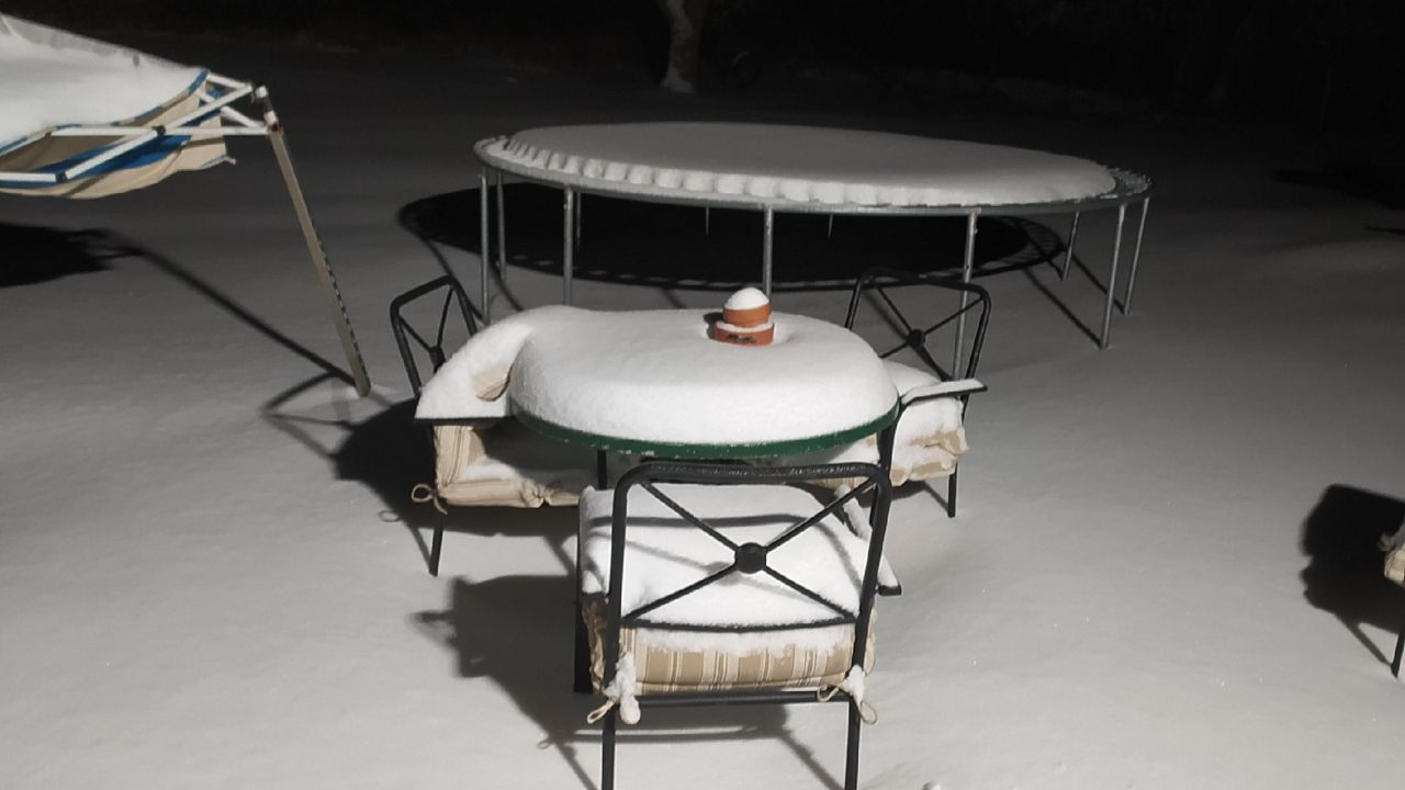
The coldest air since December 1989 blasts through Texas the next couple of days following the 2-4" of snow that fell. Road conditions are treacherous and will stay that way today.
Temperatures plunged into the teens and single digits this morning and will do so again tomorrow morning, some of the coldest air we've seen in more than three decades.
Stiff winds will make the wind chill, or how the temperature feels to the human body, substantially colder. Even this afternoon, they'll be in the single digits above or below zero.
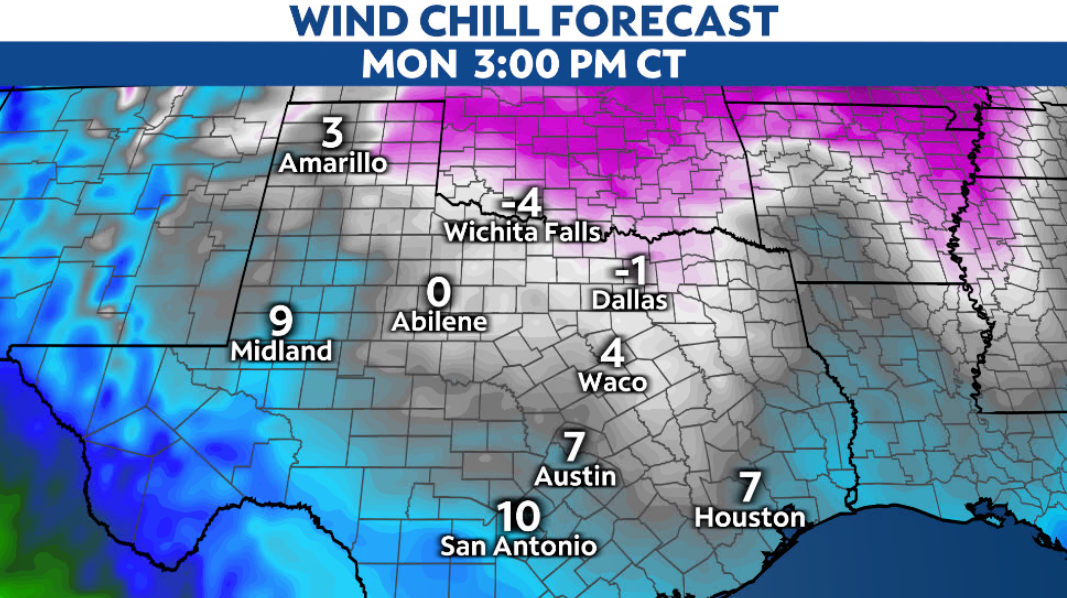
Today in particular could smash several cold weather records. For context, our average high this time of year in both Austin and San Antonio is in the mid-60s.
Snowfall totals in the region were generally around 2-4", although a few places managed to pick up as much as 5". Passing clouds today may squeeze out flurries, but the accumulating snow is over.
Cold temperatures will make treating roads extremely difficult. It can't be understated how dangerous travel will be, and it should be avoided if at all possible.
The cold sticks around through tomorrow. It's not until Wednesday and Thursday that temperatures begin to climb a bit.
Remember to check your pipes, bring your pets inside, and avoid driving in the wintry weather if possible.
Stay with Spectrum News 1 for the latest on this potentially historic winter blast.