


_(1))
Most of Texas enjoyed sunny skies and warm temperatures on Saturday. Even though the atmosphere has stabilized, deep moisture remains across a lot of the Lone Star State.
This means most areas will see low clouds develop heading into Sunday morning. A passing upper impulse will work against a strong atmospheric cap to pop off a few isolated thunderstorms in the pre-dawn hours Sunday and again late Sunday afternoon.
If storms can overcome the cap, a few might become severe with large hail the primary threat. A low risk of these storms is forecast from Austin to north Texas and the Arklatex.
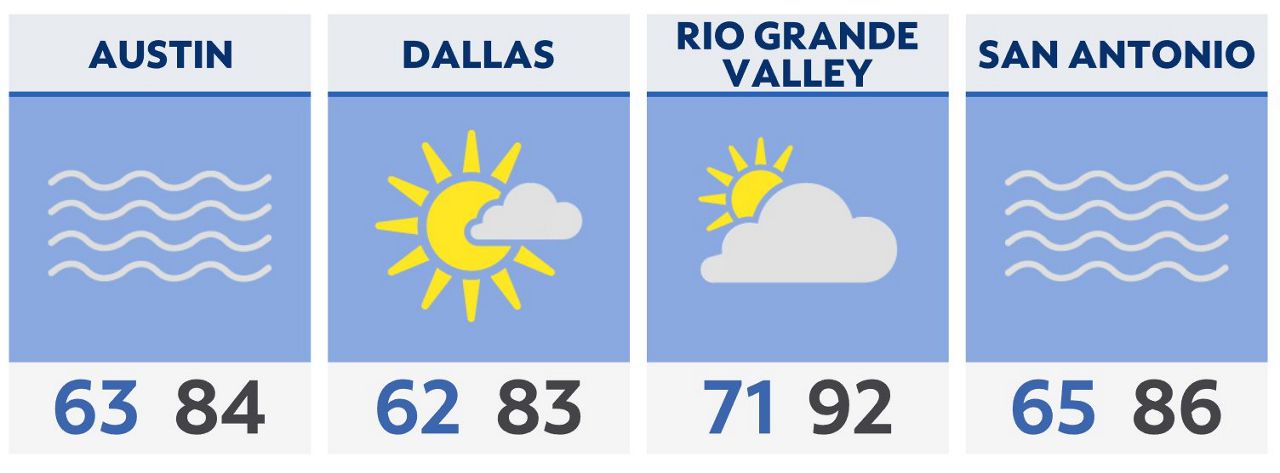
Sunny skies should prevail for Sunday afternoon with highs in the 80s most places.
A dry cold front will then work southward, arriving in North Texas Sunday evening and central and southern areas by Monday afternoon. This will bring dry air and cooler temperatures for a brief spell.
South winds return by Tuesday and by Wednesday many areas will see 90s for high temperatures. By Thursday, a persistent upper low will develop across the western U.S., setting the stage for another days-long rain event for Texas to end the week.
Click here for the latest 7 Day Forecast | Click here to share your weather photos