


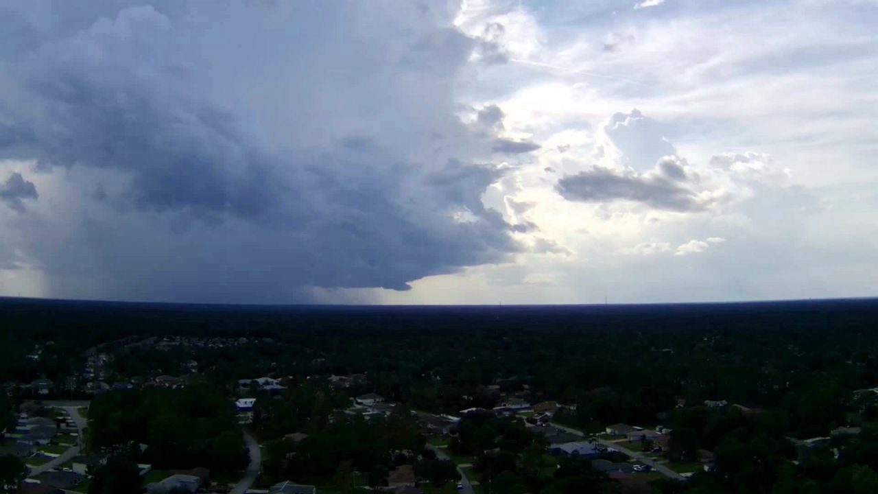
After a pretty nice Saturday, rain and storms will impact your outdoor plans on Sunday.
Deeper moisture is being pulled into central Florida. This will lead to a warm and muggier morning. Temperatures on Sunday will start out in the upper 60s. We could even have a few showers and an isolated thunderstorm around sunrise on Sunday.
You will want to continue to keep the rain gear close through the afternoon and evening. Scattered showers and storms will continue to develop along Interstate-4 and Interstate-95. Some of the storms could become strong to severe. Potentially damaging wind gusts will be the primary concern for the strongest storms. While the tornado risk is low, but an isolated tornado cannot be ruled out.
Our rain and storm chance will continue into Monday as a cold front nears north Florida. A few strong to severe storms will be possible across the north and could impact parts of Marion and Flagler counties.
 |
Highs: Around 80 Lows: Upper 60s Rain Coverage: 70% |
Check your hour-by-hour forecast here | Share your weather photos