

Unfortunately, the threat of freezing rain and snow won't let up until early morning.
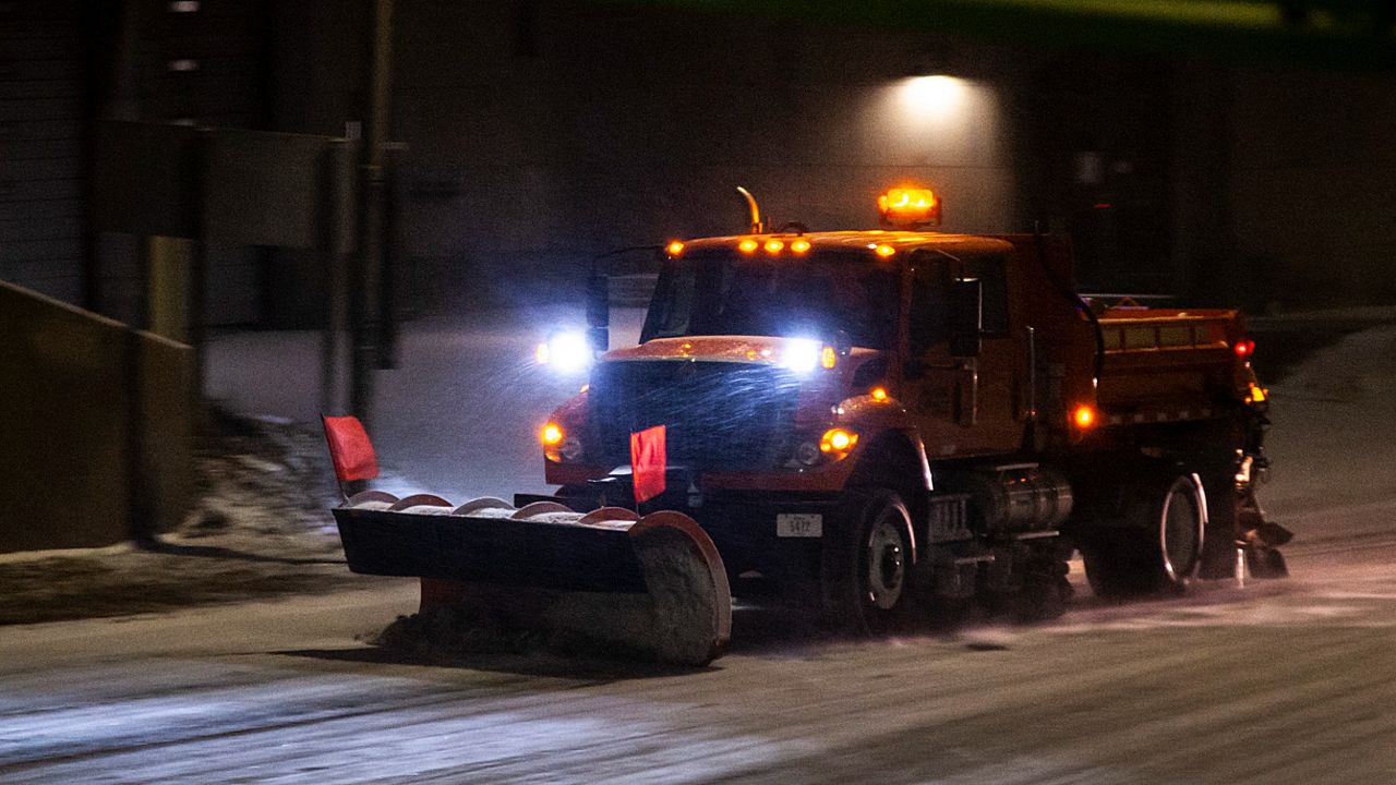
Over the next several hours, ice will continue to accumulate in spots with many seeing 0.25-0.50 inch by morning. Weighted tree limbs could break causing power outages. Untreated roads will remain very hazardous.
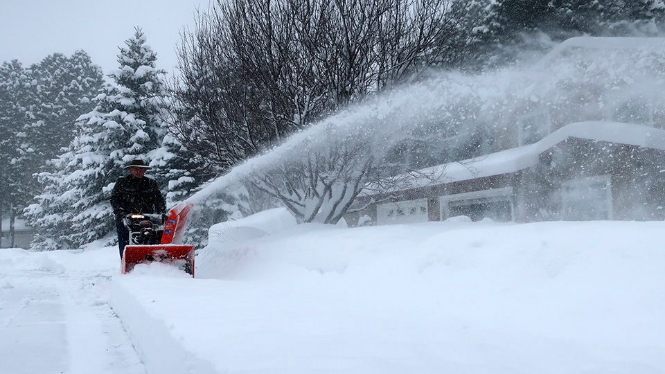
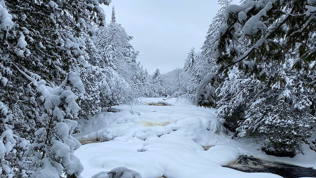
Heavy snow will fall over northern Wisconsin through early evening. Eventually, the system walks east turning all areas to snow after midnight. Snow amounts should be generally light outside of the main band in northern Wisconsin.
Temperatures drop by Monday morning under a strong northerly wind. Expect a few gusts near 40 mph. Lows dip into the teens and 20s.
Clouds gradually decrease throughout the day on Monday with highs in the 30s and 40s.
Look at Monday:

Check your local forecast | Send us your weather photos
Follow the "Weather On the 1s" Team on social media for the latest weather updates:
Meteorologist Brooke Brighton: Facebook | Twitter | Instagram | Threads l Bluesky
Meteorologist Jesse Gunkel: Facebook | Twitter
Meteorologist Kristin Ketchell: Facebook | Twitter | Instagram