


The setup for the weekend is complicated. A front separating 30s and 40s from 60s and 70s will be draped across the area.
As of now, it looks like this front will oscilate north along a line from roughly Buffalo to Rochester between Route 31 and Routes 5 & 20.
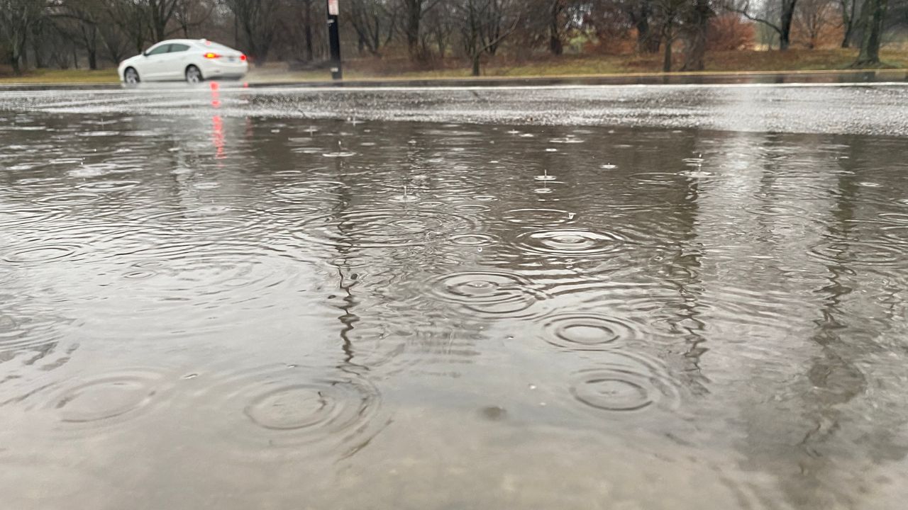
To the north, cold rain showers this afternoon into early Sunday morning. South of this front will be a few showers with some sun and quite warm for the season.
It looks like as we head into Sunday, rain will become more widespread compared to Saturday.
A cold front will arrive Sunday night into Monday with more rain showers, possibly a thunderstorm and turning sharply colder for the afternoon into Tuesday.
Today: 40/50s (north) - 60/70s (south)
Tonight: 30s (north) - 40/50s (south)