


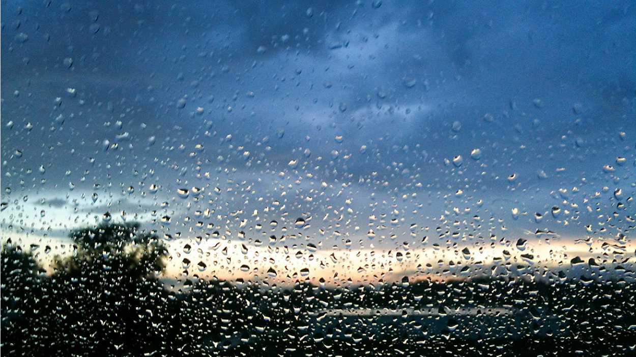
Swollen waterways could easily push out of their banks today as this chilly, wet episode continues across Central Texas. Be especially careful out there on the roadways, where conditions are quite slick, and be sure to keep an umbrella and jacket nearby as you'll likely need them both again today. The forecast calls for an 80% rain/storm chance with temperatures just barely rising up to near 50 at the warmest today.
Current Conditions | Satellite & Radar | Travel Maps
7 Day Forecast | Allergy
An additional 6-10" of rain fell in the Hill Country during the past 24 hours, and floodwaters are forecast to bring up Lake Travis to near 681 -- within one foot of full -- during the next 24 hours. Once again, the Llano River is in MAJOR flood with a forecast crest near 41 feet -- that rivals the flood of record of 41.5 fee from June 14, 1935. The LCRA has opened all floodgates at Starcke Dam and 4 floodgates at Wirtz Dam to allow the flood flows to empty into Travis. In addition, minor flooding occurred on the Pedernales River last night and it, too, empties into Lake Travis. Stay away from flowing water as it could be turbulent today.
Floodgate operations will begin at noon for Mansfield and Tom Miller dams. The LCRA has closed Lakes Travis, Marble Falls, LBJ, Inks, and Buchanan until further notice. Additional gates will open at 2 p.m., 4 p.m., and 6 p.m.
As for the forecast, we are happy to see a possible lull in the rain coming today. According to computer models, showers will be less numerous and more isolated out there today. It's an overall 80% chance for showers & storms.
And the chilly breeze continues! Northerly winds around 10 to 15 mph could gust near 20 mph throughout the day, adding on a biting wind chill at times. Under the overcast, we expect temps will move only five degrees or so during the next 24 hours. Our official forecast calls for a low near 47 to start tomorrow morning then a high around 55, with an overall 40% rain/storm chance during the day Wednesday.
Then, on Thursday, another disturbance will move north into our area, causing more showers & storms to break out -- an overall 70% rain chance Thursday with highs in the upper 50s, then 50% odds for rain on Friday with daytime highs back in the low 60s.
A weak cold front is expected to side-swipe the Austin area on Saturday with a slim 30% rain/storm chance but very little impact otherwise. We think temps will warm back up to near 70 degrees this coming weekend.
Be sure to check in with us often on 'Weather on the 1s' as we watch the radar and flood threat. You can catch our report every 10 minutes on TV or via the live stream.
WEATHER ON THE GO: Download the Spectrum News app and watch our live stream no matter where you are!
GET WEATHER ALERTS: Sign up to receive weather text alerts from the Spectrum News Weather Team
Enjoy safe!
--Chief Meteorologist Burton Fitzsimmons (@Burton_Spectrum)