


The forecast looks increasingly wet through Wednesday as two weather features take aim at the region.
A slow-moving front will direct storms from the Panhandle towards the Texas Hill Country by tonight, then an upper-air disturbance will swirl directly overhead tomorrow with a couple of rounds of potentially heavy rain coming in from the west.
Our latest computer models show the activity ramping up around the Capital City with a possible peak during the middle of the day Wednesday. As the disturbance moves out of Mexico, a squall line of storms is expected to form and sweep directly over the I-35 corridor through Wednesday afternoon.
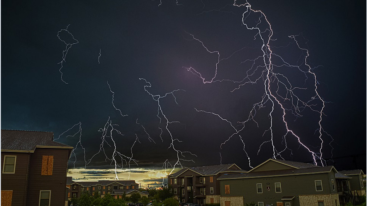
The strongest storm cells could bring blinding downpours, frequent lightning, sizable hail and potentially damaging storm winds. And, once again, we can't rule out an isolated tornado or two.
Make sure to secure any loose objects in your yard, and plan to park in a garage or under a carport if possible.
NOAA's Storm Prediction Center has much of our area in the "slight risk" zone for severe storms on Wednesday.
Make sure you can get alerts in case warnings are issued, and be prepared to seek safe shelter indoors. There's no safe place outdoors during a thunderstorm!
GET WEATHER ALERTS: Sign up to receive weather text alerts from the Spectrum News Weather Team
Please join us on Spectrum News for more with our 'Weather on the 1s' every 10 minutes. You can watch on TV or via the live stream.
WEATHER ON THE GO: Download the Spectrum News app and watch our live stream no matter where you are!
Be safe!
--Chief Meteorologist Burton Fitzsimmons (@Burton_Spectrum)