


After a mild to even warm start to November in Rochester, the bottom fell out with lots of days featuring highs in the 30s and 40s the rest of the month.
Since Nov. 13, all but three days featured highs in the 30s and 40s. Official highs for those three days were in the 50s.
In those first 12 days, the average monthly temperature ended up 1.8 degrees above average, at 43.5 degrees.
The warmest temperatures was 77 degrees on Nov. 5, with the coldest temperatures recorded on Nov 20. at 20 degrees.
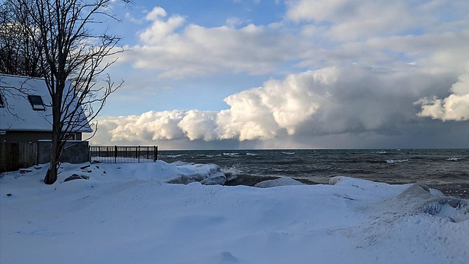
We ended up with 2.80 inches of precipitation for the month, which is 0.13 inches above average. Rochester also received 4.5 inches of snow and ice pellets.
Looking into December, there is a lot of cold air settled across southern Canada. This is a common feature for early December.
We will get in on some of it, but the prevailing west-to-east pattern will be active. That means we will see some cold punches with occasional widespread snow when frontal systems move through, followed by local lake-effect snow. The cold punches don’t look to last more than a few days at a time.
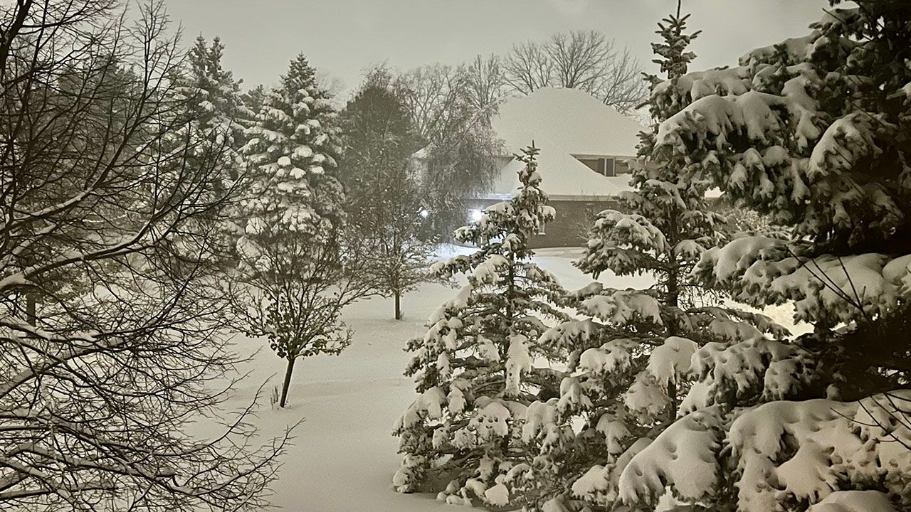
If you’re hopeful for a big snowstorm, it doesn’t look likely in this pattern through at least mid-December. That could change and we’ll keep you posted if it does.
One caveat: When temperatures are below freezing, even a widespread light snowfall event will produce some slippery and slower-than-normal travel. So, please use caution when this happens.
Our team of meteorologists dives deep into the science of weather and breaks down timely weather data and information. To view more weather and climate stories, check out our weather blogs section.