The National Weather Service and the New York State Office of Emergency Management are teaming up the first week of November to promote winter weather safety.
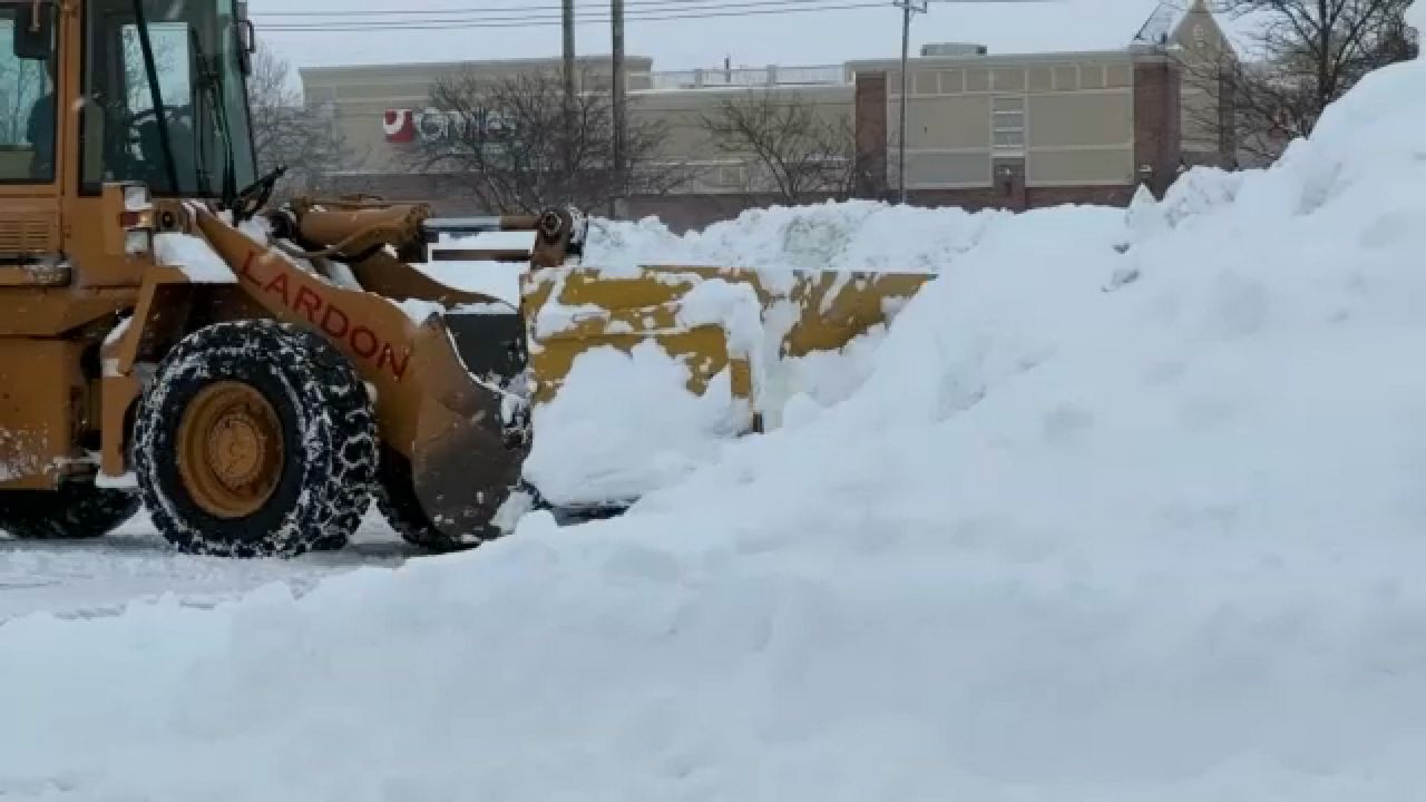
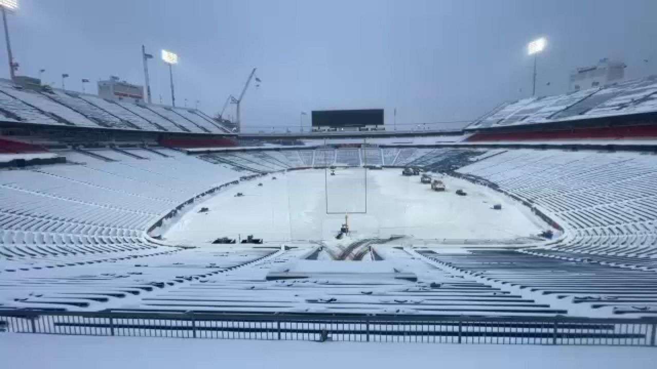
While a good chunk of New York State saw its first snowfall already, it was just a taste of old man winter. Before the next major winter storm happens, it’s important to be prepared and know how to stay safe during that inclement weather.
That’s where winter weather awareness week comes into play, so let’s break down each day and its main points.
The first day served as an intro to the week. Regardless of the exact scenario, it’s important to develop a family emergency plan and to stock up on emergency supplies.
Key items include bottled water, non-perishable food, flashlights, batteries, and a battery operated radio. Ideally, you want to have a plan in place and enough supplies to make it on your own for three days, if not longer.
The final main takeaway from Sunday is to be aware. Know your local TV and radio stations that can provide you with up-to-date information, as well as taking advantage of other resources, like the NY alert text system and NOAA weather radios.
Winter storm preparedness was the topic for Monday. During any major winter storm, it’s usually best to stay put at home rather than venturing outdoors.
Your primary concerns at home are how to handle the possibility of losing heat, electricity, and phone service. When the power goes out, most lose heat since most furnaces utilize electricity.
That’s why it’s always good to have some spare blankets, but even if you have an alternate heat source, like a fireplace, make sure it’s cleaned and in good condition. Make sure your smoke and carbon monoxide detectors, as well as fire extinguishers, are in good working order.
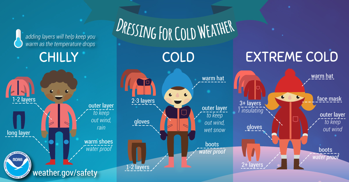
If you do have to venture out in some less-than-ideal winter weather, always make sure to bundle up. Wear several layers of warm, loose-fitting clothing as the multiple layers will help trap your body heat better than one heavy layer.
Don’t forget to cover up your hands and head, as well. Without a hat to help, you can lose a significant amount of body heat through your head.
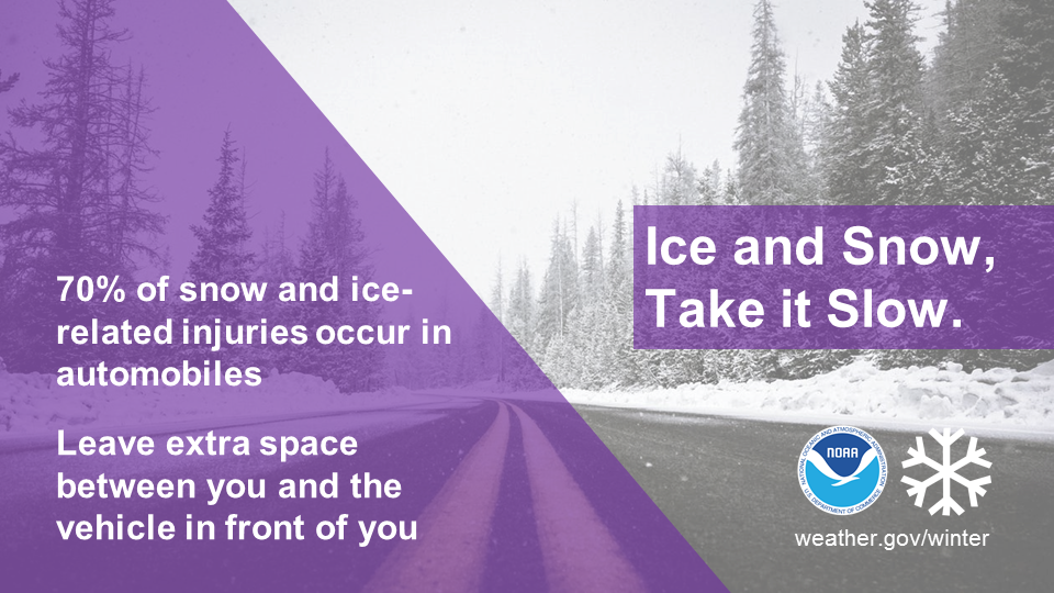
Leaving the house involves getting into a car for many, and winter weather can make a normally smooth car ride turn treacherous quickly. Visibility and traction can be drastically reduced quickly, but your car may not be a fan of handling cold weather in general.
With that mind, make sure to keep your gas tank full, engine tuned up, battery checked, snow tires ready to go, or at least make sure your all-season tires are inflated and have enough tread.
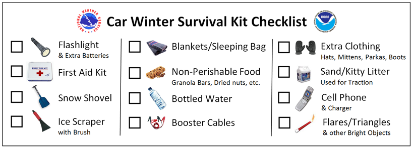
Just like at home, you’ll want to have an emergency kit packed away in your car. For your car specifically though, that should include a shovel, blankets, sand or kitty litter, jumper cables, ice scraper, and snow brush.
If you do get stranded in the snow, stay in or near your vehicle. It’s easy to get quickly disoriented in a blinding blizzard, plus it’ll be easier for help to find you.
The third of the week is all about heavy snow. Heavy snow in Western and Northern New York is defined as 7 inches or more falling in a 12-hour period, or 9 inches or more within a full day.
For those parts of the state, heavy snow is often a result of lake effect where snowfall rates can exceed4 inches an hour at times. That's enough to overwhelm snow removal crews, but lake-effect is often accompanied by strong winds that can quickly reduce visibility and create deep drifts.
As opposed to the narrow bands of lake-effect, heavy snow can fall across a more widespread area due to a large storm system that rides up the Atlantic coast. Those storms are known as nor'easters.
Heavy snow can wreak havoc for those who get plummeled by it. It can strand commuters, shut down airports, knock down trees and power lines, cause roofs to collapse, and result in severe economic impacts.
Not all winter precipitation is snow though, and that’s why Wednesday is dedicated to ice storms. Significant ice accumulations can also bring down trees and power lines due to the weight of the ice, and that can result in power outages for an extended period of time.
Even small amounts of ice are enough to create headaches for those walking outside and for those hitting the roads. That’s especially true for bridges and overpasses as those freeze over sooner than other surfaces since cold air surrounds it from top and bottom.
Freezing rain can build up ice quickly. If it’s warm enough higher up in the atmosphere to support rain, but temperatures are below freezing at the surface, once that rain falls and hits something at the surface, it immediately freezes and creates a layer of ice.
It may not seem like it, but flooding is a pretty common threat in New York State during the winter. That’s why flooding and ice jams are the topic for Thursday.
Periods of thaw can produce enough snowmelt to saturate the ground and increase levels in local waterways. You combine that with some significant rainfall, and flooding can quickly become a concern.
On the opposite side of the spectrum, a prolonged cold spell can see ice that forms on a river or stream become several inches thick. While ice jams tend to form near the same spots every year, it is nearly impossible to predict exactly when they will form or when they will break.
An ice jam can cause flooding upstream by blocking the flow of water, but if the jam suddenly breaks, it will quickly release that backed up water and chunks of ice downstream.
That's why it's important to always stay alert for any flooding and any sudden changes in water levels if you live or travel near an area that's prone to ice jams.
The final day of the workweek is all about those winter weather alerts you see the National Weather Service issue. That includes advisories, watches, and warnings.
If the threat for hazardous winter weather increases, a winter storm watch will be issued. This includes anything from heavy snow, significant icing due to freezing rain, and blizzard conditions.
A step above that would be a winter storm warning. It’s for the same parameters, but there’s high confidence of it happening within the next 48 hours or so.
The exception to that would be a lake-effect snow warning, but the initial concern for significant lake-effect would fall under the category of winter storm watch if its more than 2 days out from the start of the event.
There’s also winter weather advisories, but that’s the alert that poses the least alarm. That’s for wintry weather that could cause an inconvenience, but isn’t normally considered to create life-threatening conditions.
Snowfall totals of 4 to 6 inches would fall into the category of a winter weather advisory, as would light freezing rain and blowing or drifting snow.
The National Weather Service also has weather alerts that cover dangerous wind chills. A wind chill advisory would be for feels-like temperatures of 15 degrees below zero, and a warning would be for wind chills of 25 degrees below zero and lower.
The threshold is a little different for parts of the North Country though. For Jefferson and Lewis counties, the threat for wind chills of 20 degrees below zero would be needed for an advisory, and 30 degrees below zero and lower for a warning.
The last and final day just recaps all of the information and advice that was covered earlier on in the week. Prepare now for more winter weather, but you can always check out more weather safety tips and facts here.
