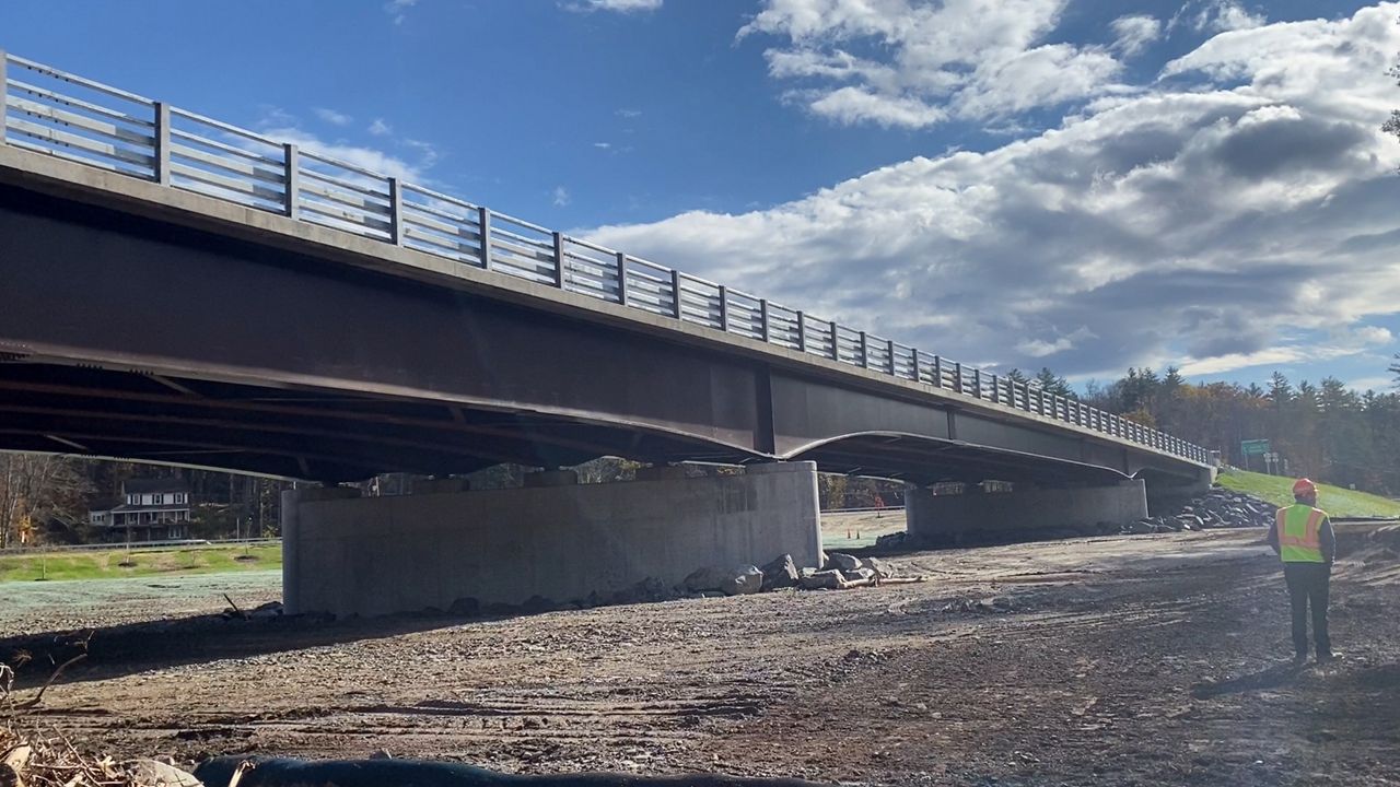
Governor Kathy Hochul announced work was completed at a Route 28 bridge over the Esopus Creek after a two-year project and $23.6 million investment to provide resiliency to an Ulster County community wrecked by storm damage a decade ago.
“Hurricane Irene came through here in 2011, and the Esopus Creek rose to unbelievable levels in a very short period of time,” said New York State Department of Transportation Commissioner Marie Therese Dominguez. “This bridge was originally built in 1966, but it clearly wasn’t built for what we’re dealing with right now.”
What You Need To Know
- NYSDOT invested two years and $23.6 million into an Ulster County bridge and landscape destroyed by Hurricane Irene in 2011
- The bridge was closed for two days after floods from the hurricane overwhelmed the dated structure
- DOT officials raised concerns over intensity of rainfall in shorter amounts of time that quickly overwhelm dated infrastructure
After Hurricane Irene, the bridge was completely shut down for two days, leaving those on either side unable to cross and access essential things. Even when the roadway opened, it was only for one-lane traffic for a brief time.
“It’s a critical piece of transportation infrastructure here in the Catskills, and when people couldn’t get to their jobs and their homes, it really provided a huge barrier,” said Dominguez. “This bridge was originally built in 1966, and it’s clearly not made for what we’re dealing with right now.”
On Wednesday, the banks of the river were filled with debris from flood waters that had rushed past after three inches of rains the week before. Although it didn’t come from a tropical system or severe storm, the intense rainfall in a short amount of time proved why the extent of improvements to the bridge are warranted.
“With even a little bit of rain, you get a lot of debris that comes down this creek. What we’ve seen in the last 10 to 20 years is that the intensity of rain that we’re finding in each storm is so significant,” said Dominguez.
Since storm intensity is only expected to increase, the DOT channeled its efforts to providing a permanent fix to help the bridge and surrounding area handle raised water levels. The length of the bridge was increased from 336 feet to 800 feet, extending the abutments and adding another 10 feet of clearance underneath.
Additionally, the DOT raised Vicino Road, perpendicular to Route 28, 10-12 feet to protect houses on the land, and replaced an old culvert with a new 8-by-8 box culvert pipe.
“The box culvert is more resilient than anything we had before,” said Dominguez. “It literally all ties it back together into the natural environment.”
The focus of the DOT was to allow the excess water to have somewhere to naturally go, not forcing it into a restricted area and allowing it to damage infrastructure. That includes a large floodplain between the culvert and bridge. Landscape architects have been tapped to help with this section of land, choosing natural foliage that will help mitigate any flooding, along with providing habitat to the area.
“I will say it has been very much a group effort,” said Dominguez, who added that support from local community groups and partnerships from other state and federal agencies, as well as Gov. Hochul, help make projects like this happen.


