


Most kids went back to school this week, so I thought I’d give you a general idea of what to expect over the next couple of months weather-wise.
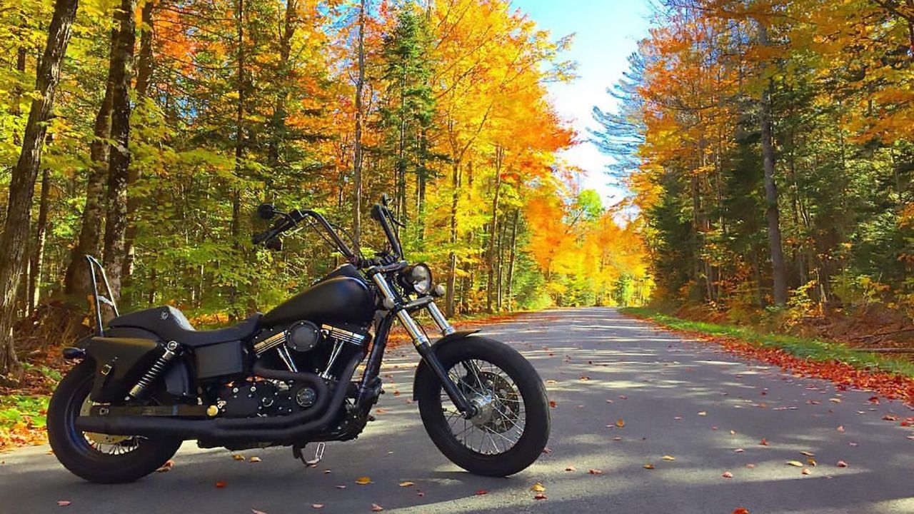
September is one of the more pleasant months of the year for weather in Western New York and across the Finger Lakes.
Of course, average highs are turning cooler and daylight hours are getting shorter.
However, more often than not, we enjoy lots of dry weather with warm to mild days under ample sun followed by pleasantly cool nights.
September is my favorite weather month of the year, by far!
We can still see an occasional bout of rain and even gusty storms, but more days than not are quiet and pleasant.
You have to get out and make the most of the nice weather though because the cold, blustery weather is right around the corner at this point in the year.
The first frost for most of the region typically occurs in mid-October, but can happen earlier for interior sections of the Southern Tier and portions of the Finger Lakes.
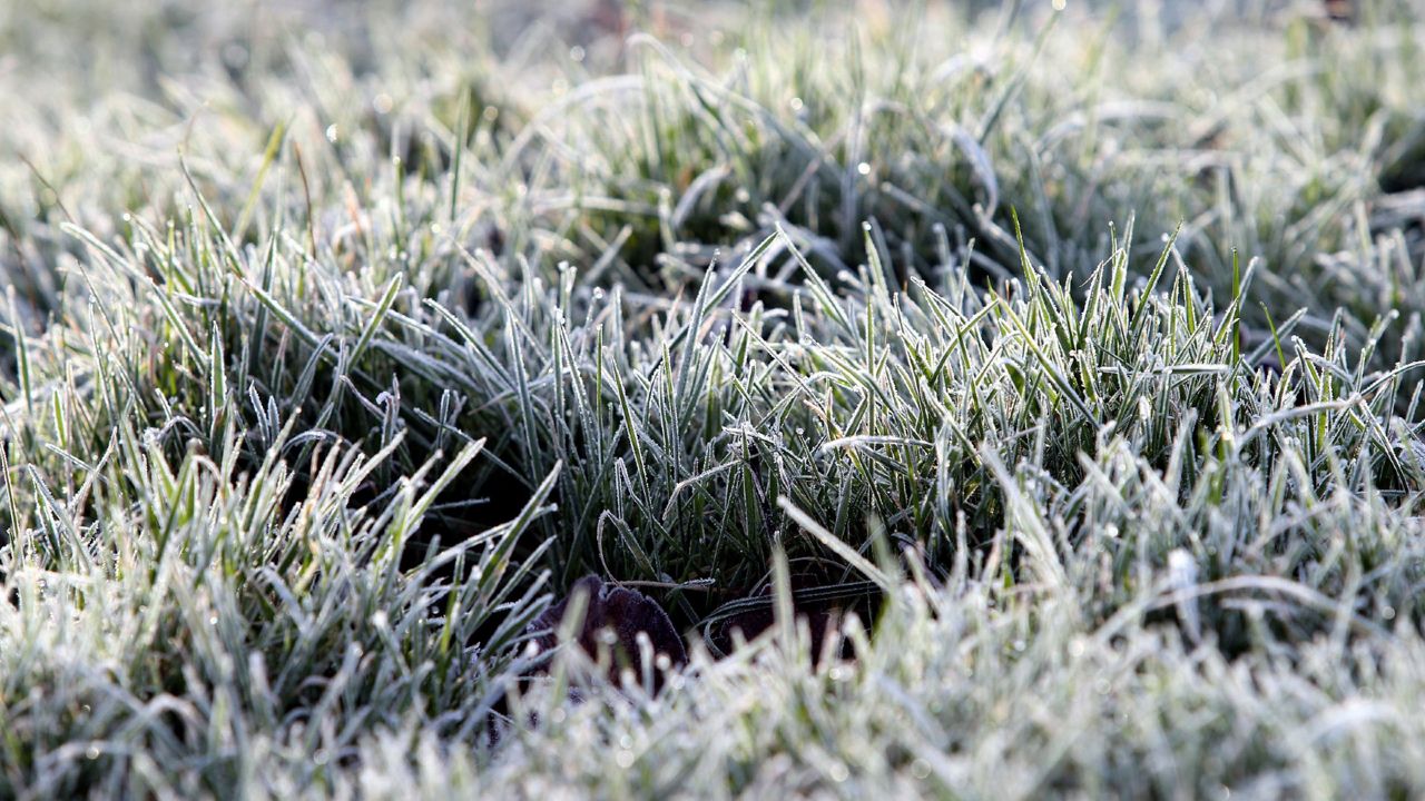
Warmer lake waters at this time of year influence low temperatures and keep them from getting so cold in September.
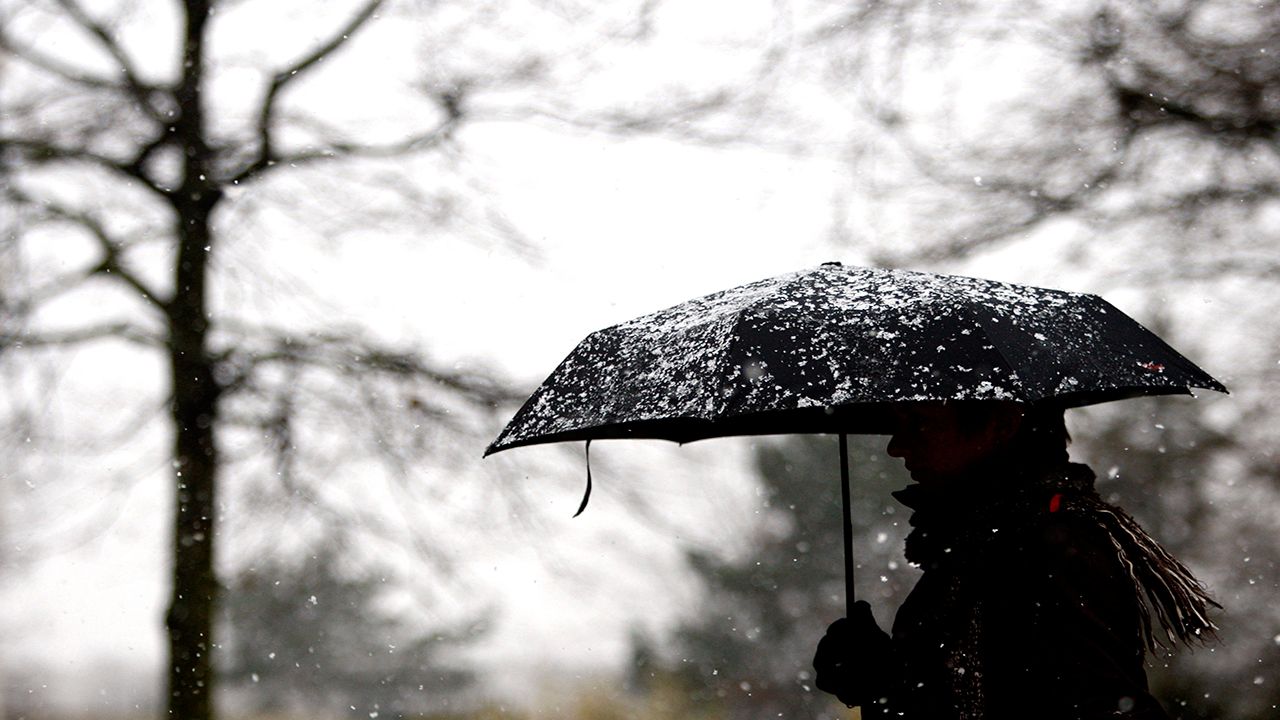
October is a bit more changeable. It can feature nice weather, but also damp and chilly weather if the jet stream pattern is right.
As mentioned above, the first frost for much of the region typically occurs around the middle of the month. The first snowflakes are typically about a week later.
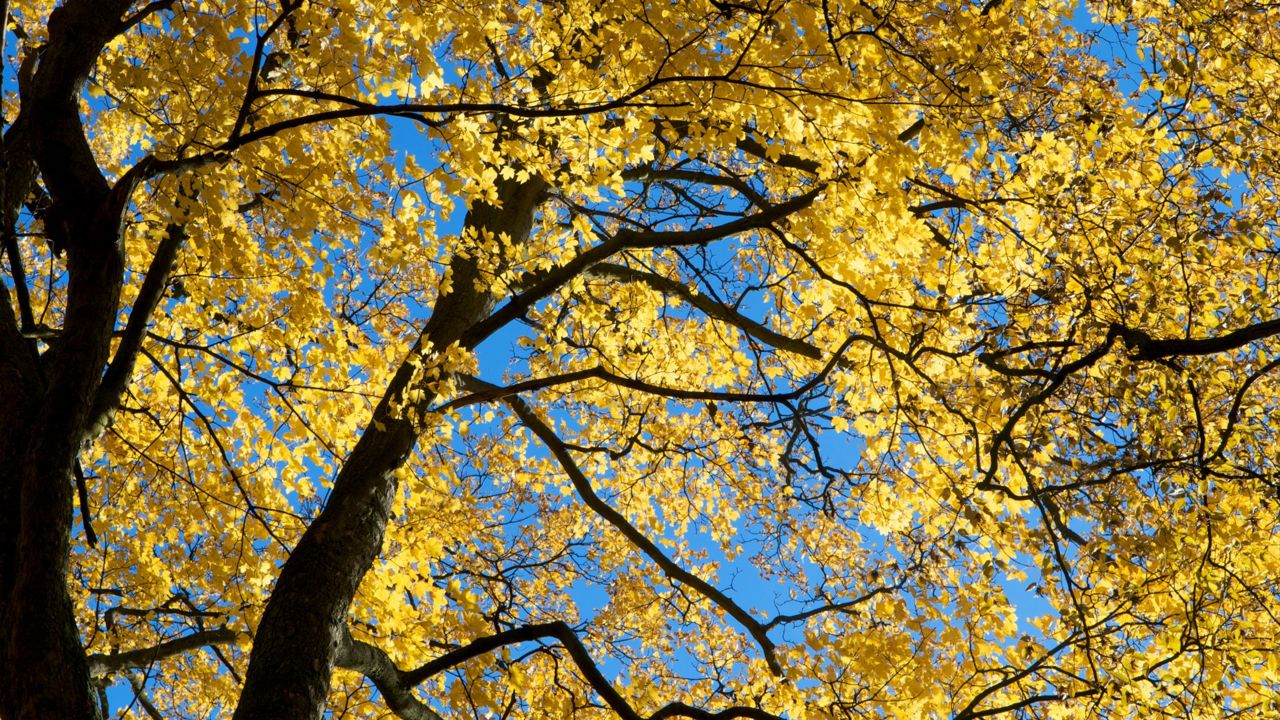
By the way, peak fall color closer to the big lakes (Ontario and Erie) occurs toward about the third week of October. It happens sooner over the higher elevations of the state.
The Adirondacks and Catskills are first, followed by interior sections of the Southern Tier. The Finger Lakes are next, but also changing with good color earlier in the month. Last are the areas closest to the big lakes.
Snow generally isn’t a big deal in October for a few reasons. I’ll give you a couple.
The ground is still relatively warm, so unless temperatures are below freezing, and/or it’s snowing heavily, it has a tough time sticking to the pavement. Even when it does, it usually melts quickly.
And, a number of the early season events are a mix of rain, wet snowflakes and ice pellets because of the air not being quite cold enough or warm enough to see one or the other type of precipitation.
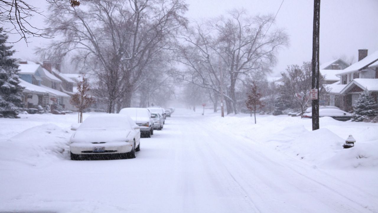
However, there have been freak events. The one that stands out the most in my mind was a colossal lake-effect snow event in Buffalo in mid-Oct. 2006.
Heavy, wet snow blanketed the region, with some spots picking up close to two feet of snow. Leaves were still on many trees and wet snow weighing down power lines caused more havoc. Thankfully, events like these are rare.
November is typically when we see the initial pushes of arctic air with lots of gloomy, cloudy days and frequent precipitation. I say precipitation because we still see rain, wet snowflakes and ice pellets in the mix.
November and December are our cloudiest months of the year, with December garnering the coveted No. 1 spot.
This changes toward mid-January, but winter weather is typically in high gear by this point.
Before we get there, though, I hope you enjoy some of the glorious weather we will see this month and in October.
Our team of meteorologists dives deep into the science of weather and breaks down timely weather data and information. To view more weather and climate stories, check out our weather blogs section.