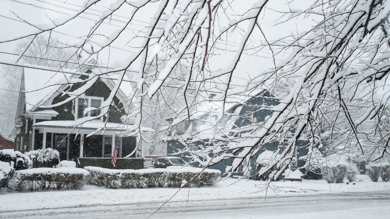
Any wintry mix with sleet or freezing around Sunday evening changes over to plain snow. Snow could fall overnight and into Monday moderate to heavy, with snowfall rates up to 2 inches per hour.
RELATED:
Continue to watch out for slick and slow travel due to snow covered roads, icy spots, and greatly reduced visibility.
Sunday Night Lows:
- Central New York: 25 - 30
- North Country: 10s/20s
- Southern Tier: 27 - 32
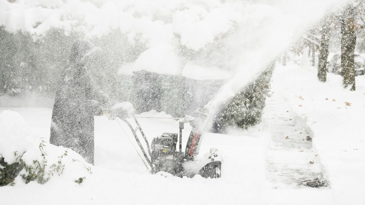
The Monday morning commute will be tough, as snow continues to fall moderate/heavy area wide. The exception could be the areas furthest north in the North Country at the border. There, we could find some breaks in the action.
Through Monday afternoon, snowfall intensity will go down a bit and will become more scattered in nature.
Monday Highs:
- Central New York: Low 30s
- North Country: Upper 20s
- Southern Tier: 30 - 35
Scattered snow showers with some pockets could continue into the second half of Monday - Especially if you’re further east towards the Catskills and the Champlain Valley.
Late Monday/early Tuesday is when this winter storm finally makes its exit.
Additional snowfall totals can be seen here:
Tuesday looks dry afterwards. Some light snow is possible Wednesday.
After a mainly dry day on Thursday, a wintry mix is possible again on Friday.
No major winter weather systems are in sight for the rest of next week. We may even find more sunshine this weekend as we stay colder than average.
7-Day Forecast: Central New York - North Country - Southern Tier