WEATHER HEADLINES:
→ Mainly Dry Overnight
→ Few Showers/Storms Wednesday
→ More Rain Thursday
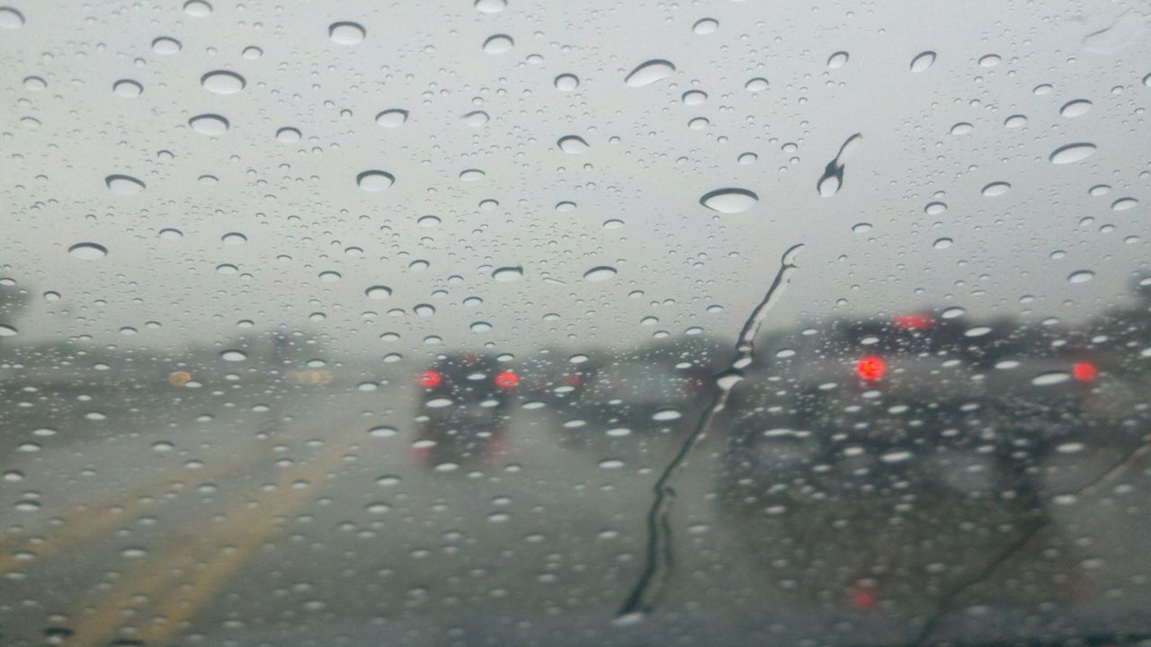
Spotty showers will give way to dry weather overnight from the North Country to the Southern Tier. Expect partly to mostly cloudy skies.
Track showers anytime with our Interactive Radar!
Lows Tonight:
- Central New York: 50s/60
- Northern New York: 52 – 58
- Southern Tier: 50s/60
On Wednesday, we will find clouds and some limited sunshine. A few spotty to scattered showers will develop from about midday through the afternoon. A couple thunderstorms are also not out of the question. Do not expect rain everywhere across the area every minute of the day; these showers and storms will be fairly short-lived and not widespread. High temperatures will be at or above average, along with a touch of humidity.
Highs Wednesday:
- Central New York: 70s/80
- Northern New York: 70s/80
- Southern Tier: 70s/80
On Thursday, better chances for rain arrive as a cold front crosses the region. Expect periods of steady rain which could fall moderate to heavy at times, leading to ponding of water on area roadways. Some embedded thunder and gusty winds are also possible. Temperatures still look to make it into the 70s for most locations.
Outside of a lingering shower early on Friday, we will gradually welcome in more dry time. Highs will turn a little cooler in the wake of the aforementioned cold front as we wrap up the work week.
The early call on the weekend is a good one for those with outdoor plans! It looks like we will see a good deal of sunshine both days with highs in the 70s for most.
Stay tuned to Spectrum News for updates.