


A coastal storm will race away quickly today and bring a dry afternoon for our Hudson Valley.
The lower to mid Hudson Valley and areas pointing south and east will see the bulk of the impacts from this event, where snowfall rates around an inch per hour are possible. This means snow will be accumulating fast during this time period.
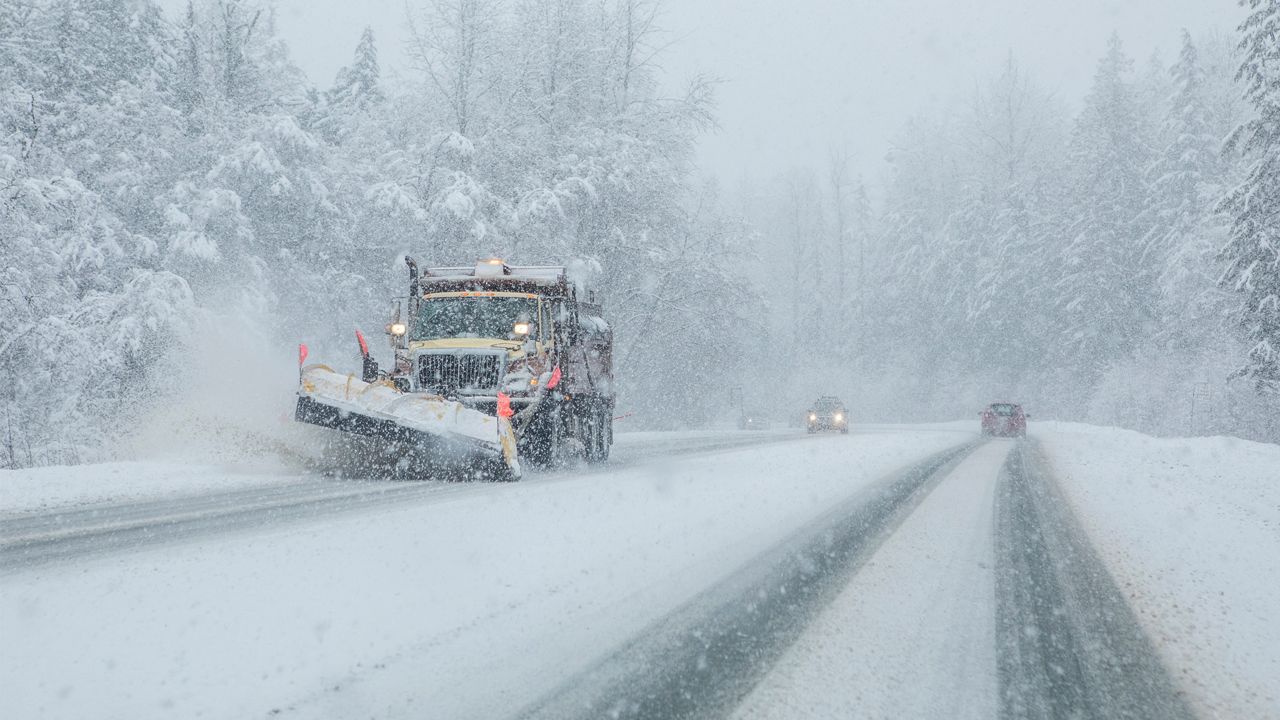
In addition, winds will also become gusty, leading to blowing and drifting snow. This will reduce visibility.
The Lower Hudson Valley will see the highest snow totals, with places near Newburgh seeing accumulations in the double digits.
Amounts aside, times of heavy snow quickly accumulating on the roads will still lead to hazardous driving conditions on Tuesday.
Once again, the timing of this storm will occur from the pre-dawn hours through lunchtime, then it shuts off abruptly.
A cold front slips down from the north later Tuesday evening, bringing another dusting to an inch of snow.
Prepare ahead of time before winter weather impacts your area. Sign up for weather notifications to receive the latest weather updates, and keep up with this article for the latest details on this event.
Our team of meteorologists dives deep into the science of weather and breaks down timely weather data and information. To view more weather and climate stories, check out our weather blogs section.