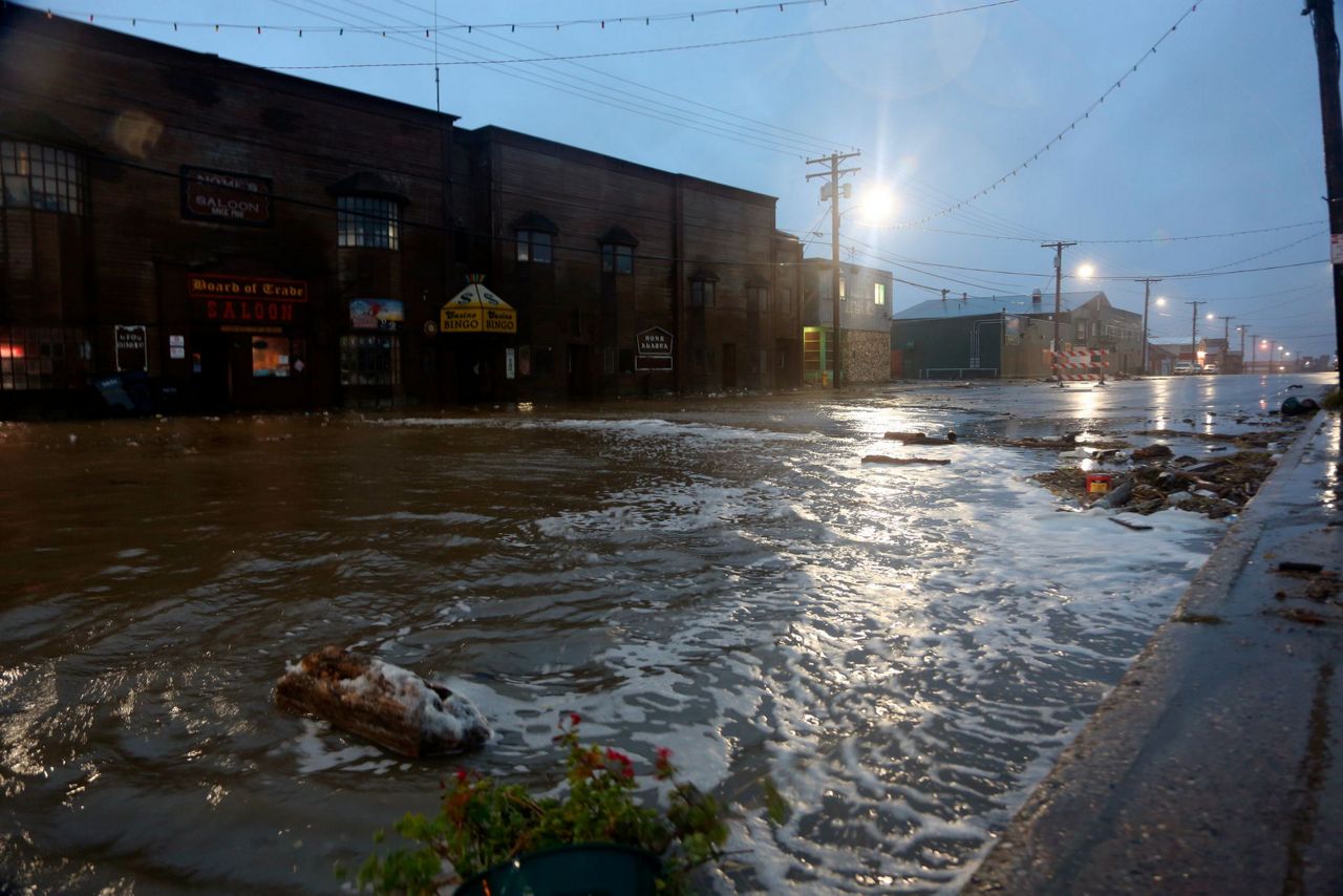
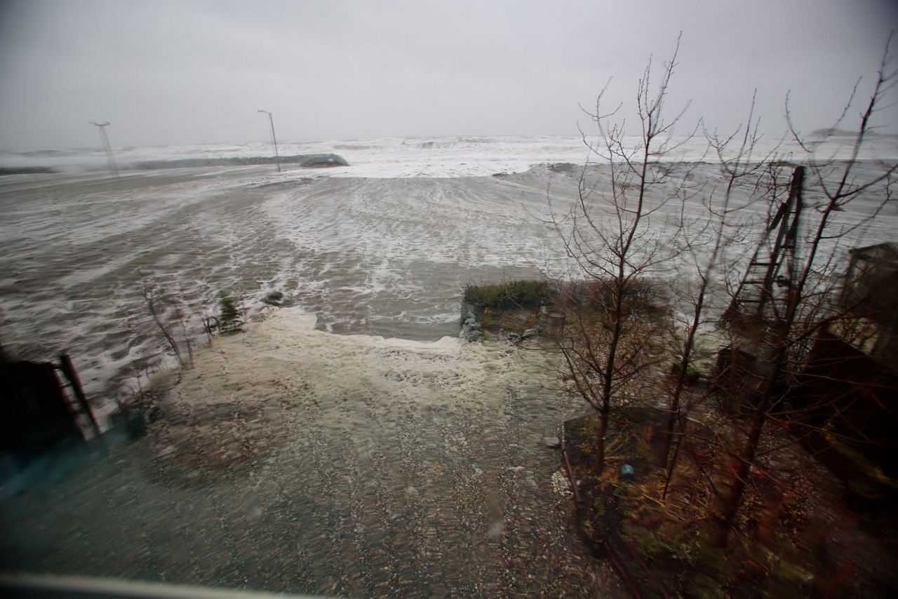
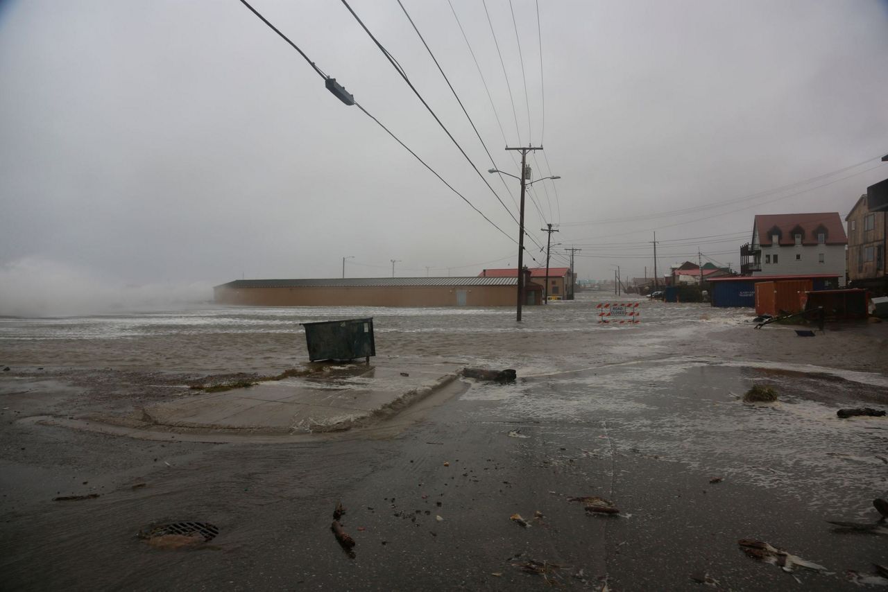
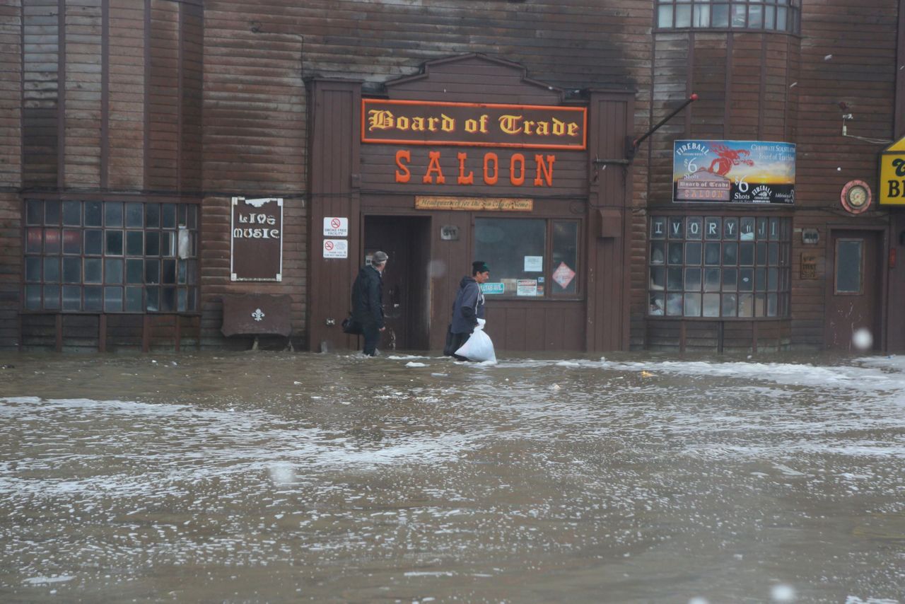
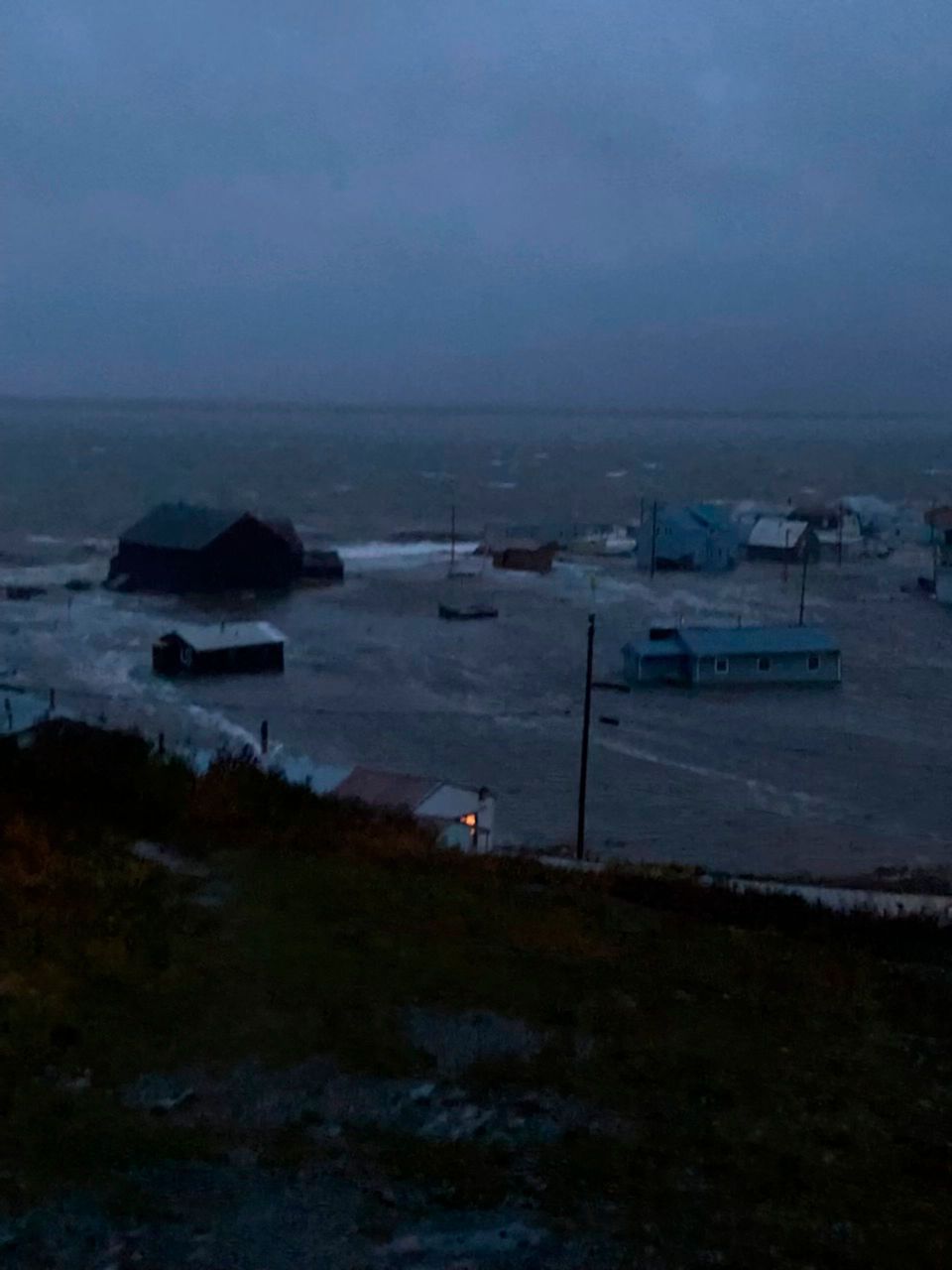
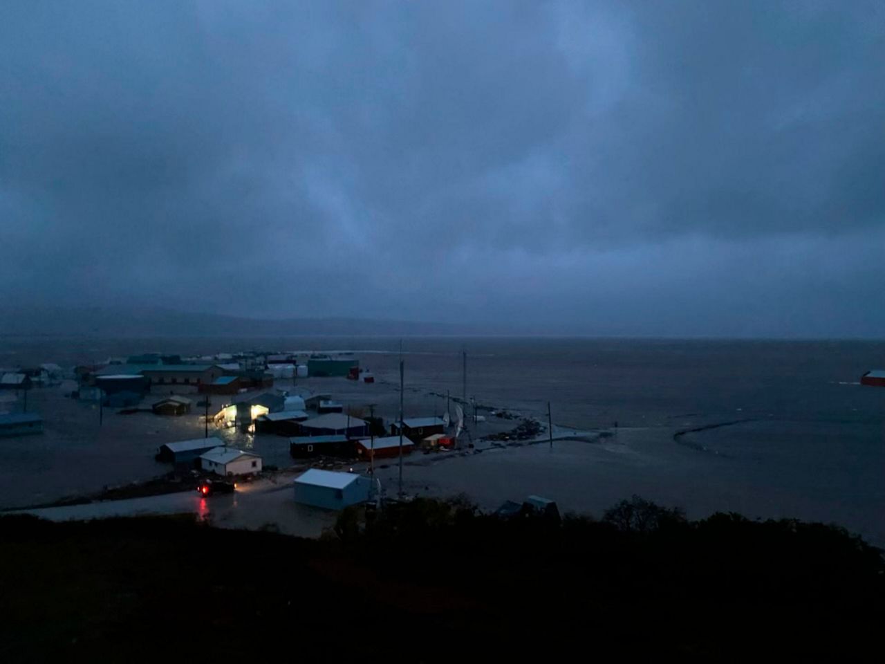
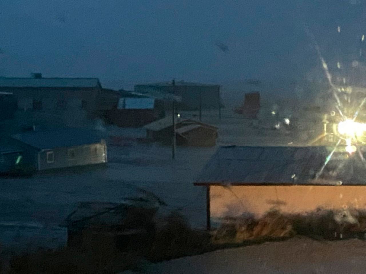
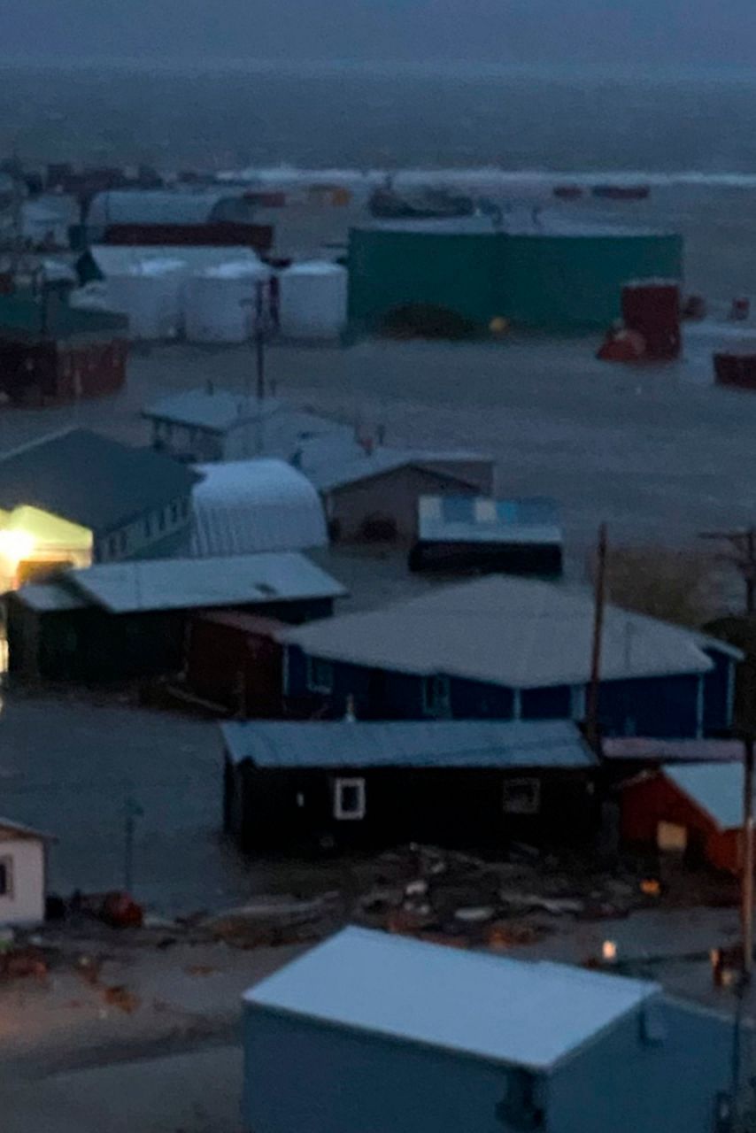
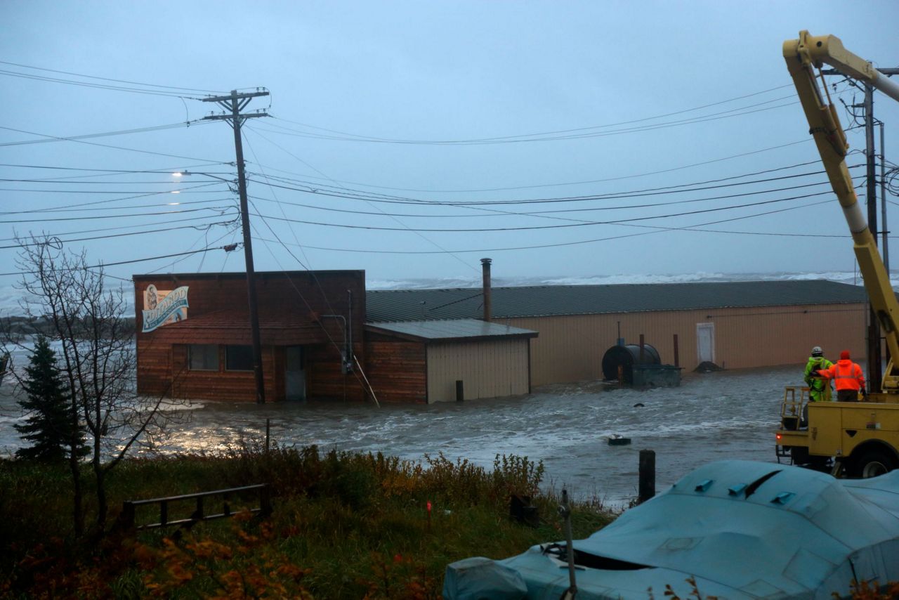
ANCHORAGE, Alaska (AP) — A powerful storm sweeping north through the Bering Strait on Saturday caused widespread flooding in several western Alaska coastal communities, knocking out power and sending residents fleeing for higher ground.
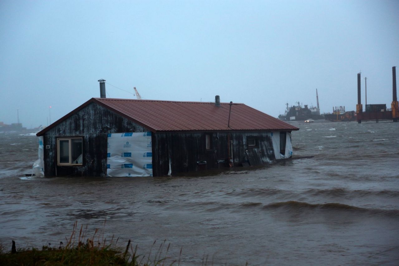
The force of the water moved some homes off their foundations, and one house in Nome floated down a river until it got caught at a bridge.
The potent storm — what remains of Typhoon Merbok — has been influencing weather patterns as far away as California, where strong winds and a rare late-summer rainstorm were expected.
In Alaska, no injuries or deaths were immediately reported, said Jeremy Zidek, spokesperson for the Alaska Department of Homeland Security and Emergency Management. Officials had warned some places could see their worst flooding in 50 years and that the high waters could take up to 14 hours to recede.
Gov. Mike Dunleavy issued a disaster declaration during the day.
The nearly 1,000-mile (1,609-kilometer) storm front has damaged roads and potentially other infrastructure, Dunleavy said at a Saturday evening news conference. Officials will evaluate any effects on water and sewer systems, seawalls, fuel storage areas, airports, and ports.
Federal Emergency Management Agency representatives were already in Alaska before the storm, and Dunleavy said they will stay to help assess damage.
“Our goal is to get the assessments done as soon as possible,” he said. “We’re going to move as quickly as we can to provide relief, provide recovery, provide the essentials that people need.”
Among the hardest hit communities was Golovin, a village of 170 or so residents who mostly sought shelter at a school or in three buildings on a hillside. Winds in the village gusted over 60 mph (95 kph) and the water rose 11 feet (3.3 meters) above the normal high tide line and was expected to rise another 2 feet (60 centimeters) Saturday before cresting.
“Most of the lower part of the community is all flooded with structures and buildings inundated,” said Ed Plumb, a meteorologist with the National Weather Service in Fairbanks.
Clarabelle Lewis, the facility manager for the tribal government, the Chinik Eskimo Community, was among those who sought refuge on the hill overlooking Golovin. She and others were riding out the storm in the tribal office after securing items at their homes from the high winds and helping neighbors do the same.
“The winds were howling; it was noisy,” she said.
Most communities experienced wind gusts ranging from 41 mph (66 kph) to 67 mph (108 kph), but Cape Romanzof had peak winds of 91 mph (146 kph), the weather service said.
Lewis has never experienced a storm like this in 20 years living in Golovin.
“We’ve had flooding in the past a few times, but it was never this severe,” she said. “We’ve never had homes moved from their foundations.”
There were also reports of flooding in Hooper Bay, St. Michael’s, Unalakleet and Shaktoolik, where waves crashed over the berm in front of the community, Plumb said.
In Hooper Bay, more than 250 people took shelter inside the school, Bethel public radio station KYUK reported. The village is one of the largest along the coast with nearly 1,400 residents.
The school’s vice principal, Brittany Taraba, said three homes were knocked off their foundations and large parts of the village were flooded.
Residents are supporting each other, including donating recently caught and processed moose to feed those sheltering at the school.
“It’s really amazing to watch this community,” Taraba told KYUK.
Plumb said the storm would track through the Bering Strait on Saturday and then head into the Chukchi Sea.
“And then it’s going to kind of park and weaken just west of Point Hope,” he said of the community on Alaska’s northwest coast.
He said there would be high water in the vicinity of the northern Bering Sea through Saturday night before levels start to subside through Sunday. Rising water levels farther north, in the Chukchi Sea and Kotzebue Sound areas, were expected into Sunday.
In Northern California, wind gusts up to 40 mph (64 kph) were forecast overnight Saturday and into Sunday morning along coastal areas from Sonoma County down to Santa Cruz and at higher elevations in the Sierra Nevada, the weather service said.
Winds that strong can blow down branches and drought-stressed trees and cause power outages, said weather service meteorologist Ryan Walbrun.
Storms were expected to start Sunday morning and dump up to 3 inches (7.6 centimeters) of rain in coastal areas of Sonoma County and a bit less as rains move southward to the San Francisco area and into the Santa Cruz mountains, Walbrun said.
“It’s a pretty significant rain for this early in the season,” he said, adding that the storms are forecast to continue on and off through at least Monday, making commutes to work wet with slick roads.
In the Sierra Nevada foothills northeast of the state capital of Sacramento, fire crews have been fighting what has become the largest wildfire in that state so far this year. While rain is needed, the winds were a concern for crews battling the Mosquito Fire, which was 21% contained as of Saturday morning.
“The winds will definitely cause erratic fire behavior” that could ignite new hot spots despite the welcome moisture, said Cal Fire spokesman Scott McLean. “The rain is not going to put out the fire but it will help.”
___
Gecker reported from San Francisco.
Copyright 2022 The Associated Press. All rights reserved. This material may not be published, broadcast, rewritten or redistributed without permission.


