


A storm system passing north of the region will bring a cold soaking rain through mid-afternoon. The bigger impact will be the strong winds that follow Thursday night into Friday morning. While we do not expect any widespread issues, a few outages are possible.
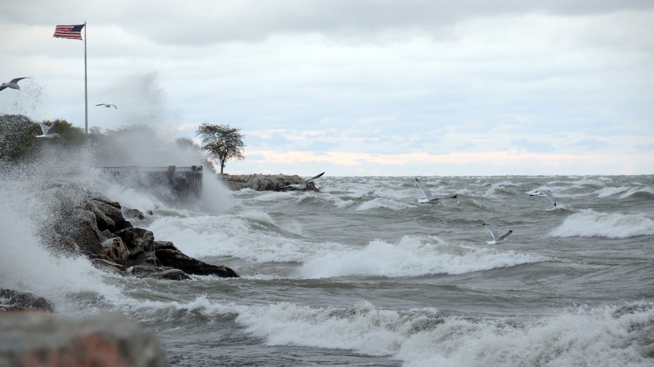
Damaging winds could knock down trees, blow down unsecured items on your property and cause power outages. A few power outages are possible. Travel will be difficult for those who drive high profile vehicles, especially along north-south roads.
With wind gusts from 40 to 55 mph Thursday night into early Friday morning, parts of Western New York are under a High Wind Warning.
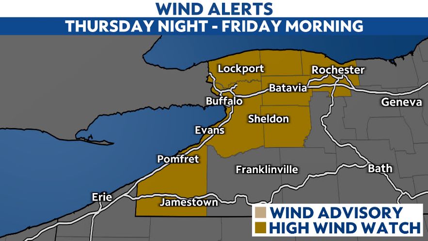
While it will be breezy by the evening, the core of strongest winds will occur between 7 p.m. tonight to 7 a.m. Friday morning.
A cold rain will taper off for most by the end of the day. A few spotty showers will occur as the wind picks up tonight.
Our team of meteorologists dives deep into the science of weather and breaks down timely weather data and information. To view more weather and climate stories, check out our weather blogs section.