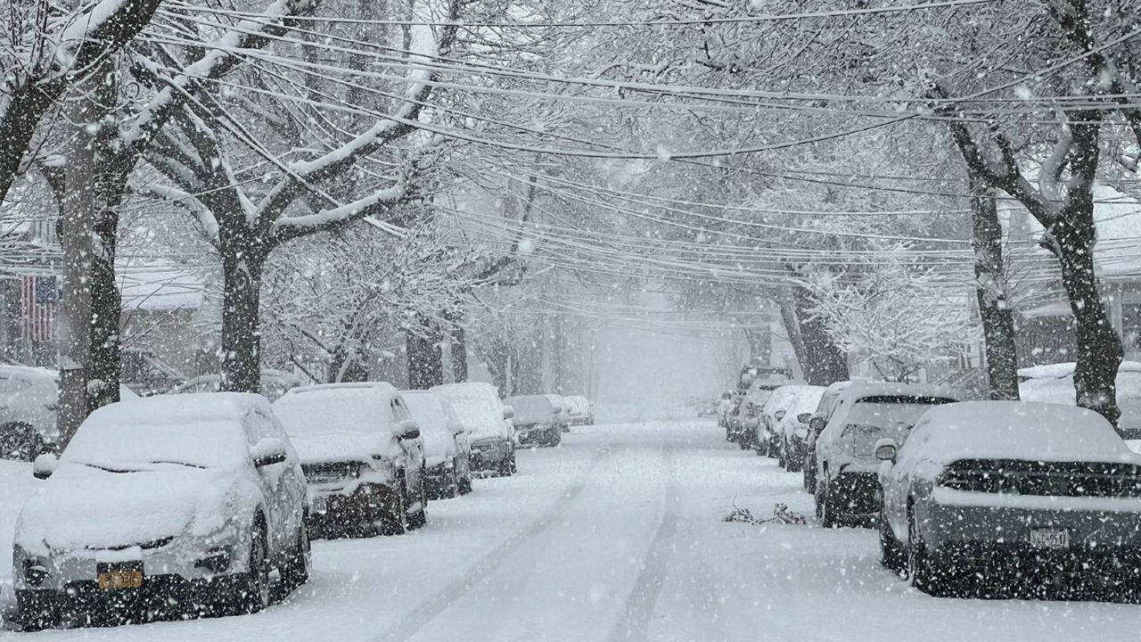
For the end of the weekend, the lake-effect snow band of snow will be east of Lake Erie, just south of Buffalo through Monday.
Through Saturday, much of the Buffalo metro area picked up at least 6 to 12 inches of snow.
Heavy snow continues to fall in parts of western New York, but now it's just shifted south of Buffalo. While the metro may be in and out of lighter snows at times, additional accumulation will be minimal.
The heaviest snow will be in southern Erie into parts of Wyoming, Cattaraugus and Chautauqua counties.
Lake Effect Snow Warnings for Genesee and northern Erie counties have been canceled.
Southern Erie, Wyoming, Cattaraugus and Chautauqua counties will remain under the Lake-Effect Snow Warning through Monday afternoon.
Travel will be very difficult within these bands of snow, with snowfall rates of at least 1 to 2 inches per hour, and winds gusting up to 30 mph. Blowing snow could reduce visibility to less than a mile at times.
For northern Erie and Genesee Counties, additional snowfall through the weekend will range between 6 to 12 inches in the most persistent bands of snow. Although higher snow totals are expected south of Buffalo.
By Monday afternoon, 1 to 2 feet of snow could cover parts of Wyoming, Chautauqua, Cattaraugus and Southern Erie counties.
As is always the case with lake-effect snow events, there will be sharp cutoffs in who sees a lot of snow and who sees much less, especially the further inland you travel.
Snowy weather will continue east of Lake Erie on Monday, but the bands of snow will become more scattered and weaker as the day progresses before quieter weather returns midweek.
Our team of meteorologists dives deep into the science of weather and breaks down timely weather data and information. To view more weather and climate stories, check out our weather blogs section.


