


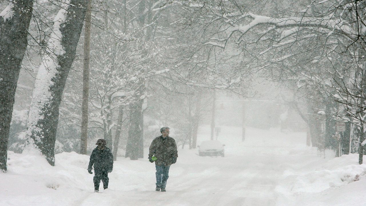
Scattered lake-effect snow bands will continue to impact parts of West New York through Sunday.
As today progresses, the lake-effect snow bands will become more disorganized in nature. So, instead of one intense band of snow, it'll be more scattered.
The Southern Tier will continue to deal with the leftover lake-effect snow showers the longest. Between Saturday night and today, 6 to 12 inches of additional snowfall (and potentially more in some spots) will be fair game there by the time the weekend comes to an end, especially across the higher terrain.
Tonight, the band will actually shift back northward towards Buffalo and Erie County. A quick inch or two may be possible overnight for the Buffalo metro area.
As the band of snow continues to shift northward, it'll weaken and eventually dissipate by Monday morning.
- Check here for a county-by-county breakdown of what to expect in your area
- Check here to see how much snow has already fallen in WNY & CNY
- Watch live coverage from your local weather experts at Spectrum News 1
- Check hourly conditions and the daily forecast
- Get weather notifications
- See a list of delays and closings
- Send us your snow photos
It’s interesting and worth noting that Nov. 17 marked the eight-year anniversary of the November 2014 snow event.
Like 2014, right now, Lake Erie’s temperature sits above average. This time of year, Lake Erie typically reports readings in the 49 to 50-degree range. It's a little warmer than that right now.