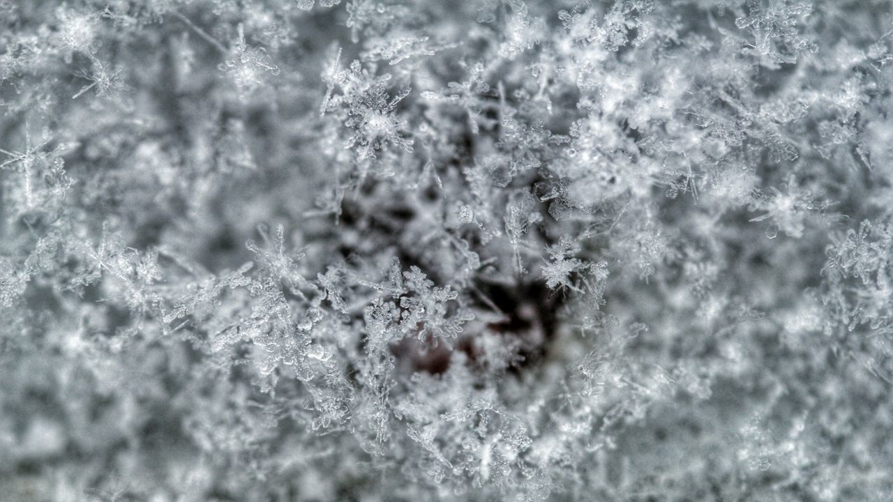
Just before sunrise on Oct. 20, Buffalo saw its first snowflakes of the season.
While it was a few days earlier than average, the first snowfall for Buffalo wasn’t record-breaking.
The earliest snowflakes on record for Buffalo happened on Sept. 20, 1956. On average, the first flakes fly toward the end of October.
Even in terms of amounts this past week, it wasn’t much. The Buffalo Airport recorded just a trace amount of snow Thursday morning, which means too little to measure.
Anything at least 0.1" is considered measurable. On average, that happens on Nov. 8 in Buffalo. The earliest measurable snow was Oct. 6, 1991.
For the earliest inch, you have to go all the way back to Oct. 10, 1906. The first inch typically happens later on in November, with an average date of Nov. 18.
On the flip side, some years it seems like it takes forever for any snow to show up.
The latest first snowflakes for Buffalo belong to Nov. 22 of both 1946 and 1985.
Buffalonians may remember the winter of 2015, considering it started off pretty slowly. The first measurable snowfall of at least 0.1” didn’t happen until Dec. 18, which is the latest on record.
Not to be outdone, Buffalo didn’t pick up at least an inch of snow during the winter of 1932 until Jan. 2.
So, while this season’s first snowflakes were a little ahead of schedule, it’s nothing that’s going to secure a spot in the record books.
Follow Meteorologist Christina Reis on Facebook, Instagram and Twitter!
Our team of meteorologists dives deep into the science of weather and breaks down timely weather data and information. To view more weather and climate stories, check out our weather blogs section.


