


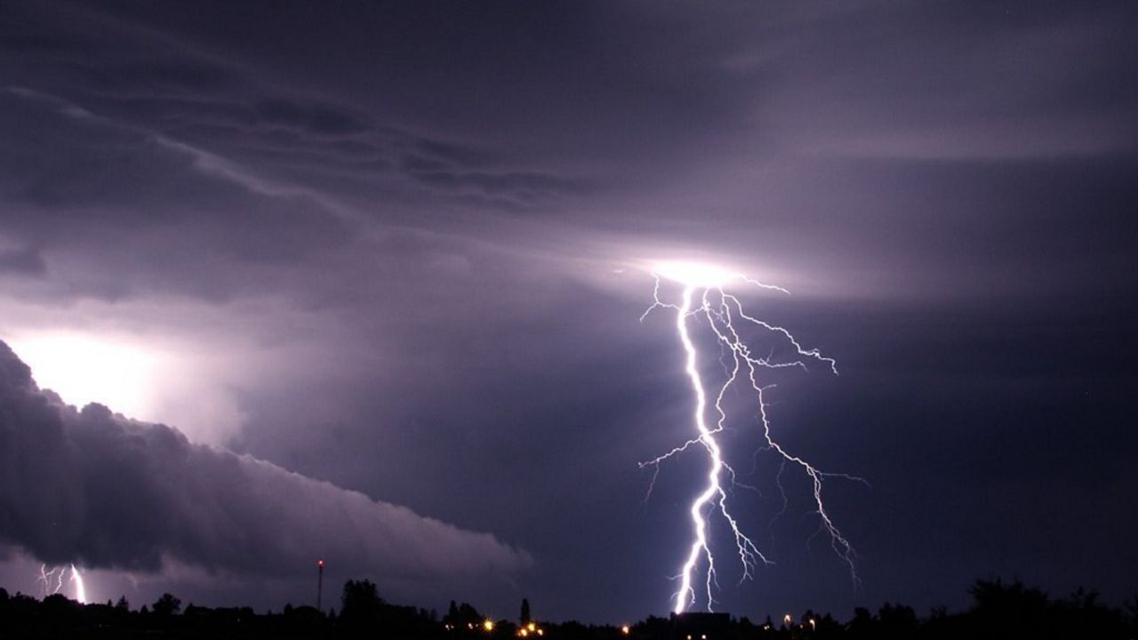
The oppressive heat and humidity remain hot in the headlines today, but much of the Empire State will need to keep something else on their radar. The potential for severe weather.
While most of the state is under some level of risk, Western and Central New York face the greatest threat for severe storms through this evening.
The Storm Prediction Center (SPC) put the region, which includes the cities of Buffalo, Rochester and Syracuse, under an enhanced risk (level 3 of 5).
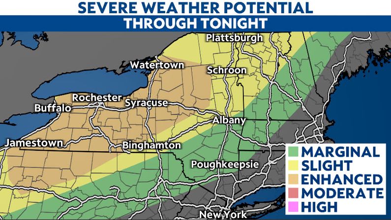
Damaging winds capable of gusting up to 60 mph remains among the biggest concerns, along with the potential for hail, heavy downpours and even a few tornadoes could spin up as well.
While parts of the state continue to see some scattered showers and storms popping up this afternoon, the bulk of the activity will arrive later today into tonight.
Storms will move in from west to east, hitting Buffalo and Rochester first this evening before reaching Syracuse later tonight.
In general, storms are expected to lose some intensity by the time they reach the Hudson Valley and Albany, but could still be strong enough to cause impacts.
Regardless, make sure to stay weather-aware and have a way to receive important weather alerts and updates, especially as storms approach.