


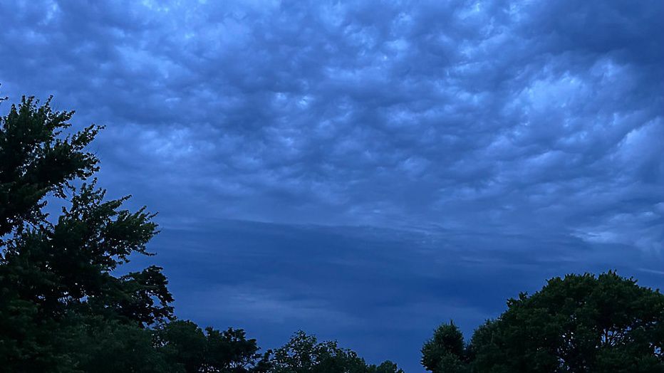
The low-pressure system that brought the wet weather today will continue to depart the region tonight. Any shower or storm activity should diminish around sunset with just clouds overnight. Areas of fog will develop with temperatures settling in the upper 60s.
A spot shower or rumble of thunder will be possible tomorrow morning, but no widespread rain is expected. Clouds will gradually decrease in the afternoon, giving way to some peeks of sunshine. With the added sun, temperatures will reach the lower 80s.
Skies will become mostly clear tomorrow night. Temperatures will be in the mid to upper 60s with some spots of fog.
We’ll see more sunshine on Father’s Day as the low is finally far enough away. Under partly cloudy skies, temperatures will climb into the mid-80s. Can’t rule out a late day spot shower or storm from a passing disturbance, but no widespread wet weather is expected.
 |
Evening showers Low: Upper 60s; Winds: Becoming Calm High: Lower 80s; Winds: North at 5 to 10 mph Hour-by-hour forecast | Share your weather photos | Turn on weather notifications | Radar |